
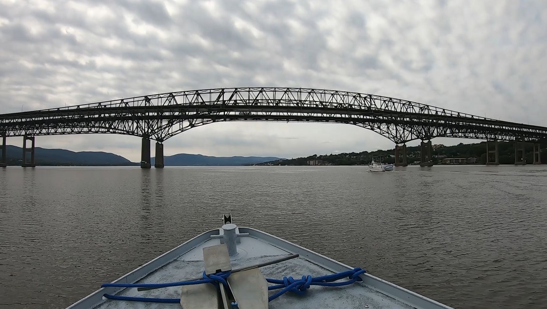
Hudson River Spatial Mapping Boat Trip- photo for video

Detailed Description
an Image from a video recording taken during a spatial mapping boat trip of about 50 miles on the Hudson River from New Hamburg to Yonkers, NY, passing through the Hudson Highlands, West Point, and the Tappan Zee. Water quality parameters, including temperature, pH, specific conductivity, turbidity, and algal fluorescence were mapped using an intake and flow cell at the back of the boat.
Sources/Usage
Public Domain.