
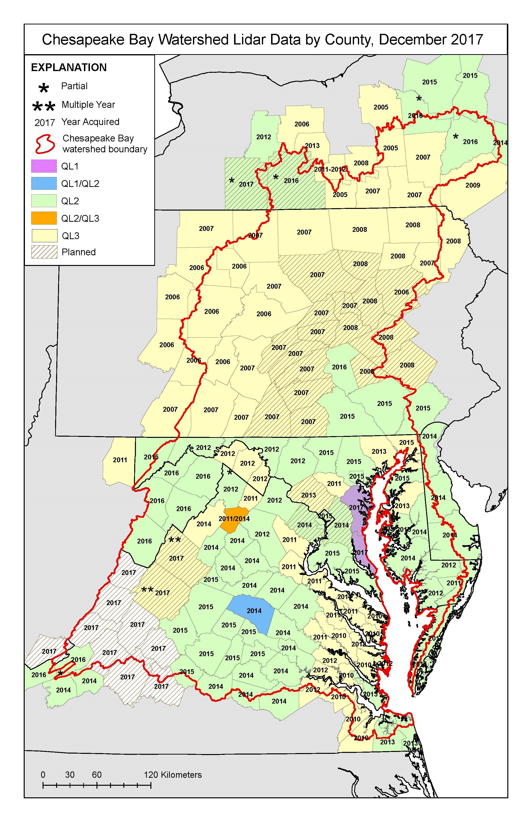
Map of December 2017 Chesapeake Bay Watershed Lidar Data by County

Detailed Description
Map graphic for use in USGS Science Summary USGS 3D Elevation Program Supports Science Activities in the Chesapeake Watershed showing December 2017 Chesapeake Bay Watershed Lidar Data by County
Sources/Usage
Public Domain.