
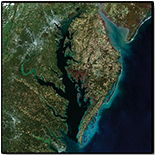
Small picture of the Landsat 8 Chesapeake Bay watershed image

Detailed Description
Small image of the USGS EROS created true color composite image using Provisional Surface Reflectance data from five Landsat 8 scenes, acquired in October and November 2014.
Sources/Usage
Public Domain.