
Utuado, Puerto Rico Landslide Monitoring Site
Detailed Description
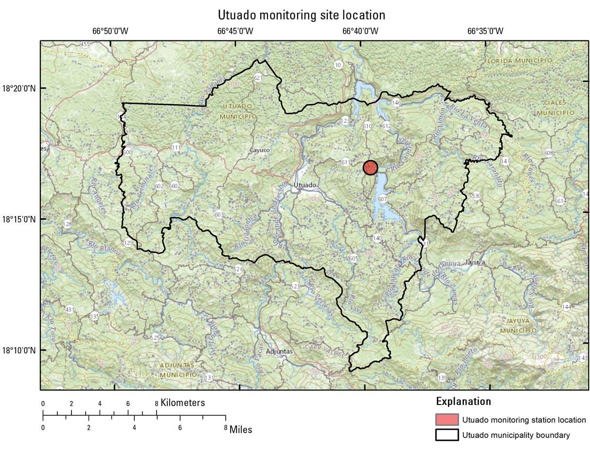
Utuado, Puerto Rico landslide monitoring site. The Utuado monitoring station is located directly upslope from the Lake Caonillas dam. It is vegetatively unique compared to the other stations in that the surrounding vegetation is mainly switchgrass, with sparse trees. The steep slopes at the station are underlain by Cretaceous granodiorite and quartz-diorite.
Sources/Usage
Public Domain.