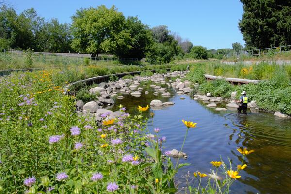
Collecting fish using a seine at Lincoln Creek near 47th Street in Milwaukee, Wisconsin
Collecting fish using a seine at Lincoln Creek near 47th Street in Milwaukee, WisconsinCollecting fish using a seine at Lincoln Creek near 47th Street in Milwaukee, Wisconsin in summer. LINCOLN CREEK AT 47TH STREET AT MILWAUKEE, WI - USGS Water Data for the Nation