

An example of a Maurice River longitudinal profile survey on 6/30/2022. The average specific conductivity is shown at each cross-section. The transects help demonstrate the relationship between specific conductivity and distance upstream from the mouth of the Maurice River.
Jason Shvanda
Jason is a supervisory hydrologist with the USGS New Jersey Water Science Center. He currently oversees work within the Surface Water Science Team and manages of a team of highly motivated hydrographers who collect and interpret surface water data.
Science and Products
Saltwater Intrusion and Sea Level Rise Monitoring in New Jersey
Frequently, water withdrawals for public supply are made from the freshwater reaches of rivers and streams across new Jersey. Overall, there is a lack of scientific information describing the movement of saltwater upstream into the tributaries discharging into Delaware Bay. This project is beginning to collect water quality data along three selected tributaries in New Jersey to Delaware Bay in an...
Filter Total Items: 24

Maurice River Cross Sections
An example of a Maurice River longitudinal profile survey on 6/30/2022. The average specific conductivity is shown at each cross-section. The transects help demonstrate the relationship between specific conductivity and distance upstream from the mouth of the Maurice River.

Study Basin Map
The map overview highlights the three basins involved in the monitoring project across southern New Jersey. The USGS gages listed are the nearest telemetry stations recording tidal elevation, specific conductance, and water temperature.
The map overview highlights the three basins involved in the monitoring project across southern New Jersey. The USGS gages listed are the nearest telemetry stations recording tidal elevation, specific conductance, and water temperature.

Streamgage 01446500 Delaware River at Belvidere, NJ
Webcam at USGS Streamgage 01446500 Delaware River at Belvidere, NJ
Visit Water Data For the Nation to get current data for this site.
Webcam at USGS Streamgage 01446500 Delaware River at Belvidere, NJ
Visit Water Data For the Nation to get current data for this site.

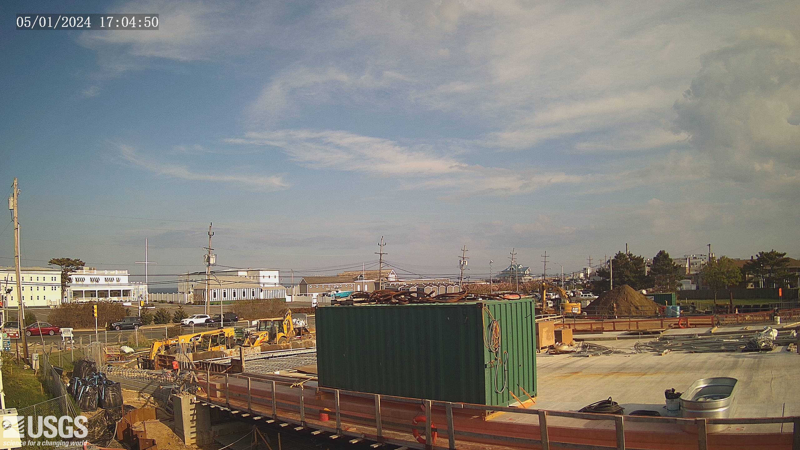
Streamgage 01411350 Ludlum Thorofare at Sea Isle City, NJ
Webcam at USGS Streamgage 01411350 Ludlum Thorofare at Sea Isle City, NJ
Visit Water Data For the Nation to get current data for this site.
Webcam at USGS Streamgage 01411350 Ludlum Thorofare at Sea Isle City, NJ
Visit Water Data For the Nation to get current data for this site.
Streamgage 01407600 Shrewsbury River at Sea Bright, NJ
Webcam at USGS Streamgage 01407600 Shrewsbury River at Sea Bright, NJ
Visit Water Data For the Nation to get current data for this site.
Webcam at USGS Streamgage 01407600 Shrewsbury River at Sea Bright, NJ
Visit Water Data For the Nation to get current data for this site.

Streamgage 01396090 Arthur Kill at Perth Amboy, NJ
Webcam at USGS Streamgage 01396060 Arthur Kill at Perth Amboy, NJ
Visit Water Data For the Nation to get current data for this site.
Webcam at USGS Streamgage 01396060 Arthur Kill at Perth Amboy, NJ
Visit Water Data For the Nation to get current data for this site.

Streamgage 01389534 Peckman River at Ozone Ave at Verona, NJ
Webcam at USGS Streamgage 01389534 Peckman River at Ozone Ave at Verona, NJ
Visit Water Data For the Nation to get current data for this site.
Webcam at USGS Streamgage 01389534 Peckman River at Ozone Ave at Verona, NJ
Visit Water Data For the Nation to get current data for this site.

Streamgage 01388910 Pompton River at Mountainview, NJ
Webcam at USGS Streamgage 01388910 Pompton River at Mountainview, NJ
Visit Water Data For the Nation to get current data for this site.
Webcam at USGS Streamgage 01388910 Pompton River at Mountainview, NJ
Visit Water Data For the Nation to get current data for this site.

Streamgage 01380450 Rockaway River at Main St. at Boonton, NJ
Webcam at USGS Streamgage 01380450 Rockaway River at Main St. at Boonton, NJ.
Visit Water Data For the Nation to get current data for this site.
Webcam at USGS Streamgage 01380450 Rockaway River at Main St. at Boonton, NJ.
Visit Water Data For the Nation to get current data for this site.

Maurice River Survey
Looking downstream on the Maurice River while surveying between the USGS 01412130 -Maurice R at Mauricetown NJ gage and the boat launch site upstream in Millville.
Looking downstream on the Maurice River while surveying between the USGS 01412130 -Maurice R at Mauricetown NJ gage and the boat launch site upstream in Millville.

Sonde Sensor
Multiparameter sonde used to measure water temperature and specific conductance at each Telemetry Gage location. The sonde is hard-wired into the gage and provides real-time timeseries data.
Multiparameter sonde used to measure water temperature and specific conductance at each Telemetry Gage location. The sonde is hard-wired into the gage and provides real-time timeseries data.
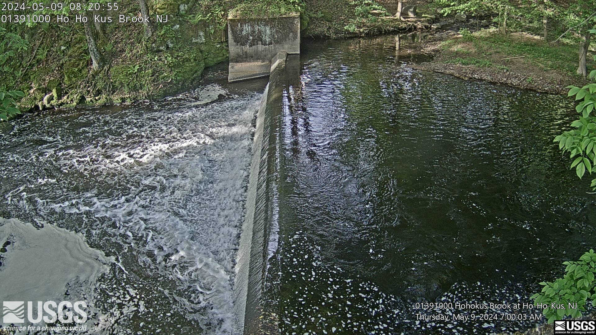
Streamgage 01391000 Hohokus Brook at Ho-Ho-Kus, NJ
Webcam at USGS Streamgage 01391000 Hohokus Brook at Ho-Ho-Kus, NJ
Visit Water Data For the Nation to get current data for this site.
Webcam at USGS Streamgage 01391000 Hohokus Brook at Ho-Ho-Kus, NJ
Visit Water Data For the Nation to get current data for this site.
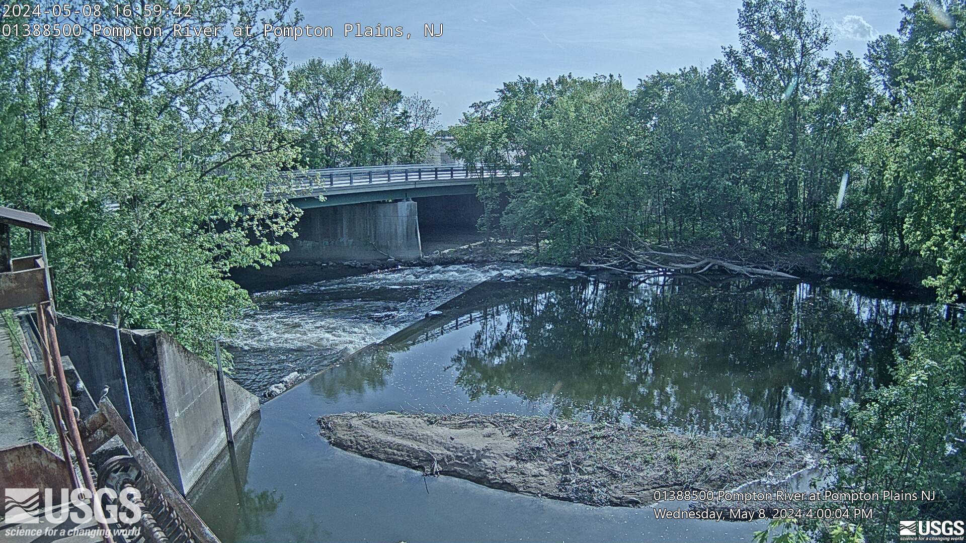
Streamgage 01388500 Pompton River at Pompton Plains, NJ
Webcam at USGS Streamgage 01388500 Pompton River at Pompton Plains, NJ
Visit Water Data For the Nation to get current data for this site.
Webcam at USGS Streamgage 01388500 Pompton River at Pompton Plains, NJ
Visit Water Data For the Nation to get current data for this site.
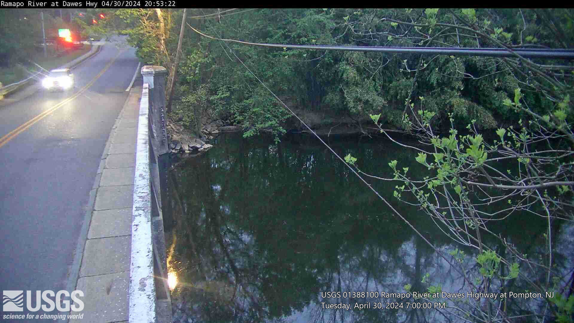
Streamgage 01388100 Ramapo River at Dawes Hwy at Pompton NJ
Webcam at USGS Streamgage 01388100 Ramapo River at Dawes Highway at Pompton NJ.
Visit Water Data For the Nation to get current data for this site.
Webcam at USGS Streamgage 01388100 Ramapo River at Dawes Highway at Pompton NJ.
Visit Water Data For the Nation to get current data for this site.
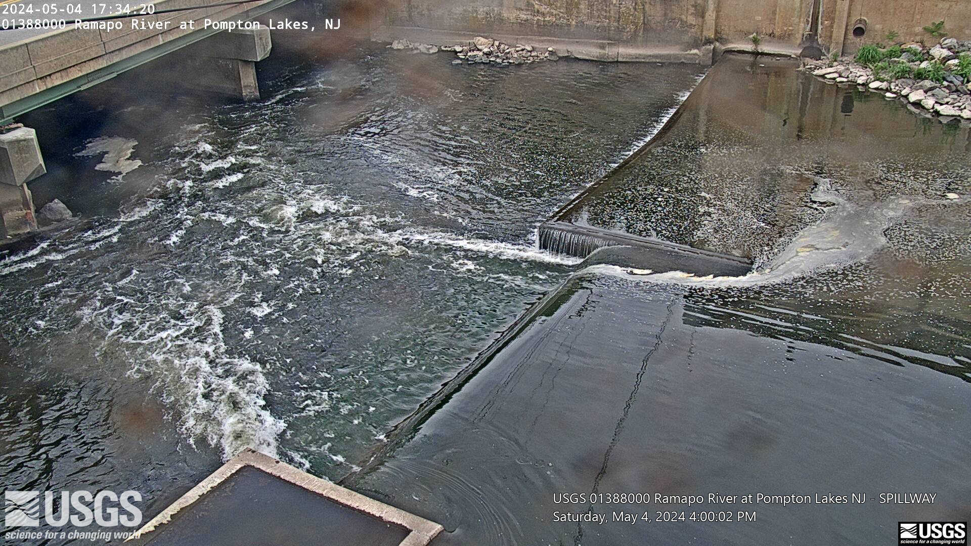
Streamgage 01388000 Ramapo River at Pompton Lakes, NJ
Webcam at USGS Streamgage 01388000 Ramapo River at Pompton Lakes, NJ
Visit Water Data For the Nation to get current data for this site.
Webcam at USGS Streamgage 01388000 Ramapo River at Pompton Lakes, NJ
Visit Water Data For the Nation to get current data for this site.
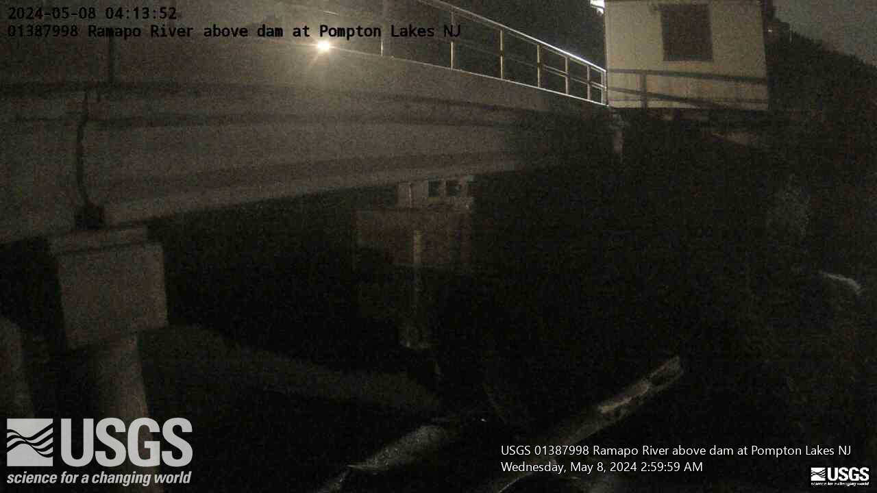
Streamgage 01387998 Ramapo R abv Dam at Pompton Lakes, NJ
Webcam at USGS Streamgage 01387998 Ramapo River above Dam at Pompton Lakes, NJ
Visit Water Data For the Nation to get current data for this site.
Webcam at USGS Streamgage 01387998 Ramapo River above Dam at Pompton Lakes, NJ
Visit Water Data For the Nation to get current data for this site.
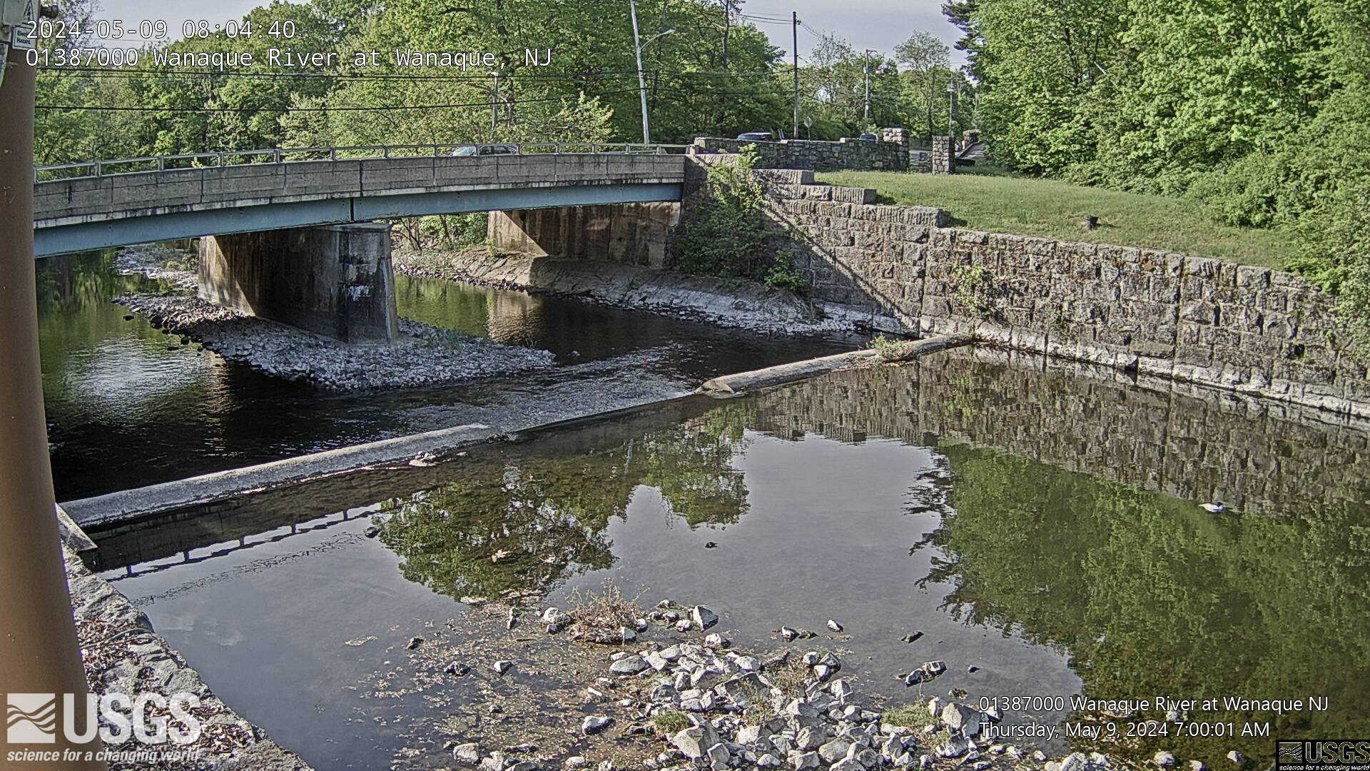
Streamgage 01387000 Wanaque River at Wanaque, NJ
Webcam at USGS Streamgage 01387000 Wanaque River at Wanaque, NJ.
Visit Water Data For the Nation to get current data for this site.
Webcam at USGS Streamgage 01387000 Wanaque River at Wanaque, NJ.
Visit Water Data For the Nation to get current data for this site.
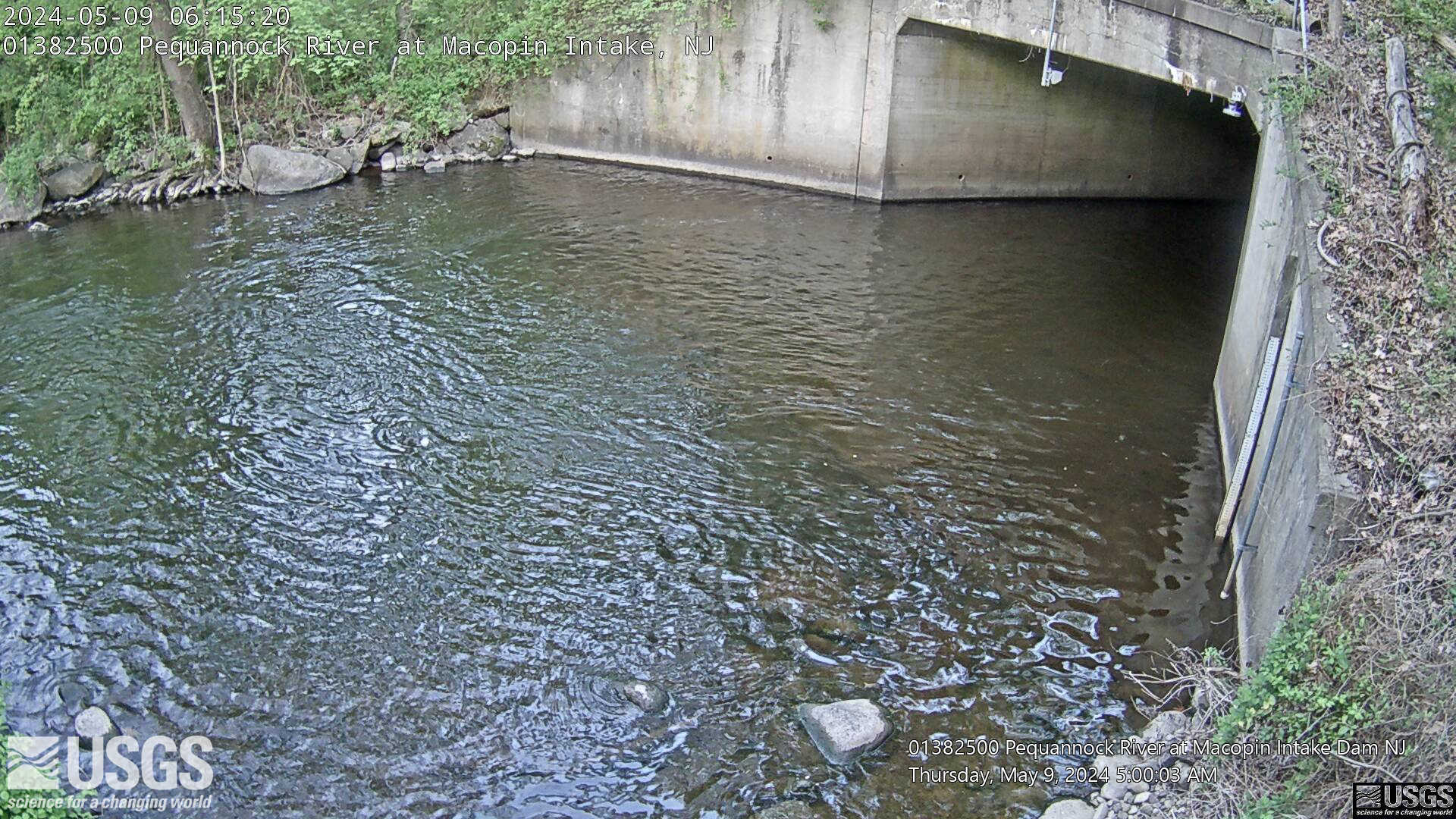
Streamgage 01382500 Pequannock R at Macopin Intake Dam, NJ
Webcam at USGS Streamgage 01382500 Pequannock River at Macopin Intake Dam, NJ
Visit Water Data For the Nation to get current data for this site.
Webcam at USGS Streamgage 01382500 Pequannock River at Macopin Intake Dam, NJ
Visit Water Data For the Nation to get current data for this site.
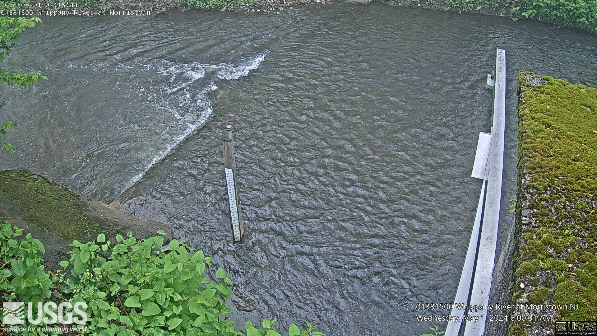
Streamgage 01381500 Whippany River at Morristown, NJ
Webcam at USGS Streamgage 01381500 Whippany River at Morristown, NJ
Visit Water Data For the Nation to get current data for this site.
Webcam at USGS Streamgage 01381500 Whippany River at Morristown, NJ
Visit Water Data For the Nation to get current data for this site.
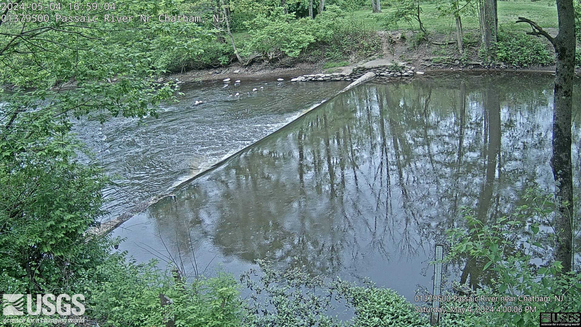
Streamgage 01379500 Passaic River near Chathem, NJ
Webcam at USGS Streamgage 01379500 Passaic River near Chathem, NJ.
Visit Water Data For the Nation to get current data for this site.
Webcam at USGS Streamgage 01379500 Passaic River near Chathem, NJ.
Visit Water Data For the Nation to get current data for this site.
Science and Products
Saltwater Intrusion and Sea Level Rise Monitoring in New Jersey
Frequently, water withdrawals for public supply are made from the freshwater reaches of rivers and streams across new Jersey. Overall, there is a lack of scientific information describing the movement of saltwater upstream into the tributaries discharging into Delaware Bay. This project is beginning to collect water quality data along three selected tributaries in New Jersey to Delaware Bay in an...
Filter Total Items: 24
Maurice River Cross Sections
An example of a Maurice River longitudinal profile survey on 6/30/2022. The average specific conductivity is shown at each cross-section. The transects help demonstrate the relationship between specific conductivity and distance upstream from the mouth of the Maurice River.
An example of a Maurice River longitudinal profile survey on 6/30/2022. The average specific conductivity is shown at each cross-section. The transects help demonstrate the relationship between specific conductivity and distance upstream from the mouth of the Maurice River.
Study Basin Map
The map overview highlights the three basins involved in the monitoring project across southern New Jersey. The USGS gages listed are the nearest telemetry stations recording tidal elevation, specific conductance, and water temperature.
The map overview highlights the three basins involved in the monitoring project across southern New Jersey. The USGS gages listed are the nearest telemetry stations recording tidal elevation, specific conductance, and water temperature.
Streamgage 01446500 Delaware River at Belvidere, NJ
Webcam at USGS Streamgage 01446500 Delaware River at Belvidere, NJ
Visit Water Data For the Nation to get current data for this site.
Webcam at USGS Streamgage 01446500 Delaware River at Belvidere, NJ
Visit Water Data For the Nation to get current data for this site.
Streamgage 01411350 Ludlum Thorofare at Sea Isle City, NJ
Webcam at USGS Streamgage 01411350 Ludlum Thorofare at Sea Isle City, NJ
Visit Water Data For the Nation to get current data for this site.
Webcam at USGS Streamgage 01411350 Ludlum Thorofare at Sea Isle City, NJ
Visit Water Data For the Nation to get current data for this site.
Streamgage 01407600 Shrewsbury River at Sea Bright, NJ
Webcam at USGS Streamgage 01407600 Shrewsbury River at Sea Bright, NJ
Visit Water Data For the Nation to get current data for this site.
Webcam at USGS Streamgage 01407600 Shrewsbury River at Sea Bright, NJ
Visit Water Data For the Nation to get current data for this site.
Streamgage 01396090 Arthur Kill at Perth Amboy, NJ
Webcam at USGS Streamgage 01396060 Arthur Kill at Perth Amboy, NJ
Visit Water Data For the Nation to get current data for this site.
Webcam at USGS Streamgage 01396060 Arthur Kill at Perth Amboy, NJ
Visit Water Data For the Nation to get current data for this site.
Streamgage 01389534 Peckman River at Ozone Ave at Verona, NJ
Webcam at USGS Streamgage 01389534 Peckman River at Ozone Ave at Verona, NJ
Visit Water Data For the Nation to get current data for this site.
Webcam at USGS Streamgage 01389534 Peckman River at Ozone Ave at Verona, NJ
Visit Water Data For the Nation to get current data for this site.
Streamgage 01388910 Pompton River at Mountainview, NJ
Webcam at USGS Streamgage 01388910 Pompton River at Mountainview, NJ
Visit Water Data For the Nation to get current data for this site.
Webcam at USGS Streamgage 01388910 Pompton River at Mountainview, NJ
Visit Water Data For the Nation to get current data for this site.
Streamgage 01380450 Rockaway River at Main St. at Boonton, NJ
Webcam at USGS Streamgage 01380450 Rockaway River at Main St. at Boonton, NJ.
Visit Water Data For the Nation to get current data for this site.
Webcam at USGS Streamgage 01380450 Rockaway River at Main St. at Boonton, NJ.
Visit Water Data For the Nation to get current data for this site.
Maurice River Survey
Looking downstream on the Maurice River while surveying between the USGS 01412130 -Maurice R at Mauricetown NJ gage and the boat launch site upstream in Millville.
Looking downstream on the Maurice River while surveying between the USGS 01412130 -Maurice R at Mauricetown NJ gage and the boat launch site upstream in Millville.
Sonde Sensor
Multiparameter sonde used to measure water temperature and specific conductance at each Telemetry Gage location. The sonde is hard-wired into the gage and provides real-time timeseries data.
Multiparameter sonde used to measure water temperature and specific conductance at each Telemetry Gage location. The sonde is hard-wired into the gage and provides real-time timeseries data.
Streamgage 01391000 Hohokus Brook at Ho-Ho-Kus, NJ
Webcam at USGS Streamgage 01391000 Hohokus Brook at Ho-Ho-Kus, NJ
Visit Water Data For the Nation to get current data for this site.
Webcam at USGS Streamgage 01391000 Hohokus Brook at Ho-Ho-Kus, NJ
Visit Water Data For the Nation to get current data for this site.
Streamgage 01388500 Pompton River at Pompton Plains, NJ
Webcam at USGS Streamgage 01388500 Pompton River at Pompton Plains, NJ
Visit Water Data For the Nation to get current data for this site.
Webcam at USGS Streamgage 01388500 Pompton River at Pompton Plains, NJ
Visit Water Data For the Nation to get current data for this site.
Streamgage 01388100 Ramapo River at Dawes Hwy at Pompton NJ
Webcam at USGS Streamgage 01388100 Ramapo River at Dawes Highway at Pompton NJ.
Visit Water Data For the Nation to get current data for this site.
Webcam at USGS Streamgage 01388100 Ramapo River at Dawes Highway at Pompton NJ.
Visit Water Data For the Nation to get current data for this site.
Streamgage 01388000 Ramapo River at Pompton Lakes, NJ
Webcam at USGS Streamgage 01388000 Ramapo River at Pompton Lakes, NJ
Visit Water Data For the Nation to get current data for this site.
Webcam at USGS Streamgage 01388000 Ramapo River at Pompton Lakes, NJ
Visit Water Data For the Nation to get current data for this site.
Streamgage 01387998 Ramapo R abv Dam at Pompton Lakes, NJ
Webcam at USGS Streamgage 01387998 Ramapo River above Dam at Pompton Lakes, NJ
Visit Water Data For the Nation to get current data for this site.
Webcam at USGS Streamgage 01387998 Ramapo River above Dam at Pompton Lakes, NJ
Visit Water Data For the Nation to get current data for this site.
Streamgage 01387000 Wanaque River at Wanaque, NJ
Webcam at USGS Streamgage 01387000 Wanaque River at Wanaque, NJ.
Visit Water Data For the Nation to get current data for this site.
Webcam at USGS Streamgage 01387000 Wanaque River at Wanaque, NJ.
Visit Water Data For the Nation to get current data for this site.
Streamgage 01382500 Pequannock R at Macopin Intake Dam, NJ
Webcam at USGS Streamgage 01382500 Pequannock River at Macopin Intake Dam, NJ
Visit Water Data For the Nation to get current data for this site.
Webcam at USGS Streamgage 01382500 Pequannock River at Macopin Intake Dam, NJ
Visit Water Data For the Nation to get current data for this site.
Streamgage 01381500 Whippany River at Morristown, NJ
Webcam at USGS Streamgage 01381500 Whippany River at Morristown, NJ
Visit Water Data For the Nation to get current data for this site.
Webcam at USGS Streamgage 01381500 Whippany River at Morristown, NJ
Visit Water Data For the Nation to get current data for this site.
Streamgage 01379500 Passaic River near Chathem, NJ
Webcam at USGS Streamgage 01379500 Passaic River near Chathem, NJ.
Visit Water Data For the Nation to get current data for this site.
Webcam at USGS Streamgage 01379500 Passaic River near Chathem, NJ.
Visit Water Data For the Nation to get current data for this site.