
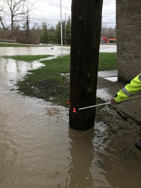
Yellow River at Knox, IN - bridge measurement
Images
Images intro.
Filter Total Items: 409

Yellow River at Knox, IN - bridge measurement
Yellow River at Knox, IN - bridge measurement

Ohio River at Ironton, OH - tower walkway
Ohio River at Ironton, OH - tower walkway
Ohio River at Ironton, OH - tower walkway

Flume in Gary City Hall rain garden, Indiana
South Flume (USGS Station ID: 413611087201301) surrounded by native plant species, including salt-tolerant blue iris, planted in the Gary City Hall rain garden, Indiana.
South Flume (USGS Station ID: 413611087201301) surrounded by native plant species, including salt-tolerant blue iris, planted in the Gary City Hall rain garden, Indiana.

Yellow Creek near Oak Grove, IN - view from left bank
Yellow Creek near Oak Grove, IN - view from left bank of site
Yellow Creek near Oak Grove, IN - view from left bank of site

Kanakee River at Davis, IN - gage house side view
Kanakee River at Davis, IN - gage house side view
Kanakee River at Davis, IN - gage house side view

Kentucky River at Lock 2 at Lockport KY - walkway across the dam
Kentucky River at Lock 2 at Lockport KY - walkway across the dam
Kentucky River at Lock 2 at Lockport KY - walkway across the dam

Kentucky River at Lock 2 at Lockport KY - gage house
Kentucky River at Lock 2 at Lockport KY - gage house
Kentucky River at Lock 2 at Lockport KY - gage house

Kankakee River at Davis, IN - side view of gage on bridge
Kankakee River at Davis, IN - side view of gage on bridge
Kankakee River at Davis, IN - side view of gage on bridge

Cuyahoga River at Independence OH - flood water in gage house
Cuyahoga River at Independence OH - flood water in gage house
Cuyahoga River at Independence OH - flood water in gage house
Cuyahoga River at Independence OH - 2018 high water mark
Cuyahoga River at Independence OH - 2018 high water mark
Cuyahoga River at Independence OH - 2018 high water mark

Eagle Creek at Zionsville, IN
Eagle Creek at Zionsville, IN
Eagle Creek at Zionsville, IN

Yellow Creek near Oak Grove, IN - view from bridge
Yellow Creek near Oak Grove, IN - view from bridge
Yellow Creek near Oak Grove, IN - view from bridge

Yellow Creek near Oak Grove, IN
Yellow Creek near Oak Grove, IN - high flow measurement
Yellow Creek near Oak Grove, IN - high flow measurement

Yellow Creek near Oak Grove, IN - adcp high water measurement
Yellow Creek near Oak Grove, IN - adcp high water measurement
Yellow Creek near Oak Grove, IN - adcp high water measurement

Yellow Creek near Oak Grove, IN - USGS staff making bridge measurement
Yellow Creek near Oak Grove, IN - USGS staff making bridge measurement
Yellow Creek near Oak Grove, IN - USGS staff making bridge measurement

Eagle Creek at Zionsville, IN downstream of gage
Eagle Creek at Zionsville, IN downstream of gage
Eagle Creek at Zionsville, IN downstream of gage

Eagle Creek at Zionsville, IN
Eagle Creek at Zionsville, IN - low flow
Eagle Creek at Zionsville, IN - low flow

Pete Cinotto 2019 cooperator meeting
Pete Cinotto 2019 cooperator meeting
Pete Cinotto 2019 cooperator meeting

Neal Craig Technology demonstration at the OKI 2019 cooperator meeting
Neal Craig Technology demonstration at the OKI 2019 cooperator meeting
Neal Craig Technology demonstration at the OKI 2019 cooperator meeting

Neal Craig - Flood measurements using old and new technology
Neal Craig - Flood measurements using old and new technology
Neal Craig - Flood measurements using old and new technology

Justin Boldt - Wabash River RVRMeander Model
Justin Boldt - Wabash River RVRMeander Model
Justin Boldt - Wabash River RVRMeander Model