
This outcrop is along Highway 175, near Hobergs, and is comprised of andesite. Andesite contains more silica than basalt, but less than dacite.
Multimedia
Images

Andesite on Highway 175, Clear Lake Volcanic Field, California
This outcrop is along Highway 175, near Hobergs, and is comprised of andesite. Andesite contains more silica than basalt, but less than dacite.

Kelsey Creek rhyodacite lava, Clear Lake Volcanic Field, California
Rhyodacite has more silica than dacite and less than rhyolite. This flow-banded rhyodacite is gorgeous in outcrop and is around a half million years old.
Rhyodacite has more silica than dacite and less than rhyolite. This flow-banded rhyodacite is gorgeous in outcrop and is around a half million years old.

Eruption Episode 4 rocks, Clear Lake Volcanic Field, California
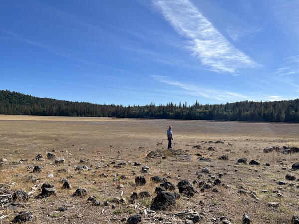
The cinder cone in the distance is Round Mountain, which is being actively quarried for road rock. Eruption episode 4 is the most recent in the Clear Lake Volcanic Field, and is characterized primarily by lava flows, cinder cones (like the one pictured), and maar deposits.
The cinder cone in the distance is Round Mountain, which is being actively quarried for road rock. Eruption episode 4 is the most recent in the Clear Lake Volcanic Field, and is characterized primarily by lava flows, cinder cones (like the one pictured), and maar deposits.
Eruption Episode 2 rocks, Clear Lake Volcanic Field, California
Eruption episode 2 rocks are higher in silica than those characterizing Episode 1, and instead of being primarily lava flows that filled existing valleys, Episode 2 rocks commonly erupted as volcanic domes. Cobb Mountain erupted during this episode, as did Boggs Mountain.
Eruption episode 2 rocks are higher in silica than those characterizing Episode 1, and instead of being primarily lava flows that filled existing valleys, Episode 2 rocks commonly erupted as volcanic domes. Cobb Mountain erupted during this episode, as did Boggs Mountain.

Mount Konocti lava dome complex, Clear Lake Volcanic Field, California
This view of Mt. Konocti from within the Clearlake Riviera neighborhood shows the topographic outline of the many discrete volcanic domes that comprise the mountain. Volcanic domes ooze from the ground to form steep-sided domes which can coalesce, forming mountains with multiple peaks. Mt.
This view of Mt. Konocti from within the Clearlake Riviera neighborhood shows the topographic outline of the many discrete volcanic domes that comprise the mountain. Volcanic domes ooze from the ground to form steep-sided domes which can coalesce, forming mountains with multiple peaks. Mt.

Maar eruption deposit, Clear Lake Volcanic Field, California
The layered deposits shown in this picture were created by a maar eruption, when magma and volcanic gasses interact with groundwater to create an explosive eruption. Maar eruptions like these commonly generate craters, some of which can be seen along the western shore of Clear Lake. Soda Bay, near where this photo was taken, is a maar crater.
The layered deposits shown in this picture were created by a maar eruption, when magma and volcanic gasses interact with groundwater to create an explosive eruption. Maar eruptions like these commonly generate craters, some of which can be seen along the western shore of Clear Lake. Soda Bay, near where this photo was taken, is a maar crater.