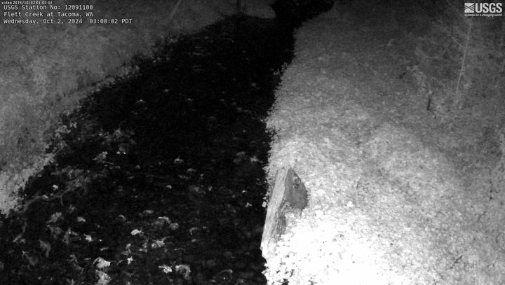
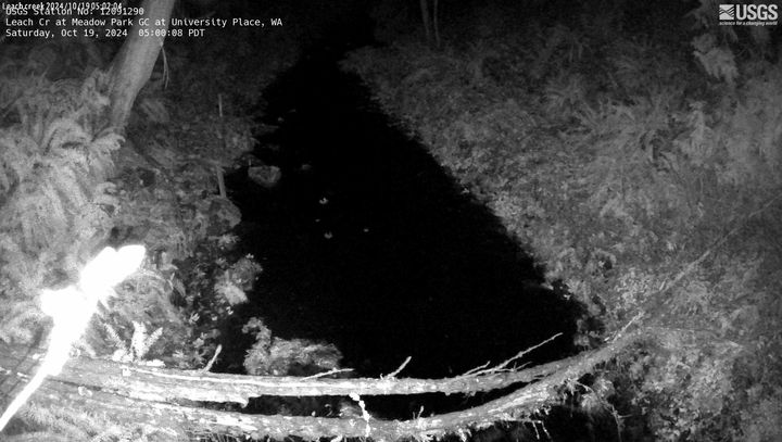
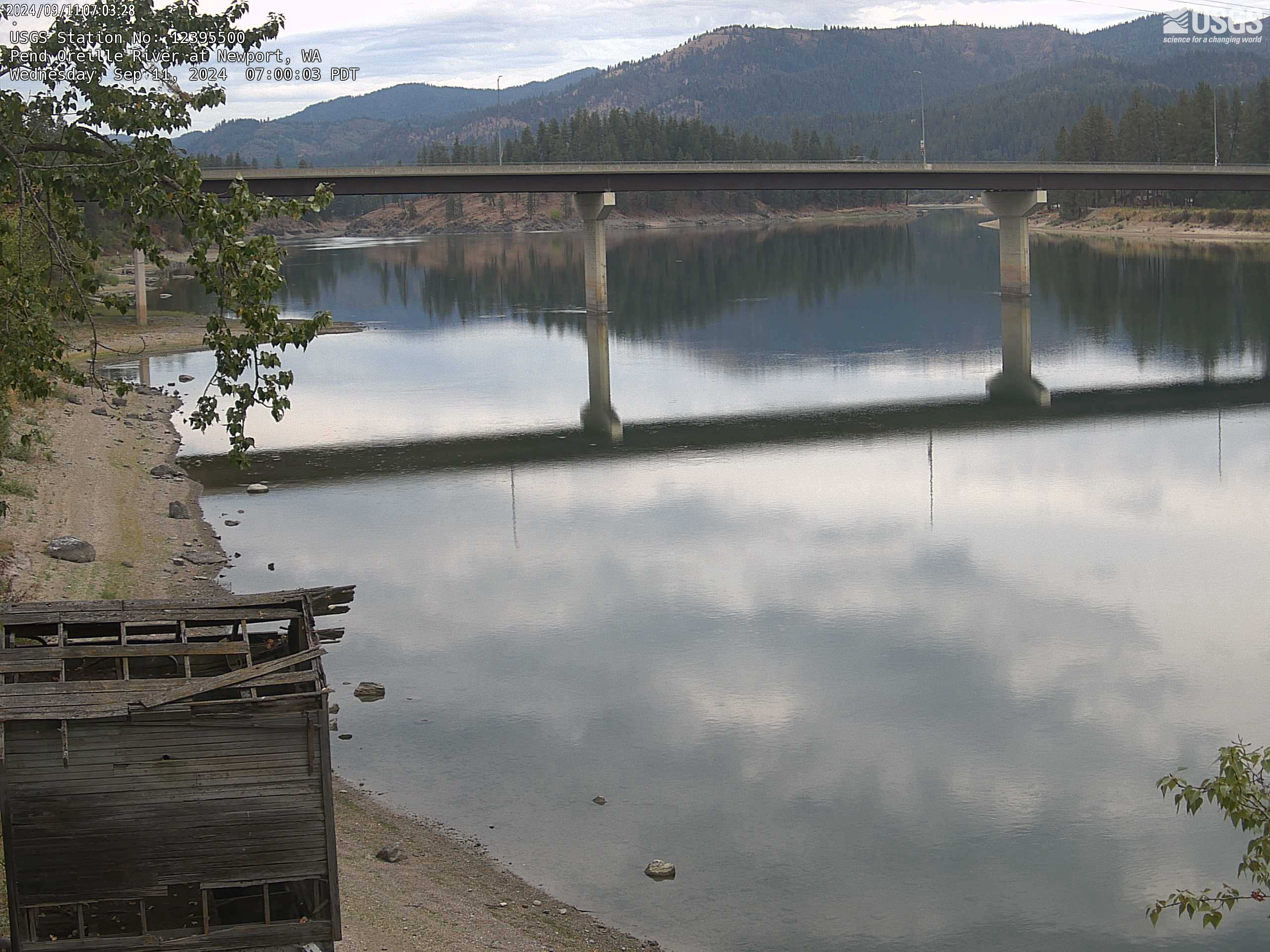
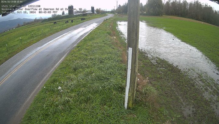
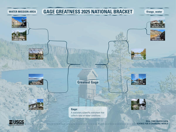
U.S. flag

An official website of the United States government

Multimedia

Explore our multimedia below. You can filter and search by clicking "View All". 

Images

A gravel bar is exposed next to a river
Gravel bar, Cedar River, WA

A gravel bar is exposed next to the Cedar River, WA. Bull trout spawn in this river and their egg nests require suitable habitat and water quality to thrive.

A gravel bar is exposed next to the Cedar River, WA. Bull trout spawn in this river and their egg nests require suitable habitat and water quality to thrive.

Technician stands waist-deep in cobble-bedded stream.
Cedar River, WA streamflow measurement

A USGS hydrologic technician measures streamflow in the Cedar River, WA as part of a series of bathymetric, hydrometric, and sediment surveys in this area. The surveys will be used to understand the potential impacts of reservoir operations on bull trout spawning habitat in the Cedar River.

A USGS hydrologic technician measures streamflow in the Cedar River, WA as part of a series of bathymetric, hydrometric, and sediment surveys in this area. The surveys will be used to understand the potential impacts of reservoir operations on bull trout spawning habitat in the Cedar River.

Large river channel with grassy banks and forested hill
Quillayute River
Quillayute River
Quillayute River

The Quillayute River drains the Olympic Mountains in Washington State. The river and its tributaries provide habitat for several salmon species.

The Quillayute River drains the Olympic Mountains in Washington State. The river and its tributaries provide habitat for several salmon species.

River runs through forest. Flowers grow on boulder in river.
South Fork Tolt River, WA

Water flows around boulders and large wood in the South Fork Tolt River, WA.

Access water data: South Fork Tolt River Near Carnation, WA

Water flows around boulders and large wood in the South Fork Tolt River, WA.

Access water data: South Fork Tolt River Near Carnation, WA

A technician is suspended above a river by cableway. In the foreground, scientific equipment lays on the snow.
Measuring streamflow in the Pend Oreille River, WA

A hydrologic technician uses a cableway to measure streamflow in the Pend Oreille River on a winter day. On-shore, a computer shows streamflow data in real-time, allowing the team to monitor their progress.

A hydrologic technician uses a cableway to measure streamflow in the Pend Oreille River on a winter day. On-shore, a computer shows streamflow data in real-time, allowing the team to monitor their progress.

Videos

What Does a USGS Hydrologic Technician Do

What do USGS Hydrologic Technicians do on the job? This video features five different Hydrologic Technicians from Washington Water Science Center and Nevada Water Science Center sharing some of their work. This video was sponsored by the USGS Hydrologic Data Advisory Committee.
 

What do USGS Hydrologic Technicians do on the job? This video features five different Hydrologic Technicians from Washington Water Science Center and Nevada Water Science Center sharing some of their work. This video was sponsored by the USGS Hydrologic Data Advisory Committee.
 

Using a Continuous Flow Centrifuge to Collect Suspended Sediment

Kathy Conn, a U.S. Geological Survey Water Quality Specialist, demonstrates a new USGS field method using a continuous flow centrifuge to collect suspended sediment from large volumes of water in the Duwamish River near Seattle Washington.
 

Kathy Conn, a U.S. Geological Survey Water Quality Specialist, demonstrates a new USGS field method using a continuous flow centrifuge to collect suspended sediment from large volumes of water in the Duwamish River near Seattle Washington.
 

White Salmon River Riverine Dune Formation/Destruction

Following the Condit Dam removal, a significant amount of bedload sediment was transported downstream. As the material moved along the river bottom, dunes began to form then collapse. This dune formation is seen through the waveform action as the stream's normal laminar flow is replaced by whitecap wave forms before returning, once again, to laminar flow.

Following the Condit Dam removal, a significant amount of bedload sediment was transported downstream. As the material moved along the river bottom, dunes began to form then collapse. This dune formation is seen through the waveform action as the stream's normal laminar flow is replaced by whitecap wave forms before returning, once again, to laminar flow.

Webcams

Web camera image from Flett Creek, a small semi-forested creek
Flett Creek at Tacoma, WA

This webcam is located at USGS streamgage Flett Creek at Tacoma, WA - 12091100. Near real-time flow and water temperature data are available at this location. Water data back to 1989 are available online.

This webcam is located at USGS streamgage Flett Creek at Tacoma, WA - 12091100. Near real-time flow and water temperature data are available at this location. Water data back to 1989 are available online.

Web camera image from Leach Creek, a small forested creek
Leach CR at Meadow Park GC at University Place, WA

This webcam is located at USGS streamgage Leach CR at Meadow Park GC at University Place, WA - 12091290. Near real-time flow data are seasonally available at this location. Water data back to 2005 are available online.

This webcam is located at USGS streamgage Leach CR at Meadow Park GC at University Place, WA - 12091290. Near real-time flow data are seasonally available at this location. Water data back to 2005 are available online.

latest image. Camera faces bridge over the Pend Oreille River at Newport, WA and shows the river and shoreline.
Pend Oreille River at Newport, WA

This webcam is located at USGS streamgage Pend Oreille River at Newport WA - 12395500. Near real-time water data are available at this location. 

This webcam is located at USGS streamgage Pend Oreille River at Newport WA - 12395500. Near real-time water data are available at this location. 

Most recent camera image
Nooksack River Overflow at Emerson Road at Everson, WA

Nooksack River Overflow at Emerson Road at Everson, WA. Check out this webcam to see the latest river conditions.

Nooksack River Overflow at Emerson Road at Everson, WA. Check out this webcam to see the latest river conditions.

Most recent camera image
Okanogan River at Zosel Millpond at Oroville

This webcam is located at USGS streamgage 12439500 - Okanogan River at Oroville, WA. Near real-time flow and water temperature data are available at this location. Water data back to 1914 are available online.

This webcam is located at USGS streamgage 12439500 - Okanogan River at Oroville, WA. Near real-time flow and water temperature data are available at this location. Water data back to 1914 are available online.

Most recent camera image
Columbia River at Vancouver

This webcam is located at USGS streamgage 14144700 - Columbia River at Vancouver, WA. The Columbia River is tidally influenced at this location and the station provides continuous monitoring of river flow and suspended sediment.

This webcam is located at USGS streamgage 14144700 - Columbia River at Vancouver, WA. The Columbia River is tidally influenced at this location and the station provides continuous monitoring of river flow and suspended sediment.

Was this page helpful?