
News
Browse through a list of USGS newsletters that cover news, topics, and related activities from the Natural Hazards Mission Area Programs and across the bureau.
NHMA Newsletter and Subscribe
NHMA Newsletter and Subscribe
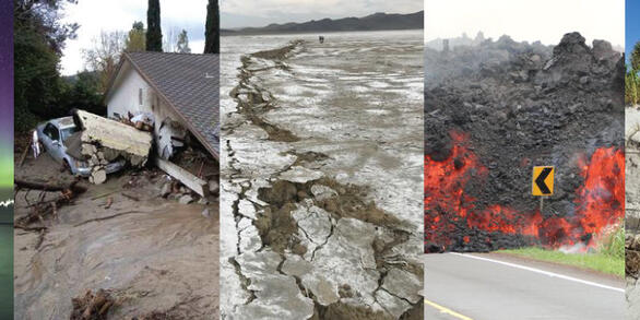
News and activities from across the Natural Hazards Mission Area.
Newsletters from across NHMA
Newsletters from across NHMA
Check out the various newsletters from across the Natual Hazards Mission Area