
This static image is from a USGS Cascades Volcano Observatory research camera located at the Johnston Ridge Observatory, north of Mount St. Helens. The view is to the south. This camera is intended to assist the USGS with situational awareness. At times, clouds, rain, and snow obscure visibility.
Webcams
Volcano Hazard Program webcams.
Filter Total Items: 37
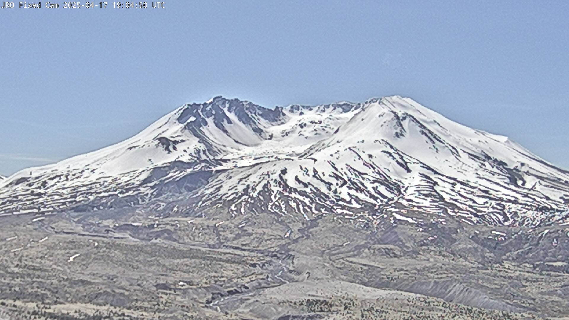
Johnston Ridge Observatory, Mount St. Helens
This static image is from a USGS Cascades Volcano Observatory research camera located at the Johnston Ridge Observatory, north of Mount St. Helens. The view is to the south. This camera is intended to assist the USGS with situational awareness. At times, clouds, rain, and snow obscure visibility.

[HLcam] Live Image of Mauna Loa's northwest flank from Hualālai volcano
Live view of the northwest flank of Mauna Loa; the view is from the southeast flank of Hualālai [HLcam]. This camera is a pan-tilt-zoom model and the view may change depending on activity.
Live view of the northwest flank of Mauna Loa; the view is from the southeast flank of Hualālai [HLcam]. This camera is a pan-tilt-zoom model and the view may change depending on activity.
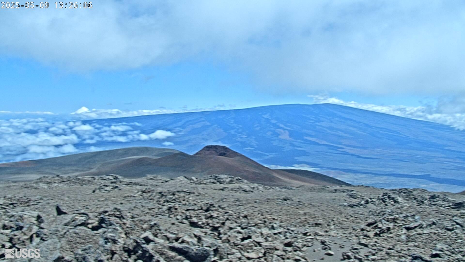
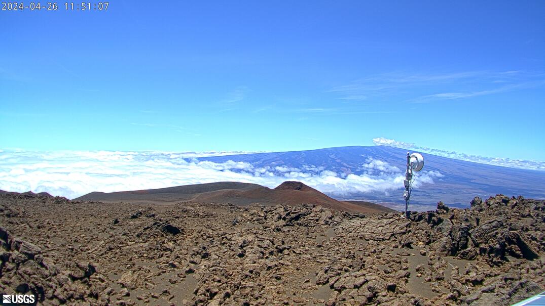
[MK2cam] Mauna Loa's Summit and Northeast Rift Zone from Mauna Kea
Live Image of Mauna Loa's Summit and Northeast Rift Zone from Mauna Kea [MK2cam]. This camera is a pan-tilt-zoom model and the view may change depending on activity.
Live Image of Mauna Loa's Summit and Northeast Rift Zone from Mauna Kea [MK2cam]. This camera is a pan-tilt-zoom model and the view may change depending on activity.

[V1cam] Kīlauea volcano, Hawaii (west Halemaʻumaʻu crater)
Live view of Halemaʻumaʻu crater within Kaluapele (Kīlauea caldera), from the northwest rim of the crater [V1cam]. This camera is a pan-tilt-zoom model and the view may change depending on activity.
Disclaimer
Live view of Halemaʻumaʻu crater within Kaluapele (Kīlauea caldera), from the northwest rim of the crater [V1cam]. This camera is a pan-tilt-zoom model and the view may change depending on activity.
Disclaimer
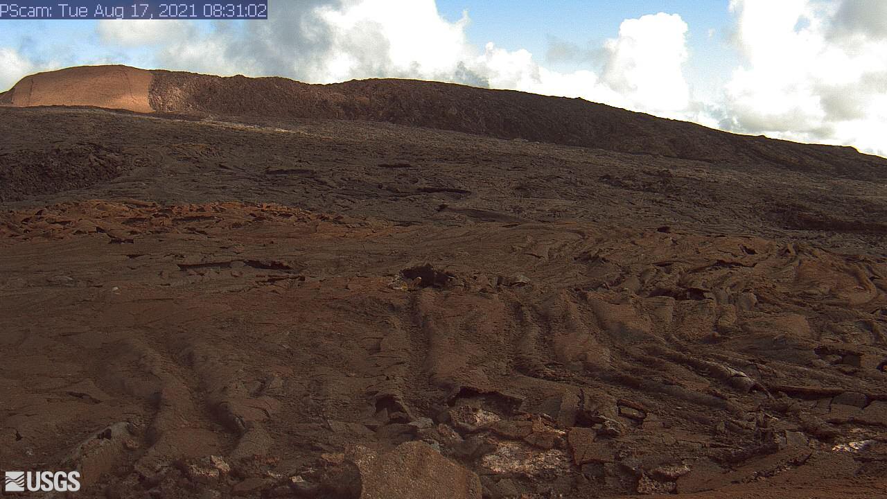
[PScam] Puʻu ʻŌʻō South Flank from the South Rim
This image is from a temporary research camera positioned just south of Puʻu ʻŌʻō, looking north at the southern flank of Puʻu ʻŌʻō's cone.
Disclaimer
This image is from a temporary research camera positioned just south of Puʻu ʻŌʻō, looking north at the southern flank of Puʻu ʻŌʻō's cone.
Disclaimer
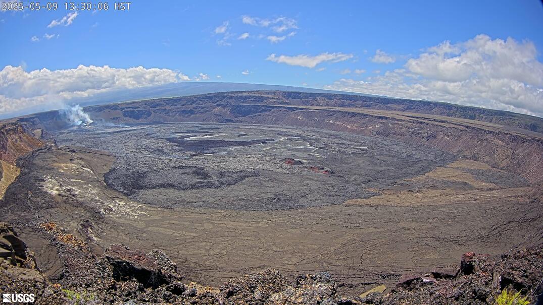
[B1cam] - Kīlauea caldera down-dropped block and Halemaʻumaʻu
Live view of Kīlauea caldera down-dropped block and Halemaʻumaʻu crater from the east rim of the caldera.
Live view of Kīlauea caldera down-dropped block and Halemaʻumaʻu crater from the east rim of the caldera.
[MKcam]: Mauna Loa's Summit and Northeast Rift Zone from Mauna Kea
Live Image of Mauna Loa's Summit and Northeast Rift Zone from Mauna Kea [MKcam].
Live Image of Mauna Loa's Summit and Northeast Rift Zone from Mauna Kea [MKcam].
[S1cam] - Live view of the upper Southwest Rift Zone of Kīlauea, view is to the south
Live view of the upper Southwest Rift Zone of Kīlauea, view is to the south - temporary webcam image [S1cam].
Live view of the upper Southwest Rift Zone of Kīlauea, view is to the south - temporary webcam image [S1cam].
[KPcam] - Kīlauea Summit from Mauna Loa Strip Road
View from Mauna Loa Strip Road looking at the Kīlauea summit to document volcanic eruption plumes.
Disclaimer
View from Mauna Loa Strip Road looking at the Kīlauea summit to document volcanic eruption plumes.
Disclaimer
[MUcam] - Mauna Ulu Cam
This image is from a temporary research camera located on Mauna Ulu, looking northeast.
This image is from a temporary research camera located on Mauna Ulu, looking northeast.

Old Faithful Live-streaming
View of the Old Faithful geyser live-streaming webcam provided by the National Park Service.
View of the Old Faithful geyser live-streaming webcam provided by the National Park Service.
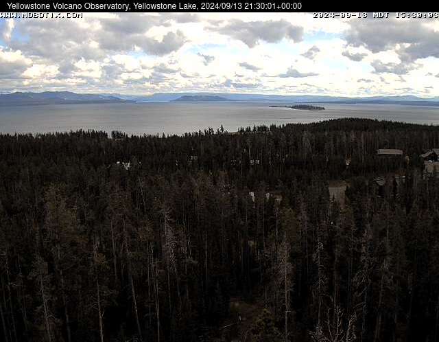
Webcam at Yellowstone Lake
The camera view is south-southeast over Yellowstone Lake from the cell phone tower near Fishing Bridge. Stevenson Island is visible within the lake on the right. The view extends down the Southeast Arm between the Promontory (low ridge rising from the lake) and the eastern shore.
The camera view is south-southeast over Yellowstone Lake from the cell phone tower near Fishing Bridge. Stevenson Island is visible within the lake on the right. The view extends down the Southeast Arm between the Promontory (low ridge rising from the lake) and the eastern shore.
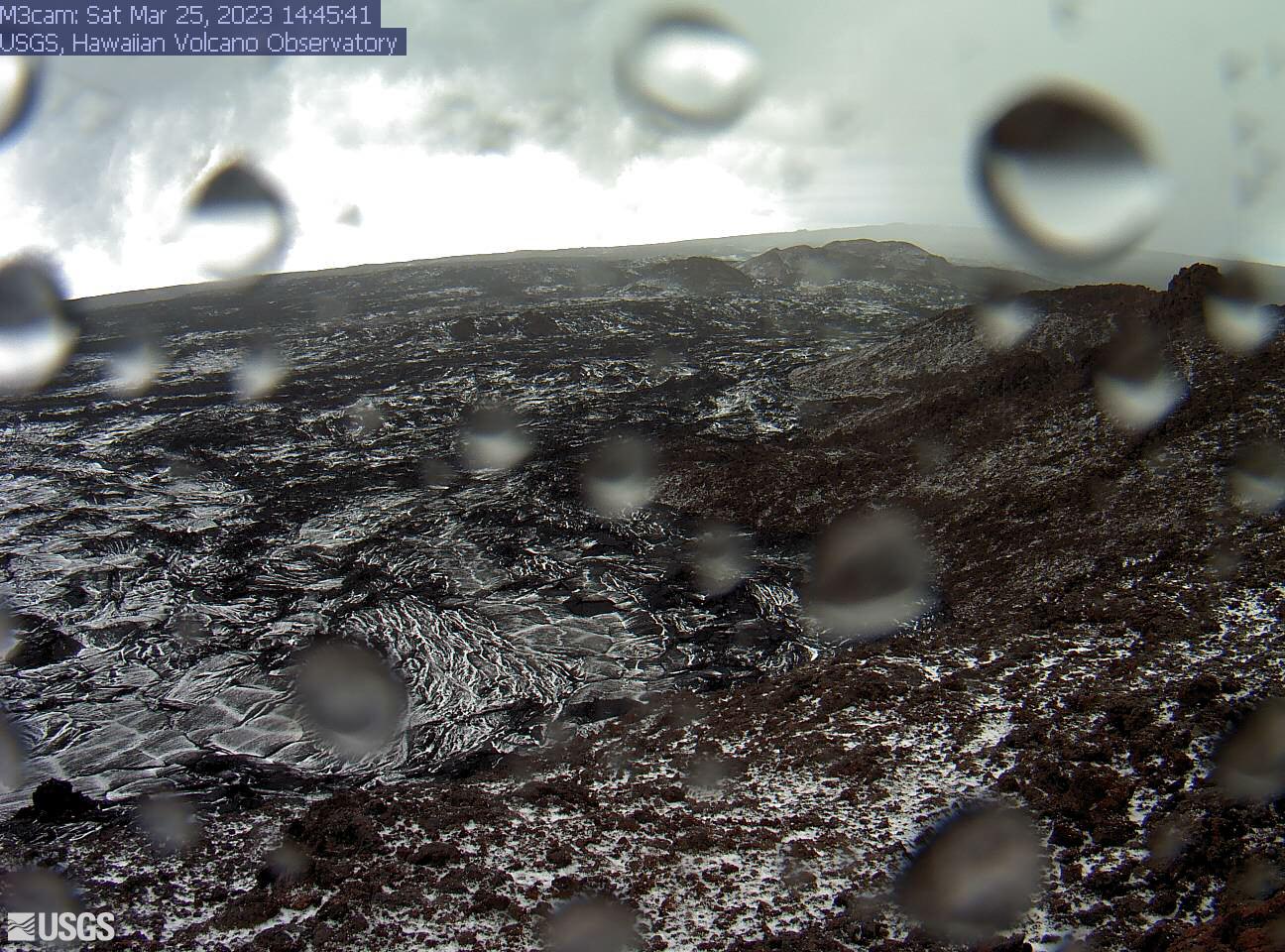
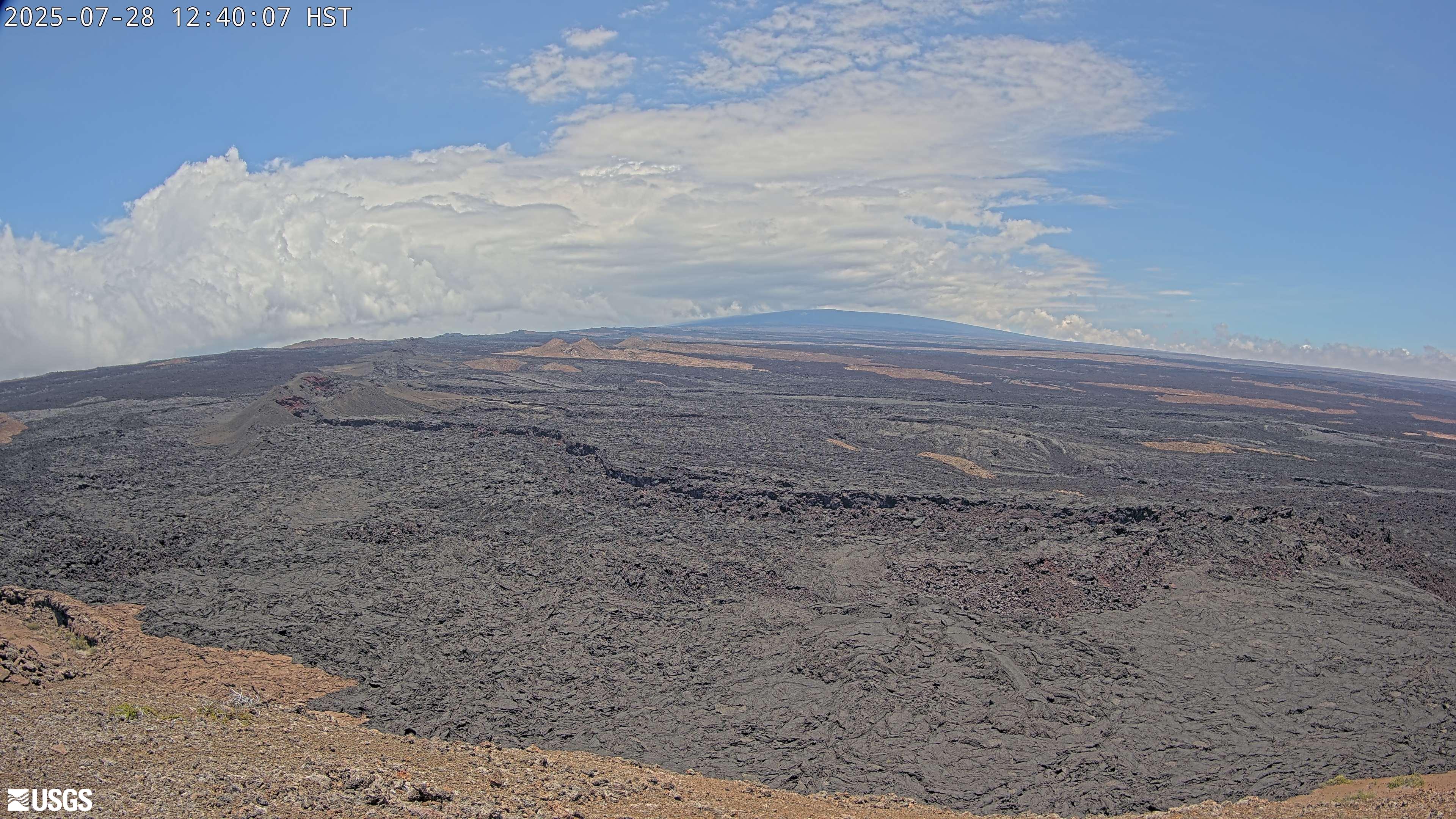
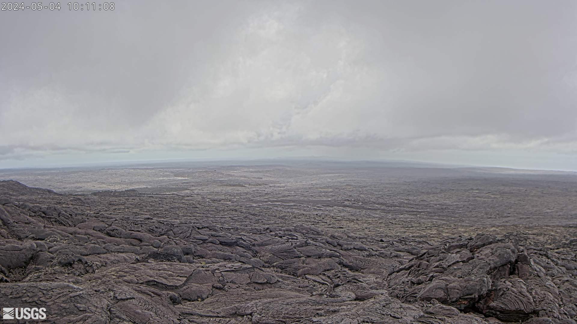
[M3cam] The Upper Part of Mauna Loa's Southwest Rift Zone
This image is from a research camera positioned on a cone in Mauna Loa's Southwest Rift Zone in Hawaiʻi Volcanoes National Park. The camera looks northeast (upslope), focusing on the upper part of the Southwest Rift Zone. The upper flank of Mauna Loa forms the skyline.
Disclaimer
This image is from a research camera positioned on a cone in Mauna Loa's Southwest Rift Zone in Hawaiʻi Volcanoes National Park. The camera looks northeast (upslope), focusing on the upper part of the Southwest Rift Zone. The upper flank of Mauna Loa forms the skyline.
Disclaimer
[M2cam] The Middle Part of Mauna Loa's Southwest Rift Zone
This image is from a research camera positioned on a cone in Mauna Loa's Southwest Rift Zone in Hawaiʻi Volcanoes National Park. The camera looks northeast (upslope), focusing on the middle part of the Southwest Rift Zone. The volcano's summit is at upper right.
Disclaimer
This image is from a research camera positioned on a cone in Mauna Loa's Southwest Rift Zone in Hawaiʻi Volcanoes National Park. The camera looks northeast (upslope), focusing on the middle part of the Southwest Rift Zone. The volcano's summit is at upper right.
Disclaimer

[HPcam] Lava Flow 61G from Holei Pali
This image is from a research camera positioned on Holei Pali, looking east towards Lava Flow 61G and Kalapana.
Disclaimer
This image is from a research camera positioned on Holei Pali, looking east towards Lava Flow 61G and Kalapana.
Disclaimer
[MLcam] Mokuʻāweoweo Caldera from the Northwest Rim
This image is from a research camera positioned on the north rim of Mokuʻāweoweo, the summit caldera of Mauna Loa volcano by the USGS Hawaiian Volcano Observatory. If you look carefully around early morning or late evening, you may see a few thermal areas emitting steam. See 'Current Activity' for the latest Mauna Loa information.
This image is from a research camera positioned on the north rim of Mokuʻāweoweo, the summit caldera of Mauna Loa volcano by the USGS Hawaiian Volcano Observatory. If you look carefully around early morning or late evening, you may see a few thermal areas emitting steam. See 'Current Activity' for the latest Mauna Loa information.
[PGcam] Lower East Rift Zone Camera from Lower East Rift Zone
This image is from atop Puʻu Honuaula looking southwest towards Leilani Estates. Fissure 22 is on the far left, and Puʻu Kaliu is the cone left of center on the skyline. The fissure 8 channel wraps from the center of the image to the lower right side of the image.
Disclaimer
This image is from atop Puʻu Honuaula looking southwest towards Leilani Estates. Fissure 22 is on the far left, and Puʻu Kaliu is the cone left of center on the skyline. The fissure 8 channel wraps from the center of the image to the lower right side of the image.
Disclaimer
[R3cam] Mobile Cam 3
This image is from a research camera positioned on the southeast flank of Puʻu ʻŌʻō, looking toward the southeast.
This image is from a research camera positioned on the southeast flank of Puʻu ʻŌʻō, looking toward the southeast.
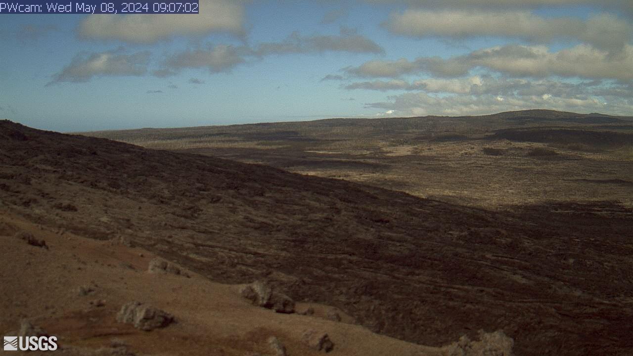
[PWcam] Puʻu ʻŌʻō West Flank from Puʻu ʻŌʻō
This image is from a research camera positioned on the northwest flank of Puʻu ʻŌʻō, looking southwest. On the morning of May 24, 2016, this camera was rotated to be pointed northeast to follow a new breakout on the east flank of Puʻu ʻŌʻō.
Disclaimer
This image is from a research camera positioned on the northwest flank of Puʻu ʻŌʻō, looking southwest. On the morning of May 24, 2016, this camera was rotated to be pointed northeast to follow a new breakout on the east flank of Puʻu ʻŌʻō.
Disclaimer
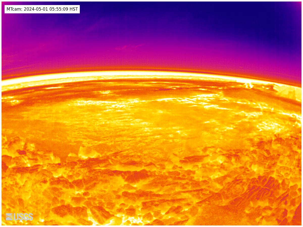
[MTcam] Mokuʻāweoweo Caldera Thermal from the Northwest Rim
This image is from a thermal camera located on the north rim of Mauna Loa's summit caldera. The camera was upgraded on November 8, 2023. Thermal webcams record in Centigrade, conversions to Fahrenheit are provided here for your convenience: 20°C=68°F, 40°C=104°F, 60°C=140°F, 80°C=176°F.
Disclaimer
This image is from a thermal camera located on the north rim of Mauna Loa's summit caldera. The camera was upgraded on November 8, 2023. Thermal webcams record in Centigrade, conversions to Fahrenheit are provided here for your convenience: 20°C=68°F, 40°C=104°F, 60°C=140°F, 80°C=176°F.
Disclaimer
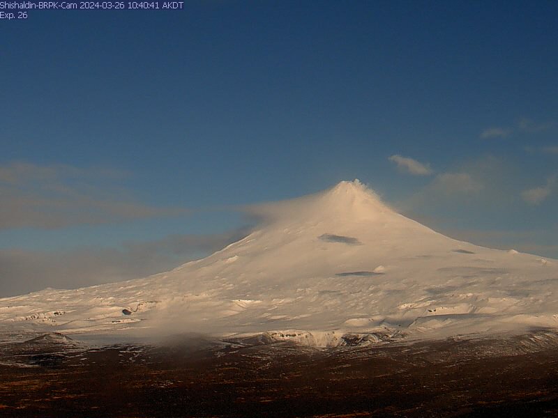
Shishaldin Volcano BRPK
View from the webcam located at Shishaldin Volcano, hosted by AVO. Read more details about Shishaldin Volcano.
View from the webcam located at Shishaldin Volcano, hosted by AVO. Read more details about Shishaldin Volcano.