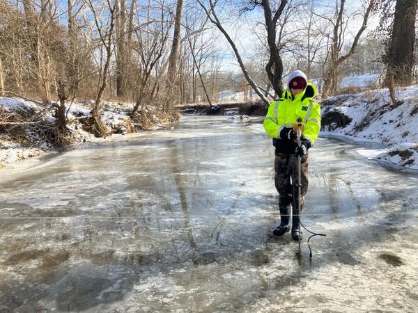
Rustin Pare, Technician, uses a chainsaw to acquire ice measurements with Jacob Mavrogeorge on the Monocacy River in Fredrick, Maryland
linkRustin Pare, Technician, uses a chainsaw to acquire ice measurements with Jacob Mavrogeorge on the Monocacy River in Fredrick, Maryland.
Winter 2025 Photo Contest Winner: Neel Hodgkinson, USGS at Work category