
Research Hydrologist Emeritus Denis LeBlanc teaches the Gulf of Maine Council about Cape Cod hydrology in front of Ashumet Pond in Falmouth, Massachusetts.
Multimedia
Images

Denis LeBlanc Presents Groundwater Research at Ashumet Pond
Research Hydrologist Emeritus Denis LeBlanc teaches the Gulf of Maine Council about Cape Cod hydrology in front of Ashumet Pond in Falmouth, Massachusetts.

Cape Cod Field Trip
Research Hydrologist Emeritus Denis LeBlanc speaks to visitors about the groundwater and surface water interactions on Cape Cod.
Research Hydrologist Emeritus Denis LeBlanc speaks to visitors about the groundwater and surface water interactions on Cape Cod.

USGS Hydrologist Paul Barlow Retirement from New England Water Science Center
USGS Hydrologist Paul Barlow, who served as the Chief of the Hydrologic Interpretive Branch of the New England Water Science Center, retired at the end of May 2024. Director John Bumgarner presented Paul with a plaque at his retirement gathering at the center.
USGS Hydrologist Paul Barlow, who served as the Chief of the Hydrologic Interpretive Branch of the New England Water Science Center, retired at the end of May 2024. Director John Bumgarner presented Paul with a plaque at his retirement gathering at the center.

Hydrologic Technician Kim Campo deploys a buoy at Fresh Pond in Cambridge, MA with sensors to monitor water temperature, wind speed/direction, and blue-green algae
linkHydrologic Technician Kim Campo deploys a buoy at Fresh Pond in Cambridge, MA with sensors to monitor water temperature, wind speed/direction, and blue-green algae. Nearby continuous water quality monitoring station is 422302071083801.
Spring 2024 Photo Contest Winner: Meghan Santos, Where We Work category

Streamgage at the Elizabeth Mine Site in Stratford, Vermont
Elizabeth Mine was added to the U.S. Environmental Protection Agency (EPA) Superfund Program’s National Priority List in 2001. Since then, EPA and USGS have cooperated to investigate the nature and extent of contamination from weathering of waste rock rich in metals and sulfides.
Elizabeth Mine was added to the U.S. Environmental Protection Agency (EPA) Superfund Program’s National Priority List in 2001. Since then, EPA and USGS have cooperated to investigate the nature and extent of contamination from weathering of waste rock rich in metals and sulfides.

Elizabeth Mine, an Abandoned Copper Mine in Vermont
Elizabeth Mine was a copper mine in Strafford, Vermont, that was abandoned in 1957. It was added to the U.S. Environmental Protection Agency (EPA) Superfund Program’s National Priority List in 2001. Since then, EPA and USGS have cooperated to investigate the nature and extent of contamination from weathering of waste rock rich in metals and sulfides.
Elizabeth Mine was a copper mine in Strafford, Vermont, that was abandoned in 1957. It was added to the U.S. Environmental Protection Agency (EPA) Superfund Program’s National Priority List in 2001. Since then, EPA and USGS have cooperated to investigate the nature and extent of contamination from weathering of waste rock rich in metals and sulfides.
Videos
40 Years Presenting Cape Cod Hydrology
USGS has studied the hydrology of Cape Cod and the Islands and demonstrated our science to the public for more than four decades. Many visitor groups from government agencies, universities, nonprofit organizations, and local communities have learned about our groundwater and surface water research in southeastern Massachusetts.
USGS has studied the hydrology of Cape Cod and the Islands and demonstrated our science to the public for more than four decades. Many visitor groups from government agencies, universities, nonprofit organizations, and local communities have learned about our groundwater and surface water research in southeastern Massachusetts.

USGS New England Water Science Center
This video is an overview of the USGS New England Water Science Center's research and monitoring efforts to support the water issue needs of New England and the Nation.
This video is an overview of the USGS New England Water Science Center's research and monitoring efforts to support the water issue needs of New England and the Nation.

The USGS Northeast Region: Delivering Science for Better Decisions
This video is an introduction of the USGS Northeast Region's science efforts to support society's evolving needs through its engaged and diverse workforce.
This video is an introduction of the USGS Northeast Region's science efforts to support society's evolving needs through its engaged and diverse workforce.

Kennebec River
B-roll video of flooding in Augusta, Maine from monitoring location camera on the Kennebec River.
B-roll video of flooding in Augusta, Maine from monitoring location camera on the Kennebec River.

Hot Stream, Cold Stream – Measuring the impact of Groundwater on Stream Temperature
Groundwater that drains to surface water through seeps and springs is generally referred to as “discharge.” Groundwater discharge is a primary component of stream base flow, or streamflow that occurs between storms, periods of snowmelt runoff, and periods of quick soil drainage.
Groundwater that drains to surface water through seeps and springs is generally referred to as “discharge.” Groundwater discharge is a primary component of stream base flow, or streamflow that occurs between storms, periods of snowmelt runoff, and periods of quick soil drainage.
")
Hot Stream, Cold Stream – Measuring the impact of Groundwater on Stream Temperature (AD)
Groundwater that drains to surface water through seeps and springs is generally referred to as “discharge.” Groundwater discharge is a primary component of stream base flow, or streamflow that occurs between storms, periods of snowmelt runoff, and periods of quick soil drainage.
Groundwater that drains to surface water through seeps and springs is generally referred to as “discharge.” Groundwater discharge is a primary component of stream base flow, or streamflow that occurs between storms, periods of snowmelt runoff, and periods of quick soil drainage.
Webcams
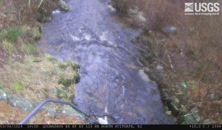
Quonopaug Brook at Rt 116 near North Scituate, Rhode Island
Quonopaug Brook at Rt 116 near North Scituate, Rhode Island. Monitoring location 01115183 is a tributary to the Scituate Reservoir in Providence County, Rhode Island. Current conditions of discharge and gage height are available.
Quonopaug Brook at Rt 116 near North Scituate, Rhode Island. Monitoring location 01115183 is a tributary to the Scituate Reservoir in Providence County, Rhode Island. Current conditions of discharge and gage height are available.

MA-HWY-I95S-HMA-Station 00567 Needham, Massachusetts
MA-HWY-I95S-HMA-STATION 00567 Needham, MA. The highway monitoring station 421650071120401 is located along Interstate 95 in Norfolk County, Massachusetts.
MA-HWY-I95S-HMA-STATION 00567 Needham, MA. The highway monitoring station 421650071120401 is located along Interstate 95 in Norfolk County, Massachusetts.

MA HWY I95S OGFC Station 00568 Needham, Massachusetts
MA-HWY-I95S-OGFC-STATION 00568 Needham, MA. The highway monitoring station 421652071120601 is located along Interstate 95 in Norfolk County, Massachusetts.
MA-HWY-I95S-OGFC-STATION 00568 Needham, MA. The highway monitoring station 421652071120601 is located along Interstate 95 in Norfolk County, Massachusetts.
West Brook near Whately, Massachusetts (01171100)
West Brook near Whately, Massachusetts. Monitoring location 01171100 is associated with a stream in Franklin County, Massachusetts. Current conditions of discharge and gage height are available. Water data back to 2019 are available online.
West Brook near Whately, Massachusetts. Monitoring location 01171100 is associated with a stream in Franklin County, Massachusetts. Current conditions of discharge and gage height are available. Water data back to 2019 are available online.
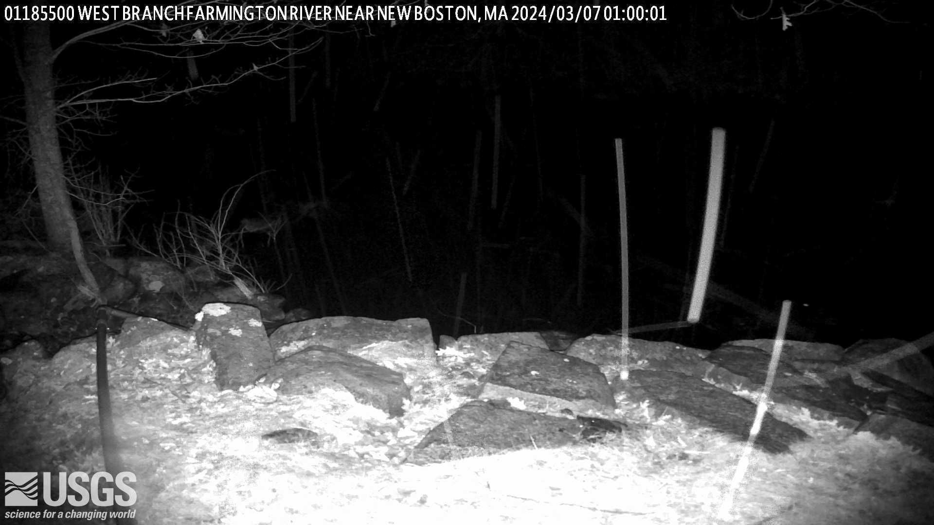
West Branch Farmington River near New Boston, Massachusetts (01185500)
West Branch Farmington River near New Boston, Massachusetts. Monitoring location 01185500 is associated with a stream in Berkshire County, Massachusetts. Current conditions of discharge and gage height are available.
West Branch Farmington River near New Boston, Massachusetts. Monitoring location 01185500 is associated with a stream in Berkshire County, Massachusetts. Current conditions of discharge and gage height are available.
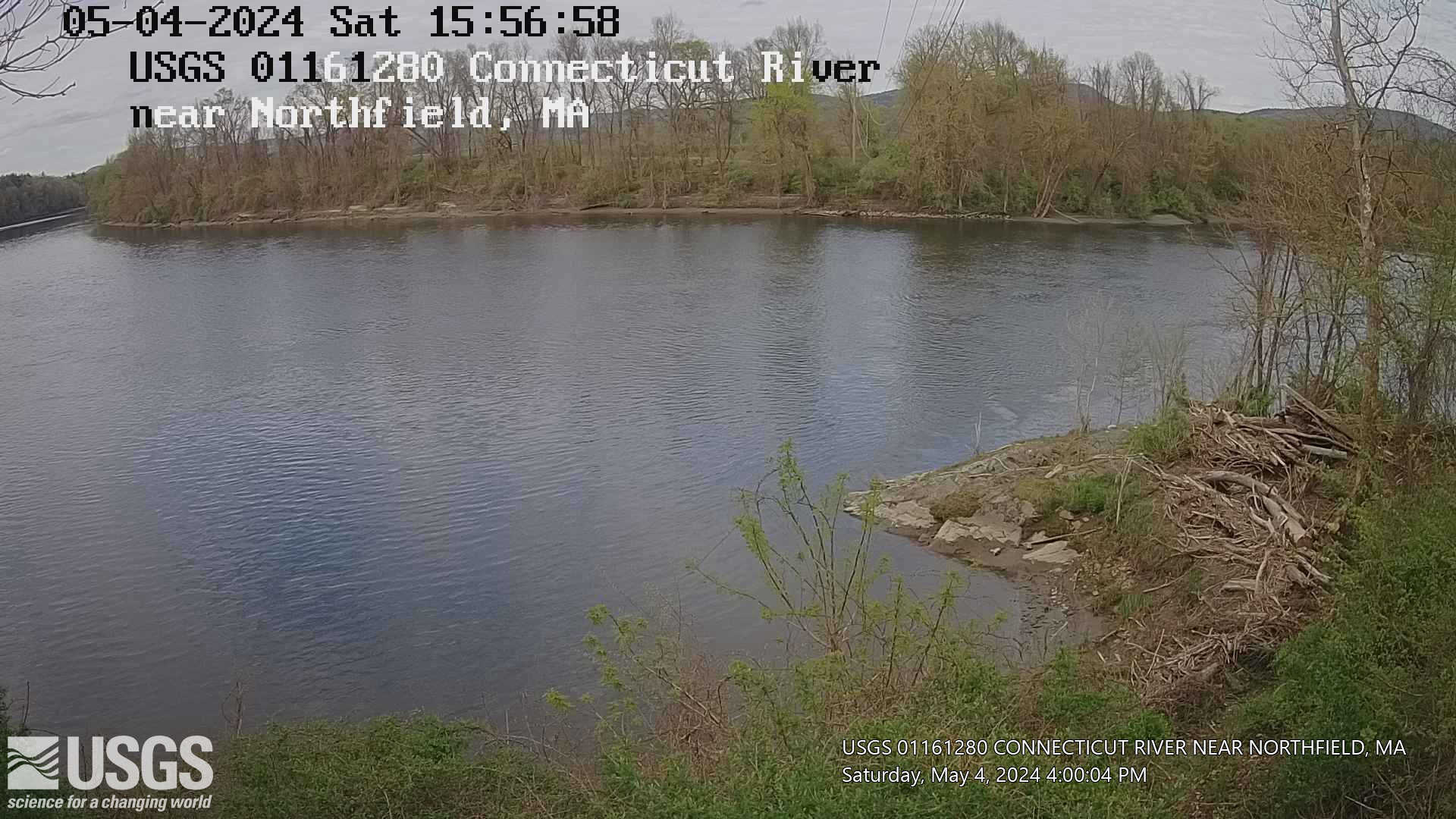
Connecticut River near Northfield, Massachusetts (01161280)
Connecticut River near Northfield, Massachusetts. Monitoring location 01161280 is associated with a stream in Franklin County, Massachusetts. Current conditions of gage height, mean water velocity for discharge computation, and nitrate plus nitrite are available.
Connecticut River near Northfield, Massachusetts. Monitoring location 01161280 is associated with a stream in Franklin County, Massachusetts. Current conditions of gage height, mean water velocity for discharge computation, and nitrate plus nitrite are available.