
WebDART: A Cutting-edge Web Tool that Evaluates Land Condition
A new and improved tool improves our ability to assess land after disturbance or treatments such as wildfire or reclamation
WebDART is an online ecological assessment tool available to a wide audience that incorporates Landsat satellite remote sensing imagery, topography, geology, soil conditions, and rangeland geospatial and vegetation mapping to compare altered terrain with an unspoiled area that has similar characteristics in the same region.
The tool gives resource managers, landowners, companies, and other stakeholders the ability to have a baseline reference and later analysis of the effectiveness of reclamation, or rehabilitation, on altered sites.
WebDART is a new and improved version of DART (Disturbance Automated Reference Toolset) developed by the U.S. Geological Survey to harness powerful datasets in order to understand the extent of land disturbances and effectiveness of management treatments.
Background and Importance
This new web application provides a user-friendly interface with which land managers and other interested parties can explore changes in vegetation cover and ecosystem productivity after management actions or events, such as restoration, reclamation, and wildfire, against “control” sites.
The information uses robust, cutting-edge tools and datasets to support assessment and interpretation of trends in plant cover, composition, and production.


WebDART has the ability to analyze an area’s properties against an undisturbed site of similar “ecological potential” to provide a reference plot.
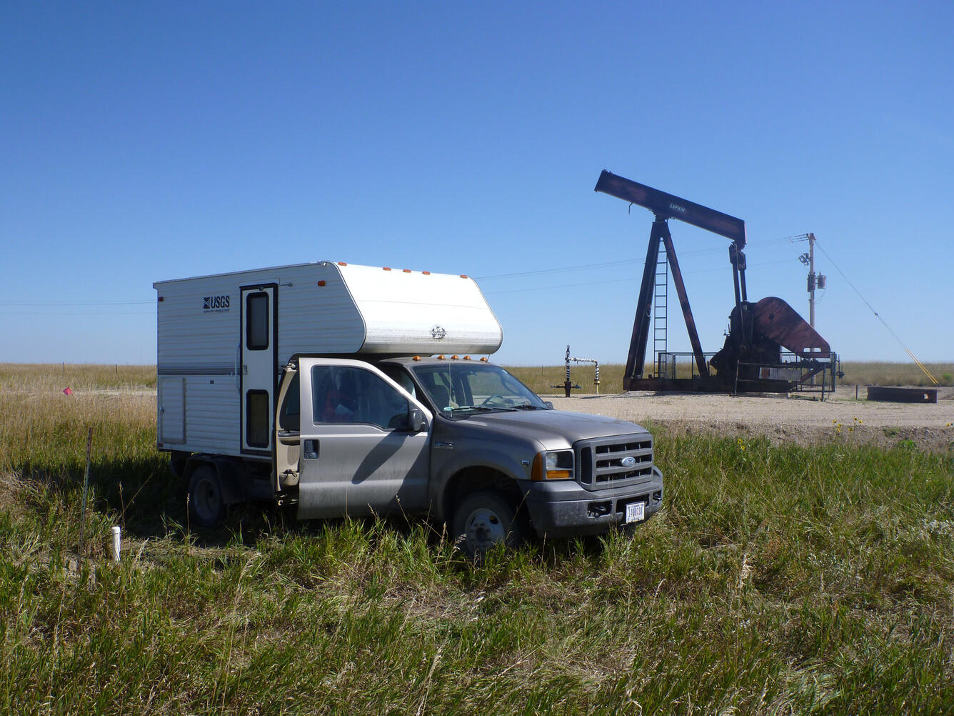
This tool can provide the same objective information for management agencies and private industry about the relative condition of a reclaimed site, for instance after energy development, restoration, or wildfire treatment. On-the-ground site analysis by experts is time-consuming and costly, especially over large landscapes. WebDART saves both time and money.


Land managers must have appropriate and relevant information to make land management decisions so that reclamation outcomes can be interpreted within the correct ecological context.
Developing metrics and monitoring of desired ecological functions for forage, wildlife landscape connectivity, or native vegetation before and after restoration can now be easily accomplished.


WebDART provides automated, critical, shareable online information which helps to define reclamation parameters, and reduces the need for on-site or in-person coordination between public and private landowners and industry, to conduct surveys.
Increased availability of continuous data for soil, topographic, and land cover characteristics has made it possible to retrieve data pertinent to ecological potential and selecting well-matched reference areas across the entire contiguous United States.
Users can employ WebDART’s data and graphs in management decision documents or for further analysis.


Past and Potential Applications of the Tool:
Some successful applications of WebDART include evaluation of vegetation recovery on plugged and abandoned well pads, removal of junipers to improve grazing, restoration of a landscape scarred by wildfire, or improvements to a disturbed site to promote desired plants and species.
Potential applications:
- Assessing reclamation outcomes, both for oil or gas well pads and for mined lands
- Effectiveness of revegetation and range improvement efforts
- Effectiveness of invasive plant control efforts
- Effects of changes to wildlife and livestock management on pastures or allotments

How WebDART works
WebDART uses soil variables from the US Department of Agriculture's National Cooperative Soil Survey SOLUS (Soil Landscapes of the United States) and topographic variables from SoilGrid100 and New Mexico State University to determine similarity between target and reference pixels using Gower's Distance function. (Also see SoilGrids250m 2.0)
Target pixels are compared to each reference pixel in the search area and the closest matches are chosen to use as a basis of comparison.
Pixels in the reference search area that contain open water, perennial ice or snow, roads, buildings, or industrial development, cropland, or pasture are automatically masked out prior to the matching procedure using the USGS National Land Cover Database 2021 Landcover layer. This maximizes the quality of the reference pixels by limiting development or disturbance unrelated to the event of interest.
After reference pixels have been identified by the tool, the user can select response variables from either the USGS Rangeland Condition Monitoring Assessment and Projection collection (RCMAP) or the USDA Rangeland Analysis Platform collections (RAP). (See Rangeland Analysis Platform for more information.)
RCMAP and RAP both provide yearly cover estimates of various plant functional groups, bare ground, and litter; additionally, RAP provides yearly and 16-day estimates of annual and perennial herbaceous biomass.
These response variables can be used to compare vegetation cover and biomass between target and reference pixels (Step 2) and, if the date of the land treatment or disturbance of interest is known, can be used to statistically model the effect of the disturbance or treatment intervention on the target pixels using the synthetic control method (Step 3). Synthetic control is a data-driven or statistical method to analyze the effect of treatments in comparative case studies.


Annual National Land Cover Database

Southwest Energy Exploration, Development, and Reclamation (SWEDR)

New Tools for Modern Land Management Decisions
WebDART is an online ecological assessment tool available to a wide audience that incorporates Landsat satellite remote sensing imagery, topography, geology, soil conditions, and rangeland geospatial and vegetation mapping to compare altered terrain with an unspoiled area that has similar characteristics in the same region.
The tool gives resource managers, landowners, companies, and other stakeholders the ability to have a baseline reference and later analysis of the effectiveness of reclamation, or rehabilitation, on altered sites.
WebDART is a new and improved version of DART (Disturbance Automated Reference Toolset) developed by the U.S. Geological Survey to harness powerful datasets in order to understand the extent of land disturbances and effectiveness of management treatments.
Background and Importance
This new web application provides a user-friendly interface with which land managers and other interested parties can explore changes in vegetation cover and ecosystem productivity after management actions or events, such as restoration, reclamation, and wildfire, against “control” sites.
The information uses robust, cutting-edge tools and datasets to support assessment and interpretation of trends in plant cover, composition, and production.
WebDART has the ability to analyze an area’s properties against an undisturbed site of similar “ecological potential” to provide a reference plot.
This tool can provide the same objective information for management agencies and private industry about the relative condition of a reclaimed site, for instance after energy development, restoration, or wildfire treatment. On-the-ground site analysis by experts is time-consuming and costly, especially over large landscapes. WebDART saves both time and money.
Land managers must have appropriate and relevant information to make land management decisions so that reclamation outcomes can be interpreted within the correct ecological context.
Developing metrics and monitoring of desired ecological functions for forage, wildlife landscape connectivity, or native vegetation before and after restoration can now be easily accomplished.
WebDART provides automated, critical, shareable online information which helps to define reclamation parameters, and reduces the need for on-site or in-person coordination between public and private landowners and industry, to conduct surveys.
Increased availability of continuous data for soil, topographic, and land cover characteristics has made it possible to retrieve data pertinent to ecological potential and selecting well-matched reference areas across the entire contiguous United States.
Users can employ WebDART’s data and graphs in management decision documents or for further analysis.
Past and Potential Applications of the Tool:
Some successful applications of WebDART include evaluation of vegetation recovery on plugged and abandoned well pads, removal of junipers to improve grazing, restoration of a landscape scarred by wildfire, or improvements to a disturbed site to promote desired plants and species.
Potential applications:
- Assessing reclamation outcomes, both for oil or gas well pads and for mined lands
- Effectiveness of revegetation and range improvement efforts
- Effectiveness of invasive plant control efforts
- Effects of changes to wildlife and livestock management on pastures or allotments
How WebDART works
WebDART uses soil variables from the US Department of Agriculture's National Cooperative Soil Survey SOLUS (Soil Landscapes of the United States) and topographic variables from SoilGrid100 and New Mexico State University to determine similarity between target and reference pixels using Gower's Distance function. (Also see SoilGrids250m 2.0)
Target pixels are compared to each reference pixel in the search area and the closest matches are chosen to use as a basis of comparison.
Pixels in the reference search area that contain open water, perennial ice or snow, roads, buildings, or industrial development, cropland, or pasture are automatically masked out prior to the matching procedure using the USGS National Land Cover Database 2021 Landcover layer. This maximizes the quality of the reference pixels by limiting development or disturbance unrelated to the event of interest.
After reference pixels have been identified by the tool, the user can select response variables from either the USGS Rangeland Condition Monitoring Assessment and Projection collection (RCMAP) or the USDA Rangeland Analysis Platform collections (RAP). (See Rangeland Analysis Platform for more information.)
RCMAP and RAP both provide yearly cover estimates of various plant functional groups, bare ground, and litter; additionally, RAP provides yearly and 16-day estimates of annual and perennial herbaceous biomass.
These response variables can be used to compare vegetation cover and biomass between target and reference pixels (Step 2) and, if the date of the land treatment or disturbance of interest is known, can be used to statistically model the effect of the disturbance or treatment intervention on the target pixels using the synthetic control method (Step 3). Synthetic control is a data-driven or statistical method to analyze the effect of treatments in comparative case studies.