
Taking a water-level measurement in a monitoring well at Jackson Hole Airport.
Images
Some collected images in Wyoming and Montana.
Filter Total Items: 420
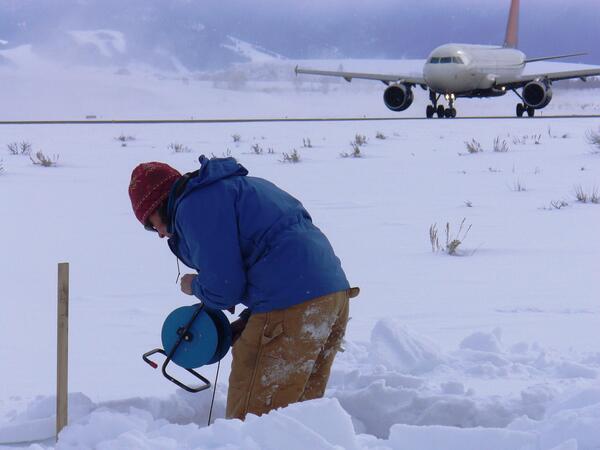
Taking a water-level measurement in a monitoring well at Jackson Hole
Taking a water-level measurement in a monitoring well at Jackson Hole Airport.

Collecting habitat data at 06324970
Collecting habitat data at 06324970
Collecting habitat data at 06324970

Section of Prospect Creek where stream has no flow
Section of Prospect Creek where stream has no flow
Section of Prospect Creek where stream has no flow


Preparing sample for macroinvertebrate analysis
Preparing sample for macroinvertebrate analysis
Preparing sample for macroinvertebrate analysis

Aerial image of a wetland complex in Medicine Lake NWR
Aerial image of a wetland complex in Medicine Lake NWR
Aerial image of a wetland complex in Medicine Lake NWR

Oil well pad in the Bakken Formation in North Dakota
Oil well pad in the Bakken Formation in North Dakota
Oil well pad in the Bakken Formation in North Dakota

Measuring water level in streambank piezometer nr Wind Riv at Kinnear
Measuring water level in streambank piezometer nr Wind River at Kinnear
Measuring water level in streambank piezometer nr Wind River at Kinnear

Aerial image of a tank battery in Medicine Lake NWR
Aerial image of a tank battery in Medicine Lake NWR
Aerial image of a tank battery in Medicine Lake NWR

Aerial image of a tank battery and wetlands, Medicine Lake NWR
Aerial image of a tank battery and wetlands, Medicine Lake NWR.
Aerial image of a tank battery and wetlands, Medicine Lake NWR.

Aerial image of oil discharge
Aerial image of oil discharge
Aerial image of oil discharge

Aerial image of wetlands and tank battery
Aerial image of wetlands and tank battery
Aerial image of wetlands and tank battery

Aerial image of drilling oil well into Bakken Formation, ND
Aerial image of drilling oil well into Bakken Formation in North Dakota
Aerial image of drilling oil well into Bakken Formation in North Dakota

Drilling an oil well into the Bakken Formation in North Dakota
Drilling an oil well into the Bakken Formation in North Dakota
Drilling an oil well into the Bakken Formation in North Dakota

Oil field facility in the Bakken Formation in North Dakota
Oil field facility in the Bakken Formation in North Dakota
Oil field facility in the Bakken Formation in North Dakota

Groundwater/surface water monitoring network at the Smith River above
Groundwater/surface water monitoring network at the Smith River above Mud Springs Creek
Groundwater/surface water monitoring network at the Smith River above Mud Springs Creek

Aerial image of an oil spill, Medicine Lake NWR wetlands
Aerial image of an oil spill, Medicine Lake NWR wetlands
Aerial image of an oil spill, Medicine Lake NWR wetlands

Aerial image of farmed wetland
Aerial image of farmed wetland
Aerial image of farmed wetland

Aerial image of an alkali wetland
Aerial image of an alkali wetland
Aerial image of an alkali wetland

Aerial image of a wetland and oil rig
Aerial image of a wetland and oil rig.
Aerial image of a wetland and oil rig.

Aerial image of a wetland and oil rig, Medicine Lake NWR
Aerial image of a wetland and oil rig, Medicine Lake NWR
Aerial image of a wetland and oil rig, Medicine Lake NWR