An official website of the United States government
Here's how you know
Official websites use .gov
A .gov website belongs to an official government organization in the United States.
Secure .gov websites use HTTPS
A lock () or https:// means you’ve safely connected to the .gov website. Share sensitive information only on official, secure websites.
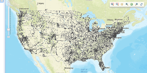
The National Water Information System (NWIS) Mapper provides access to over 1.5 million sites where current and historical surface-water, groundwater, springs, and atmospheric data has been collected.
The StreamStats map-based user interface can be used to delineate drainage areas, get basin characteristics and estimates of flow statistics, and more.
The New England Water Science Center has collected, reviewed, and aggregated water-withdrawal data in each of the six States every 5 years since 1950. The summary of the water-use compilation completed in 2015 is presented in this geonarrative.
The New England WSC geonarrative explores the availability of water-quality data collected by the Cape Cod National Seashore and U.S. Geological Survey in support of the Herring River restoration project. It highlights the development of the monitoring program since the 1980s and the recent publication of Cape Cod National Seashore data in a U.S. Geological Survey data release.
Locations of active wells (at least one measurement during the previous year) in the New England groundwater level network at the end of 2017. The dataset contains 104 wells with continuous water-level measurements (15-minute to hourly measurements), 182 wells with discrete water-level measurements (monthly measurements at most locations), and 95 wells with intermittent water-level measurements.
USGS installed 18 monitoring wells and 14 multilevel samplers (MLSs) at 14 locations to monitor water levels and groundwater quality beneath the Maravista neighborhood in Falmouth, Massachusetts.
The National Water Information System (NWIS) Mapper provides access to over 1.5 million sites contained in the USGS National Water Information System (NWIS), including sites where current and historical surface-water, groundwater, springs, and atmospheric data has been collected. Users can search by site type, data type, site number, or place.
StreamStats provides access to spatial analytical tools that are useful for water-resources planning and management, and for engineering and design purposes. The map-based user interface can be used to delineate drainage areas, get basin characteristics and estimates of flow statistics, and more. Available information varies from state to state.