
Video camera bright image at Cowells Beach in Santa Cruz, California, looking southward. Learn more about the cameras and how we're using them to study coastal change.
All Multimedia
Access all multimedia to include images, video, audio, webcams, before-after imagery, and more. Filter and explore with filtering options to refine search.
Filter Total Items: 26026

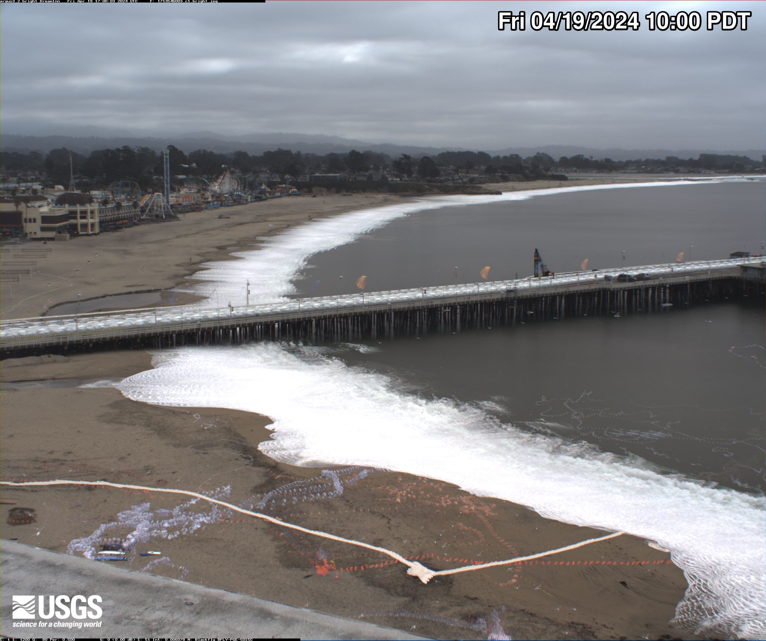
Santa Cruz Cowells Beach video camera bright image
Video camera bright image at Cowells Beach in Santa Cruz, California, looking southward. Learn more about the cameras and how we're using them to study coastal change.

Santa Cruz Cowells Beach video camera dark image
Video camera dark image at Cowells Beach in Santa Cruz, California, looking southward. Learn more about the cameras and how we're using them to study coastal change.
Video camera dark image at Cowells Beach in Santa Cruz, California, looking southward. Learn more about the cameras and how we're using them to study coastal change.

Santa Cruz Cowells Beach video camera variance image
Video camera variance image at Cowells Beach in Santa Cruz, California, looking southward. Learn more about the cameras and how we're using them to study coastal change.
Video camera variance image at Cowells Beach in Santa Cruz, California, looking southward. Learn more about the cameras and how we're using them to study coastal change.

Santa Cruz Main Beach video camera 1 snapshot
Video camera snapshot overlooking Main Beach in Santa Cruz, California, looking eastward. Learn more about the cameras and how we're using them to study coastal change.
Video camera snapshot overlooking Main Beach in Santa Cruz, California, looking eastward. Learn more about the cameras and how we're using them to study coastal change.
Santa Cruz Main Beach video camera bright image
Video camera bright image at Main Beach in Santa Cruz, California, looking eastward. Learn more about the cameras and how we're using them to study coastal change.
Video camera bright image at Main Beach in Santa Cruz, California, looking eastward. Learn more about the cameras and how we're using them to study coastal change.

Santa Cruz Main Beach video camera dark image
Video camera dark image at Main Beach in Santa Cruz, California, looking eastward. Learn more about the cameras and how we're using them to study coastal change.
Video camera dark image at Main Beach in Santa Cruz, California, looking eastward. Learn more about the cameras and how we're using them to study coastal change.

Santa Cruz Main Beach video camera variance image
Video camera variance image at Main Beach in Santa Cruz, California, looking eastward. Learn more about the cameras and how we're using them to study coastal change.
Video camera variance image at Main Beach in Santa Cruz, California, looking eastward. Learn more about the cameras and how we're using them to study coastal change.

Unalakleet video camera 1 bright image
Two video cameras overlook the coast from atop a windmill tower in Unalakleet, Alaska where they look westward over Norton Sound. Every half hour during daylight hours, the cameras collect snapshots and video for 10 minutes. Today’s most recent image from camera 1 is shown here.
Two video cameras overlook the coast from atop a windmill tower in Unalakleet, Alaska where they look westward over Norton Sound. Every half hour during daylight hours, the cameras collect snapshots and video for 10 minutes. Today’s most recent image from camera 1 is shown here.

Unalakleet video camera 1 dark image
Two video cameras overlook the coast from atop a windmill tower in Unalakleet, Alaska where they look westward over Norton Sound. Every half hour during daylight hours, the cameras collect snapshots and video for 10 minutes. Today’s most recent image from camera 1 is shown here.
Two video cameras overlook the coast from atop a windmill tower in Unalakleet, Alaska where they look westward over Norton Sound. Every half hour during daylight hours, the cameras collect snapshots and video for 10 minutes. Today’s most recent image from camera 1 is shown here.
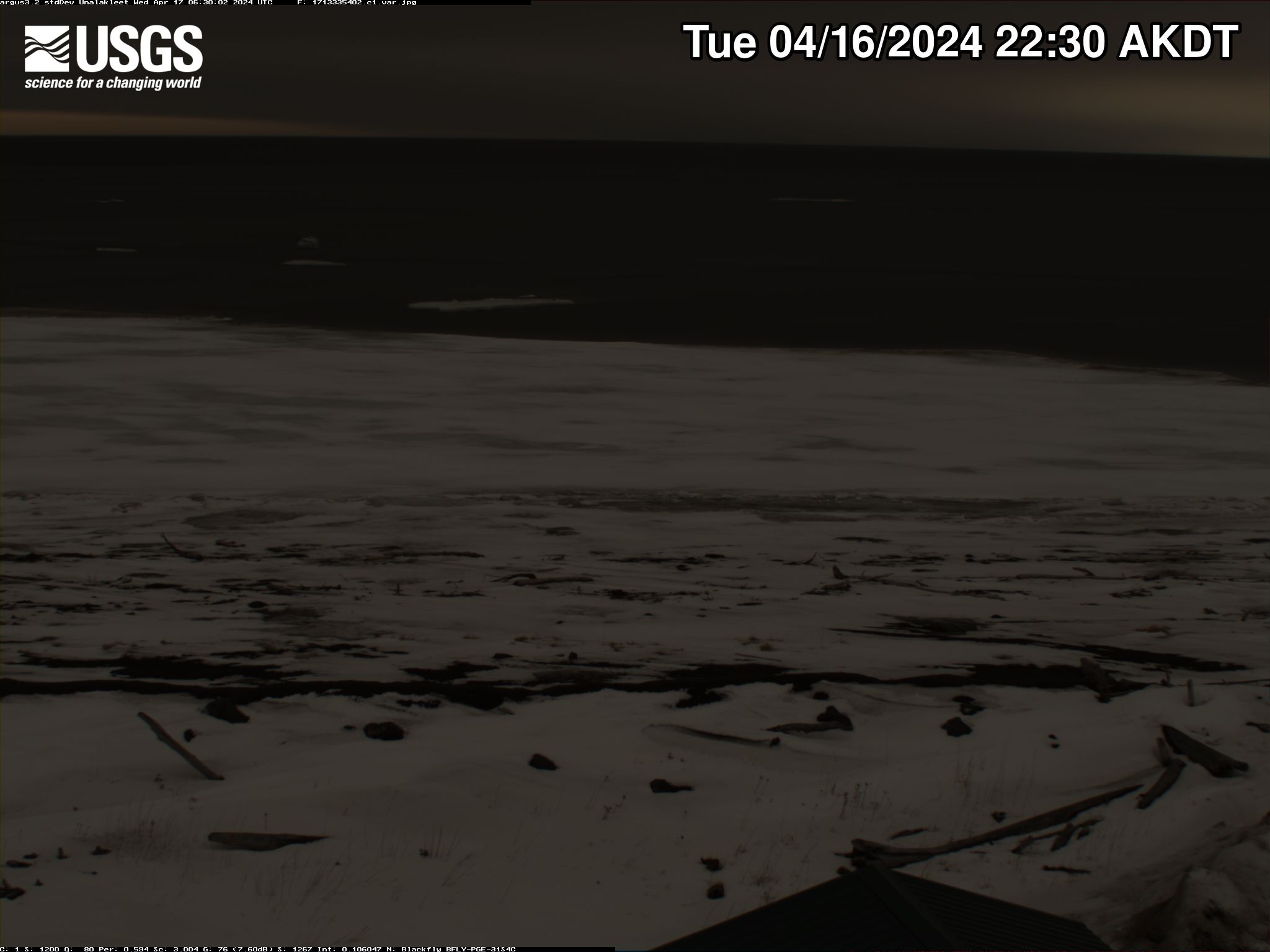
Unalakleet video camera 1 variance image
Two video cameras overlook the coast from atop a windmill tower in Unalakleet, Alaska where they look westward over Norton Sound. Every half hour during daylight hours, the cameras collect snapshots and video for 10 minutes. Today’s most recent image from camera 1 is shown here.
Two video cameras overlook the coast from atop a windmill tower in Unalakleet, Alaska where they look westward over Norton Sound. Every half hour during daylight hours, the cameras collect snapshots and video for 10 minutes. Today’s most recent image from camera 1 is shown here.

Unalakleet video camera 2 bright image
Two video cameras overlook the coast from atop a windmill tower in Unalakleet, Alaska where they look westward over Norton Sound. Every half hour during daylight hours, the cameras collect snapshots and video for 10 minutes. Today’s most recent image from camera 2 is shown here.
Two video cameras overlook the coast from atop a windmill tower in Unalakleet, Alaska where they look westward over Norton Sound. Every half hour during daylight hours, the cameras collect snapshots and video for 10 minutes. Today’s most recent image from camera 2 is shown here.
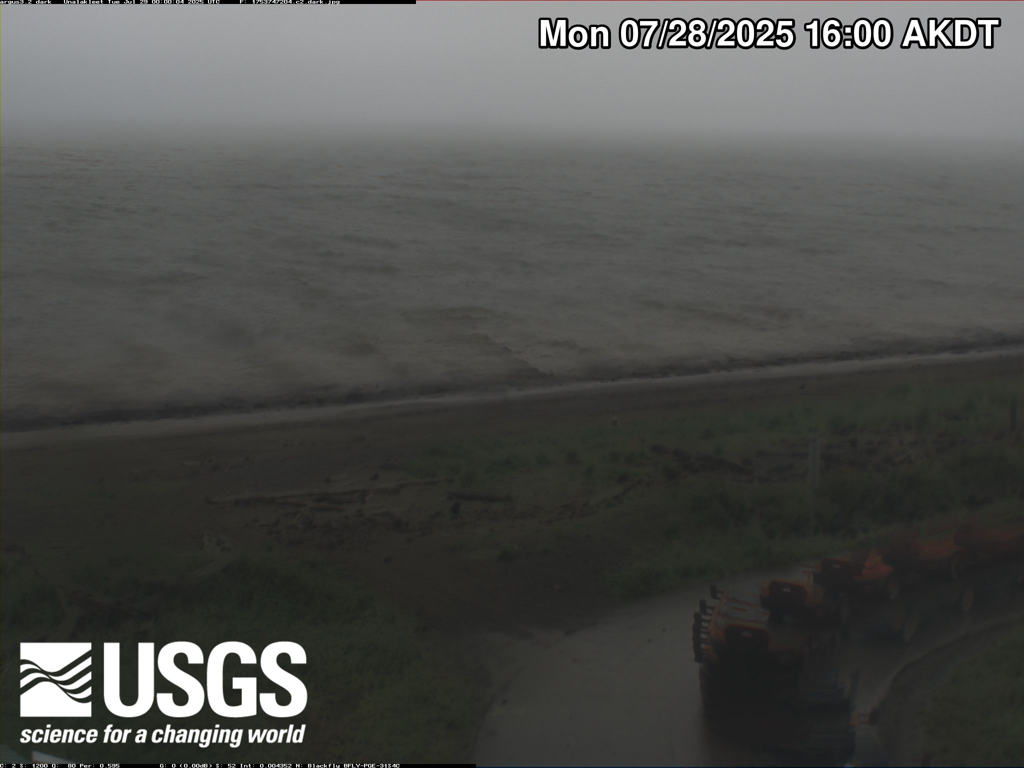
Unalakleet video camera 2 dark image
Two video cameras overlook the coast from atop a windmill tower in Unalakleet, Alaska where they look westward over Norton Sound. Every half hour during daylight hours, the cameras collect snapshots and video for 10 minutes. Today’s most recent image from camera 2 is shown here.
Two video cameras overlook the coast from atop a windmill tower in Unalakleet, Alaska where they look westward over Norton Sound. Every half hour during daylight hours, the cameras collect snapshots and video for 10 minutes. Today’s most recent image from camera 2 is shown here.

Unalakleet video camera 2 time exposure
Two video cameras overlook the coast from atop a windmill tower in Unalakleet, Alaska where they look westward over Norton Sound. Every half hour during daylight hours, the cameras collect snapshots and video for 10 minutes. Today’s most recent time-exposure (timex) image from camera 2 is shown here.
Two video cameras overlook the coast from atop a windmill tower in Unalakleet, Alaska where they look westward over Norton Sound. Every half hour during daylight hours, the cameras collect snapshots and video for 10 minutes. Today’s most recent time-exposure (timex) image from camera 2 is shown here.
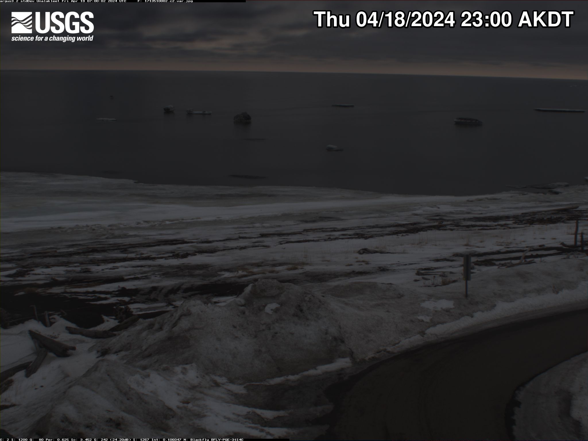
Unalakleet video camera 2 variance image
Two video cameras overlook the coast from atop a windmill tower in Unalakleet, Alaska where they look westward over Norton Sound. Every half hour during daylight hours, the cameras collect snapshots and video for 10 minutes. Today’s most recent image from camera 2 is shown here.
Two video cameras overlook the coast from atop a windmill tower in Unalakleet, Alaska where they look westward over Norton Sound. Every half hour during daylight hours, the cameras collect snapshots and video for 10 minutes. Today’s most recent image from camera 2 is shown here.

Unalakleet video camera 1 snapshot
Two video cameras overlook the coast from atop a windmill tower in Unalakleet, Alaska where they look westward over Norton Sound. Every half hour during daylight hours, the cameras collect snapshots and video for 10 minutes. Today’s most recent image from camera 1 is shown here.
Two video cameras overlook the coast from atop a windmill tower in Unalakleet, Alaska where they look westward over Norton Sound. Every half hour during daylight hours, the cameras collect snapshots and video for 10 minutes. Today’s most recent image from camera 1 is shown here.

Unalakleet video camera 1 time exposure
Two video cameras overlook the coast from atop a windmill tower in Unalakleet, Alaska where they look westward over Norton Sound. Every half hour during daylight hours, the cameras collect snapshots and video for 10 minutes. Today’s most recent time-exposure (timex) image from camera 1 is shown here.
Two video cameras overlook the coast from atop a windmill tower in Unalakleet, Alaska where they look westward over Norton Sound. Every half hour during daylight hours, the cameras collect snapshots and video for 10 minutes. Today’s most recent time-exposure (timex) image from camera 1 is shown here.

Unalakleet video camera 2 snapshot
Two video cameras overlook the coast from atop a windmill tower in Unalakleet, Alaska where they look westward over Norton Sound. Every half hour during daylight hours, the cameras collect snapshots and video for 10 minutes. Today’s most recent image from camera 2 is shown here.
Two video cameras overlook the coast from atop a windmill tower in Unalakleet, Alaska where they look westward over Norton Sound. Every half hour during daylight hours, the cameras collect snapshots and video for 10 minutes. Today’s most recent image from camera 2 is shown here.
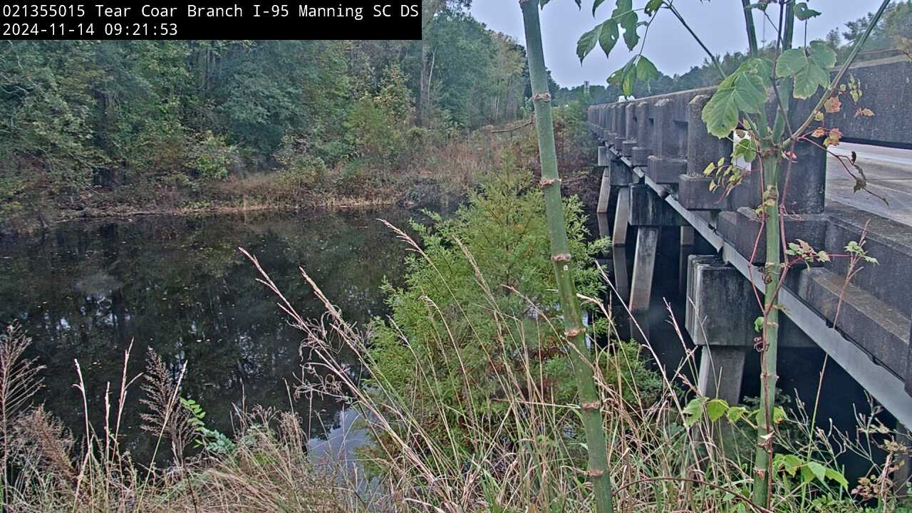
Tearcoat Branch at I-95, near Manning (021355015, Downstream)
We have installed a webcam at Tearcoat Branch at I-95, near Manning to allow you to view (in real time) the current river-stage conditions.
During periods of flooding, the South Atlantic Water Science Center will take control of the camera.
We have installed a webcam at Tearcoat Branch at I-95, near Manning to allow you to view (in real time) the current river-stage conditions.
During periods of flooding, the South Atlantic Water Science Center will take control of the camera.
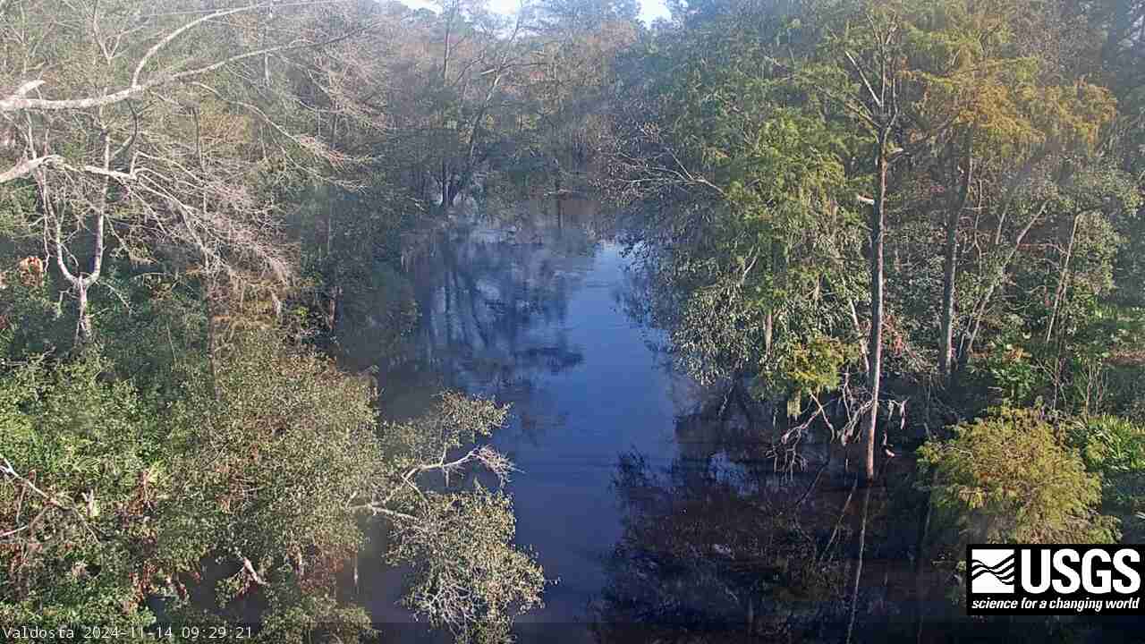
Withlacoochee River at Skipper Bridge Rd. near Bemiss (023177483)
We have installed a webcam at the Withlacoochee River at Skipper Bridge Rd. near Bemiss, GA to allow you to view, in real time, the current river-stage conditions.
During periods of flooding, the South Atlantic Water Science Center will take control of the camera.
We have installed a webcam at the Withlacoochee River at Skipper Bridge Rd. near Bemiss, GA to allow you to view, in real time, the current river-stage conditions.
During periods of flooding, the South Atlantic Water Science Center will take control of the camera.

San Lorenzo River at Big Trees State Park, CA
This webcam is located at USGS streamgage 11160500 on San Lorenzo River at Big Trees State Park. This station provides continuous monitoring of river stage.
This webcam is located at USGS streamgage 11160500 on San Lorenzo River at Big Trees State Park. This station provides continuous monitoring of river stage.
Illinois River Floatcam
The Illinois River Floatcam is located at USGS station 07196320 on the Illinois River near Moodys, OK (Combs Bridge), about 36 miles downstream from the Arkansas state line.
The Illinois River Floatcam is located at USGS station 07196320 on the Illinois River near Moodys, OK (Combs Bridge), about 36 miles downstream from the Arkansas state line.