Webcam at USGS Streamgage 01387998 Ramapo River above Dam at Pompton Lakes, NJ
Visit Water Data For the Nation to get current data for this site.

Official websites use .gov
A .gov website belongs to an official government organization in the United States.
Secure .gov websites use HTTPS
A lock () or https:// means you’ve safely connected to the .gov website. Share sensitive information only on official, secure websites.
Access all multimedia to include images, video, audio, webcams, before-after imagery, and more. Filter and explore with filtering options to refine search.
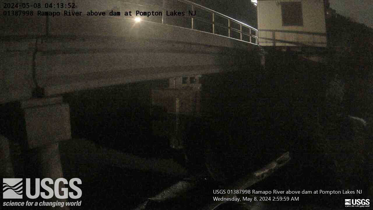
Webcam at USGS Streamgage 01387998 Ramapo River above Dam at Pompton Lakes, NJ
Visit Water Data For the Nation to get current data for this site.
Webcam at USGS Streamgage 01387998 Ramapo River above Dam at Pompton Lakes, NJ
Visit Water Data For the Nation to get current data for this site.
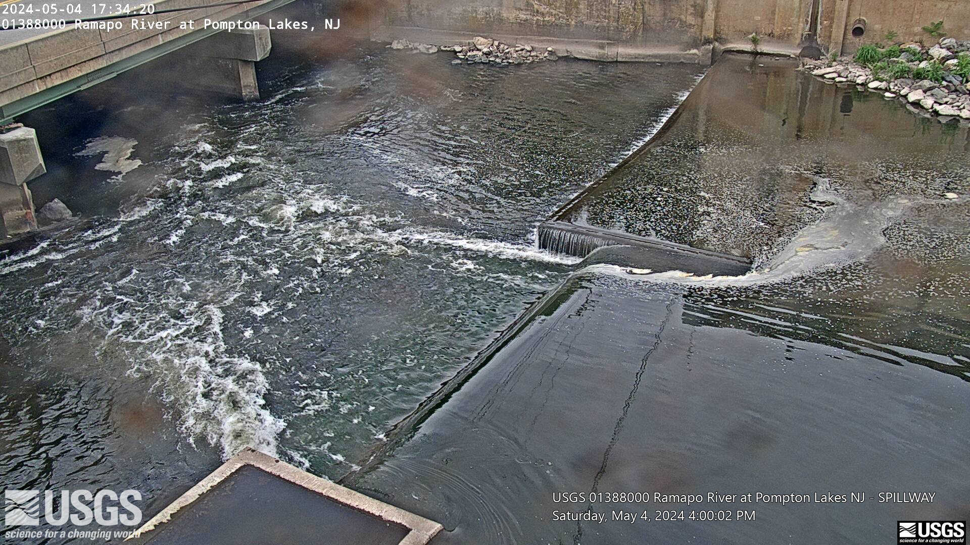
Webcam at USGS Streamgage 01388000 Ramapo River at Pompton Lakes, NJ
Visit Water Data For the Nation to get current data for this site.
Webcam at USGS Streamgage 01388000 Ramapo River at Pompton Lakes, NJ
Visit Water Data For the Nation to get current data for this site.
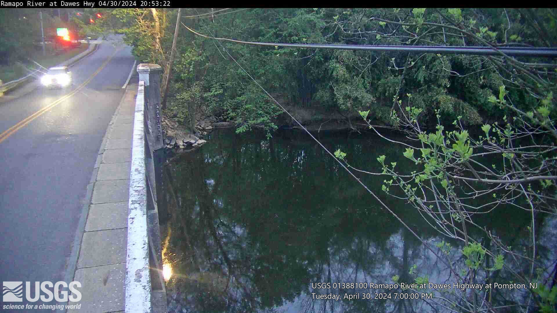
Webcam at USGS Streamgage 01388100 Ramapo River at Dawes Highway at Pompton NJ.
Visit Water Data For the Nation to get current data for this site.
Webcam at USGS Streamgage 01388100 Ramapo River at Dawes Highway at Pompton NJ.
Visit Water Data For the Nation to get current data for this site.
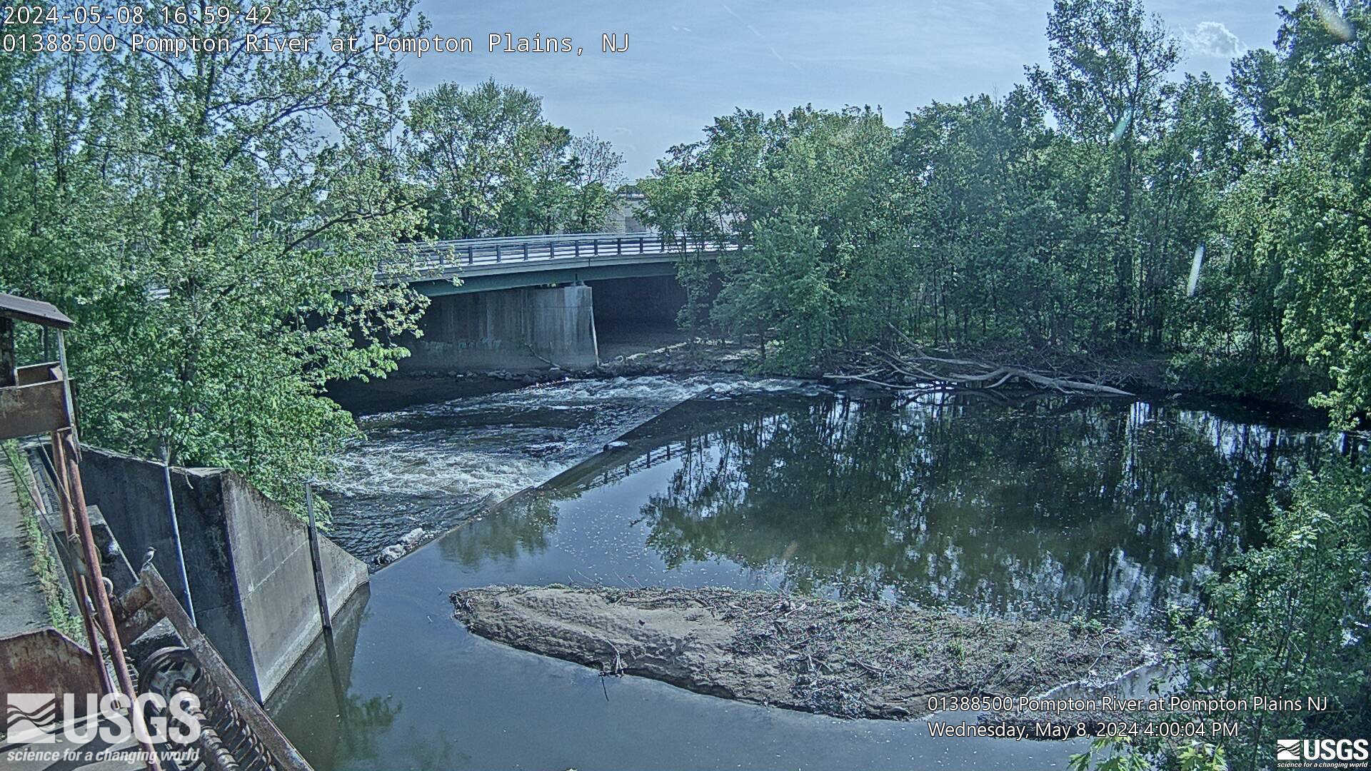
Webcam at USGS Streamgage 01388500 Pompton River at Pompton Plains, NJ
Visit Water Data For the Nation to get current data for this site.
Webcam at USGS Streamgage 01388500 Pompton River at Pompton Plains, NJ
Visit Water Data For the Nation to get current data for this site.
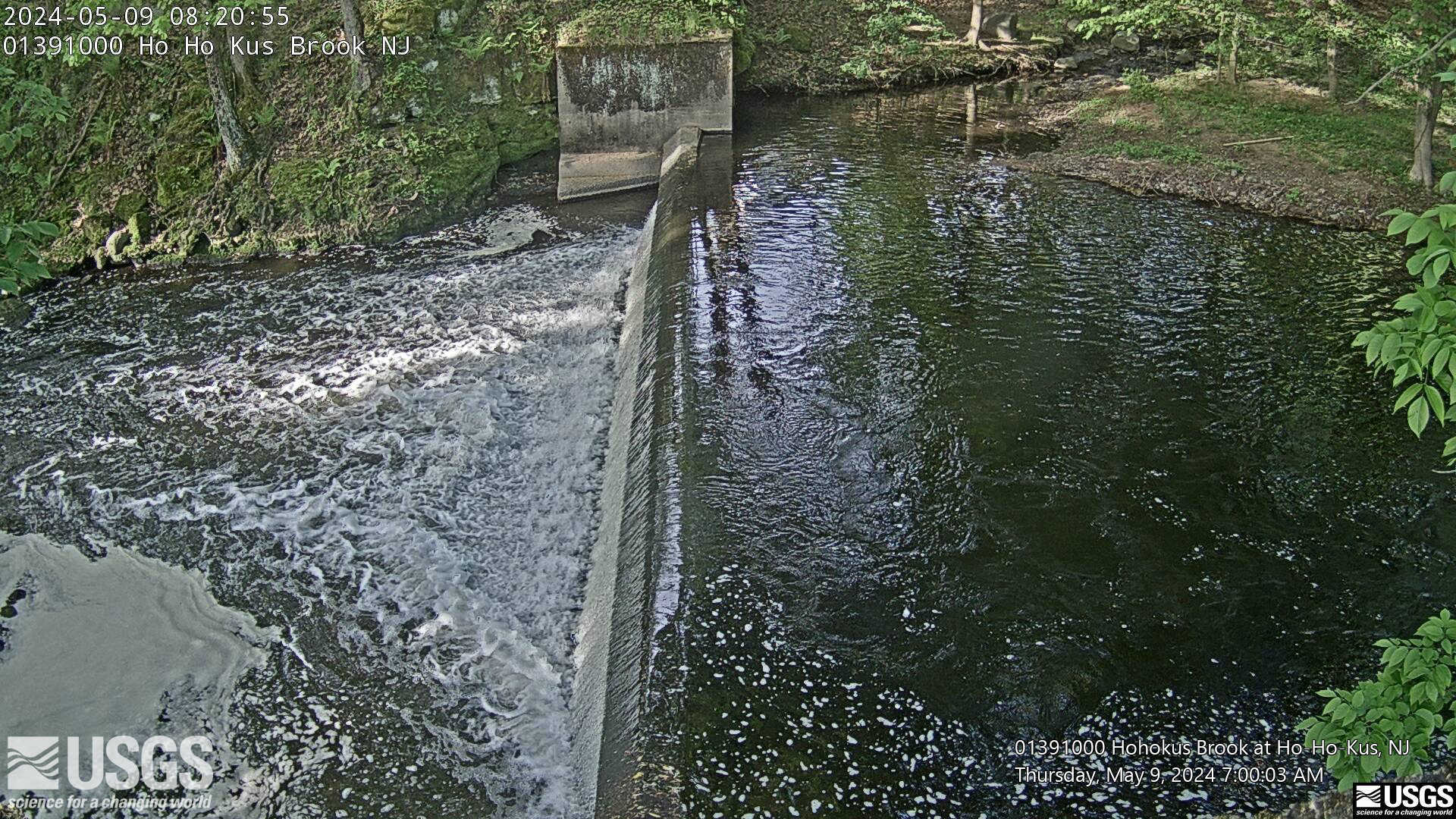
Webcam at USGS Streamgage 01391000 Hohokus Brook at Ho-Ho-Kus, NJ
Visit Water Data For the Nation to get current data for this site.
Webcam at USGS Streamgage 01391000 Hohokus Brook at Ho-Ho-Kus, NJ
Visit Water Data For the Nation to get current data for this site.
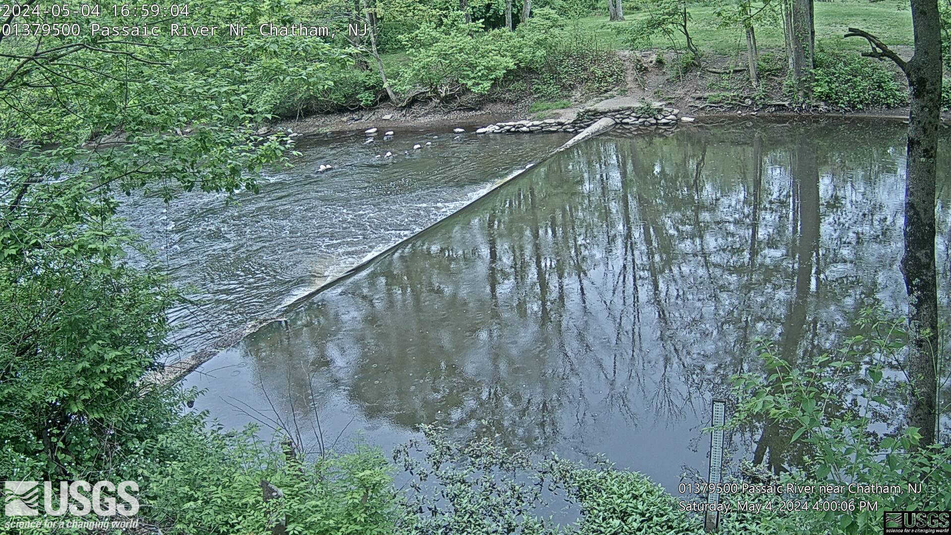
Webcam at USGS Streamgage 01379500 Passaic River near Chathem, NJ.
Visit Water Data For the Nation to get current data for this site.
Webcam at USGS Streamgage 01379500 Passaic River near Chathem, NJ.
Visit Water Data For the Nation to get current data for this site.
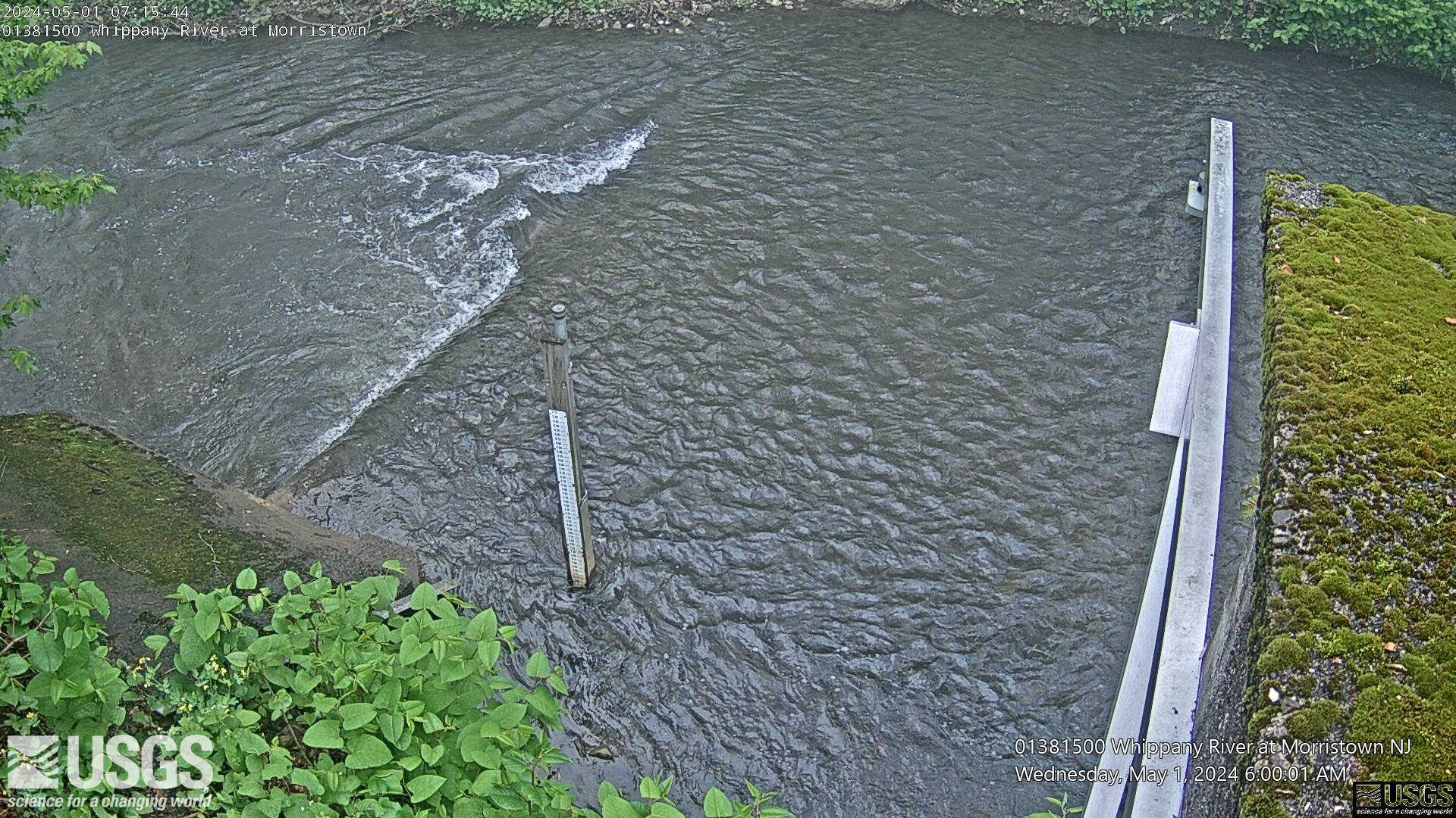
Webcam at USGS Streamgage 01381500 Whippany River at Morristown, NJ
Visit Water Data For the Nation to get current data for this site.
Webcam at USGS Streamgage 01381500 Whippany River at Morristown, NJ
Visit Water Data For the Nation to get current data for this site.
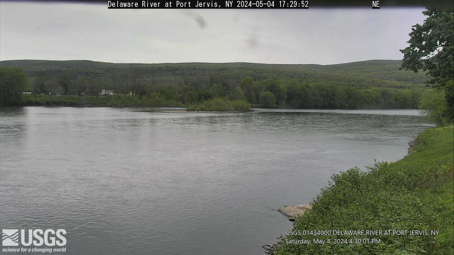
Webcam at USGS Streamgage 01434000 Delaware River at Port Jervis, NY.
Visit Water Data For the Nation to get current data for this site.
Webcam at USGS Streamgage 01434000 Delaware River at Port Jervis, NY.
Visit Water Data For the Nation to get current data for this site.
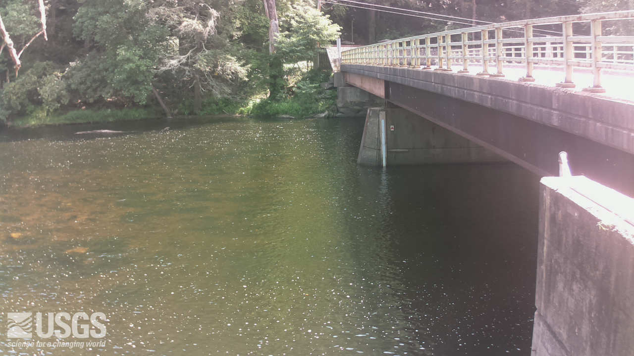
Webcam at USGS Streamgage 01437500 Neversink River at Godeffroy, NY.
Visit Water Data For the Nation to get current data for this site.
Webcam at USGS Streamgage 01437500 Neversink River at Godeffroy, NY.
Visit Water Data For the Nation to get current data for this site.
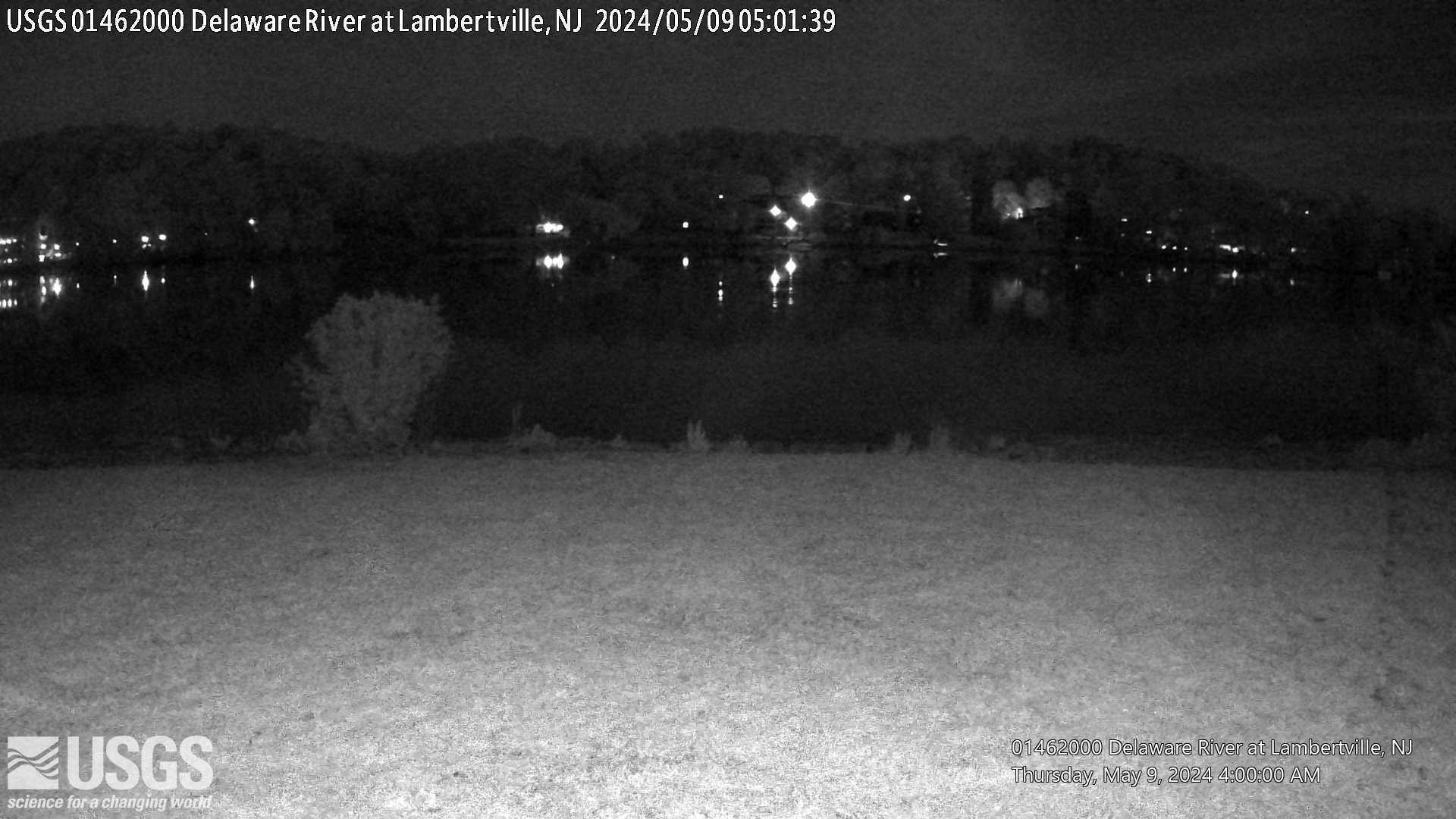
Webcam at USGS Streamgage 01462000 Delaware River at Lambertville, NJ.
Visit Water Data For the Nation to get current data for this site.
Webcam at USGS Streamgage 01462000 Delaware River at Lambertville, NJ.
Visit Water Data For the Nation to get current data for this site.
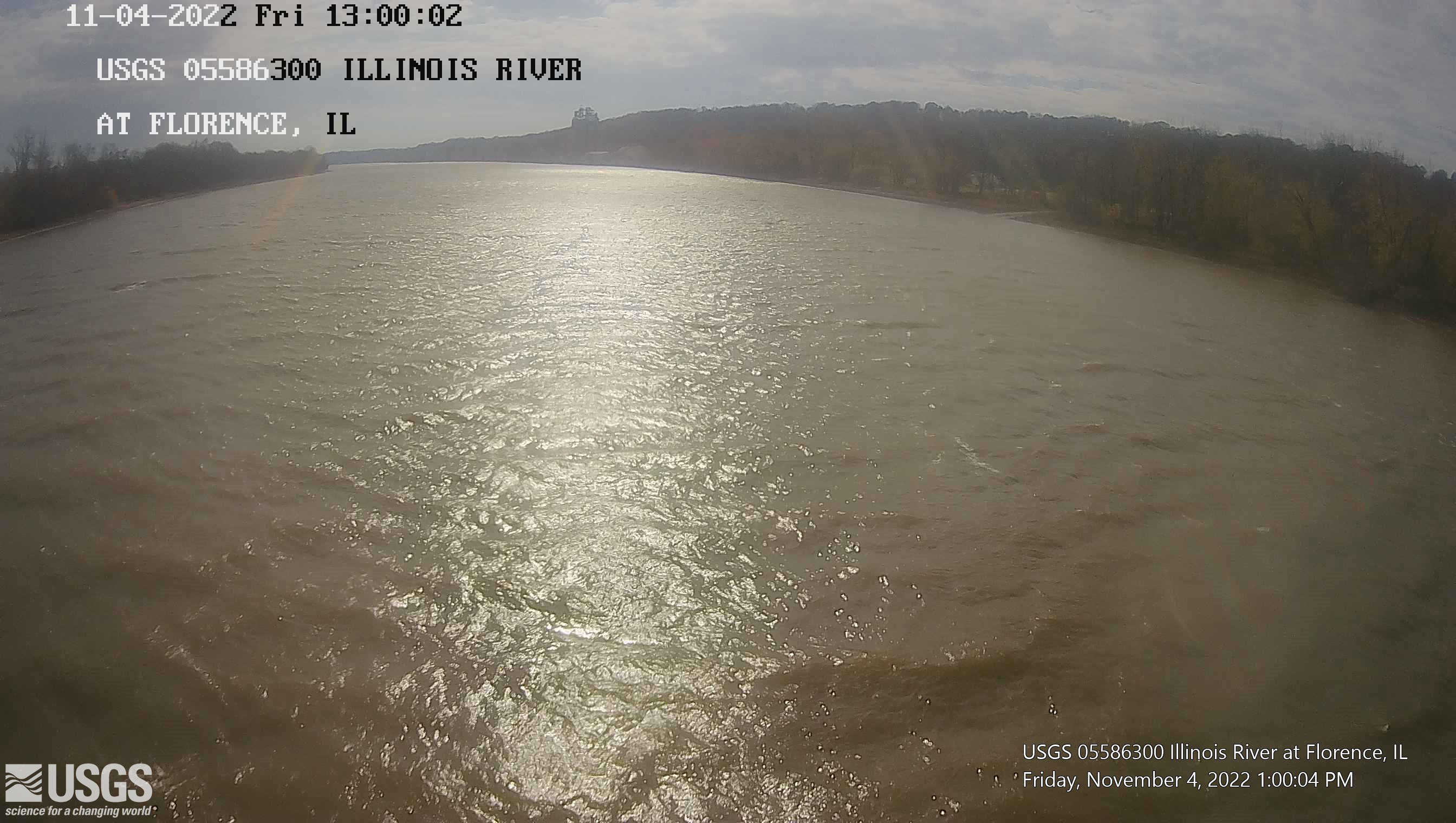
Webcam at USGS Streamgage 05586300 Illinois River at Florence, IL.
Visit Water Data For the Nation to get current data for this site.
Webcam at USGS Streamgage 05586300 Illinois River at Florence, IL.
Visit Water Data For the Nation to get current data for this site.
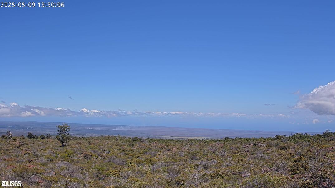
View from Mauna Loa Strip Road looking at the Kīlauea summit to document volcanic eruption plumes.
Disclaimer
View from Mauna Loa Strip Road looking at the Kīlauea summit to document volcanic eruption plumes.
Disclaimer

Webcam at USGS Streamgage 09071750 Colorado River above Glenwood Springs, CO.
Visit Water Data For the Nation to get current data for this site.
Webcam at USGS Streamgage 09071750 Colorado River above Glenwood Springs, CO.
Visit Water Data For the Nation to get current data for this site.
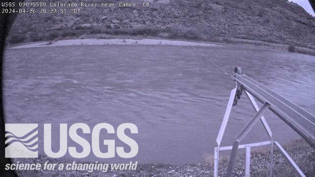
Webcam at USGS Streamgage 09095500 Colorado River near Cameo, CO.
Visit Water Data For the Nation to get current data for this site.
Webcam at USGS Streamgage 09095500 Colorado River near Cameo, CO.
Visit Water Data For the Nation to get current data for this site.

Video camera snapshot at Sunset State Beach in Watsonville, California, looking northwest. Learn more about the cameras and their imagery, and how we're using them to study coastal change.
Video camera snapshot at Sunset State Beach in Watsonville, California, looking northwest. Learn more about the cameras and their imagery, and how we're using them to study coastal change.

Video camera dark image at Sunset State Beach in Watsonville, California, looking northwest. Learn more about the cameras and their imagery, and how we're using them to study coastal change.
Video camera dark image at Sunset State Beach in Watsonville, California, looking northwest. Learn more about the cameras and their imagery, and how we're using them to study coastal change.
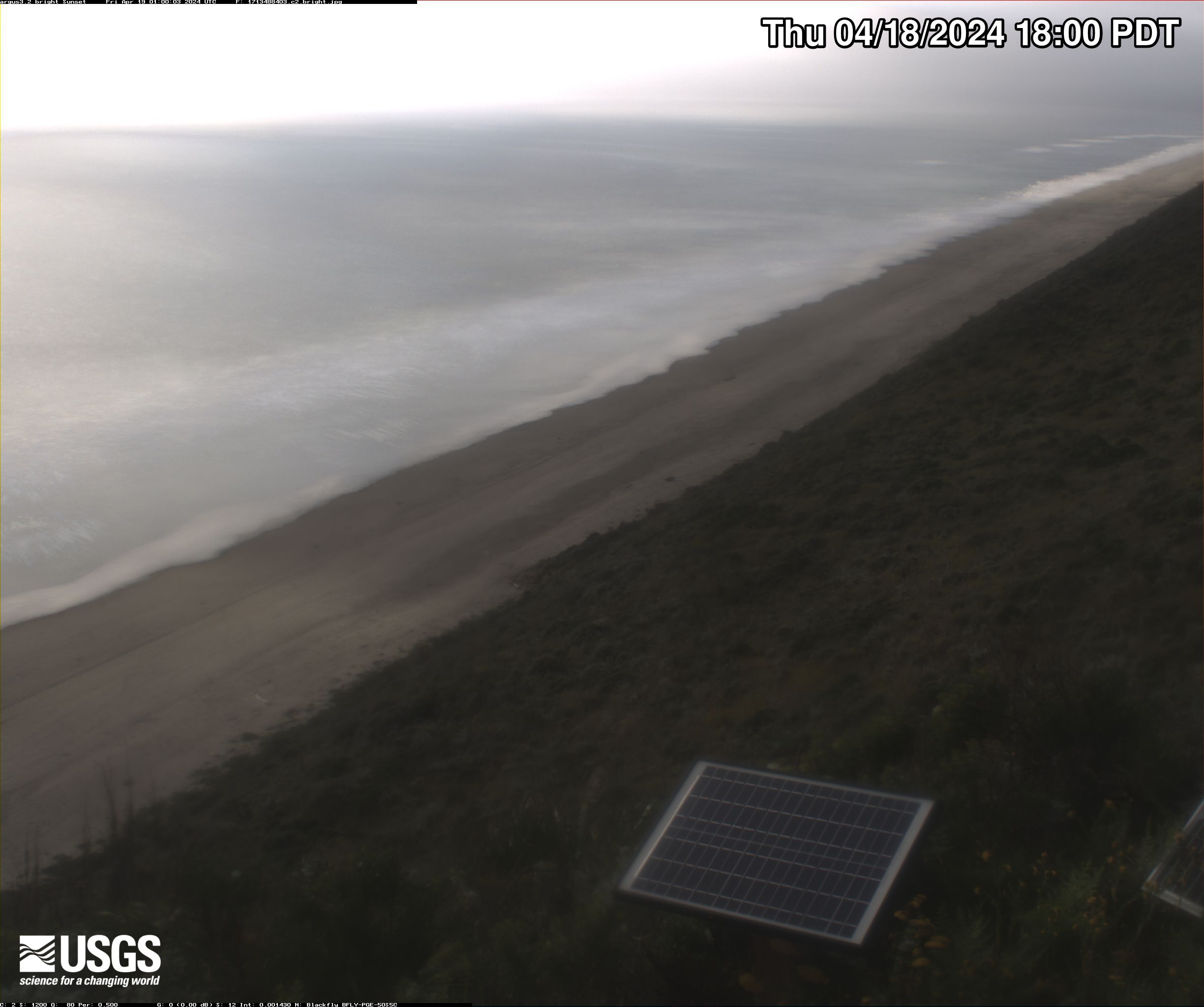
Video camera bright image at Sunset State Beach in Watsonville, California, looking north. Learn more about the cameras and their imagery, and how we're using them to study coastal change.
Video camera bright image at Sunset State Beach in Watsonville, California, looking north. Learn more about the cameras and their imagery, and how we're using them to study coastal change.

Video camera bright image at Sunset State Beach in Watsonville, California, looking north. Learn more about the cameras and their imagery, and how we're using them to study coastal change.
Video camera bright image at Sunset State Beach in Watsonville, California, looking north. Learn more about the cameras and their imagery, and how we're using them to study coastal change.

Video camera snapshot at Sunset State Beach in Watsonville, California, looking northwest. Learn more about the cameras and how we're using them to study coastal change.
Video camera snapshot at Sunset State Beach in Watsonville, California, looking northwest. Learn more about the cameras and how we're using them to study coastal change.

Video camera timex (time-exposure) image at Sunset State Beach in Watsonville, California, looking northwest. Learn more about the cameras and how we're using them to study coastal change.
Video camera timex (time-exposure) image at Sunset State Beach in Watsonville, California, looking northwest. Learn more about the cameras and how we're using them to study coastal change.