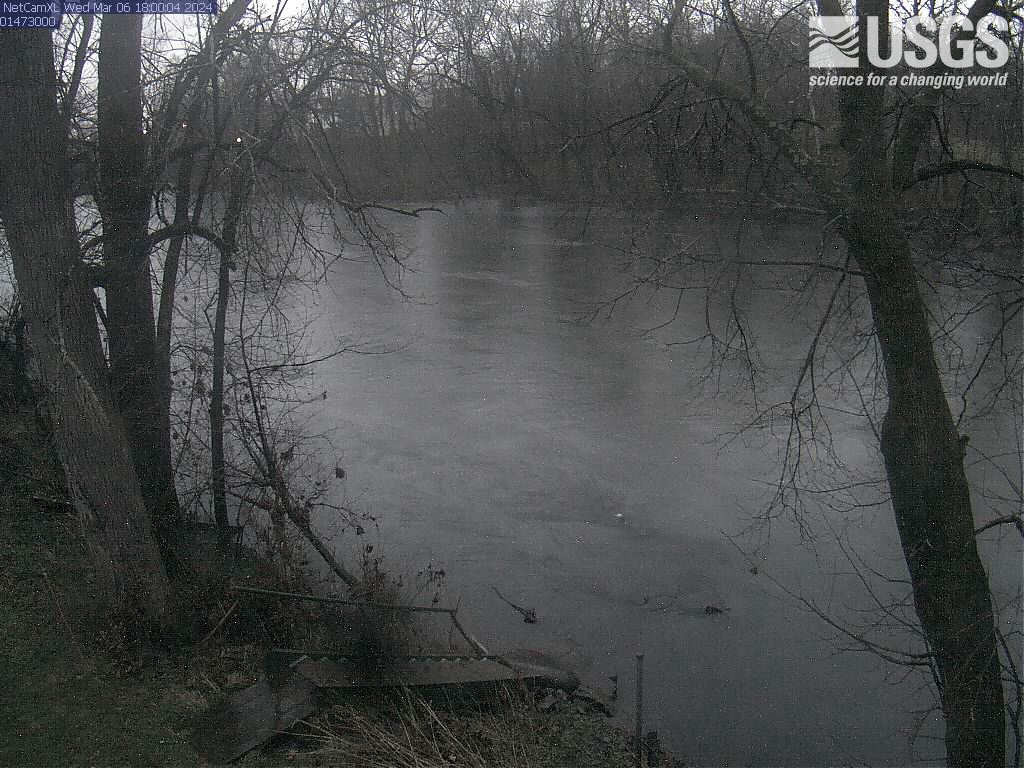
PLEASE NOTE: During winter months, ice and snow can affect the picture quality. The camera is cleaned as often as it is safe to do so.
Lake Champlain at Port Henry, NY (04294413)

Official websites use .gov
A .gov website belongs to an official government organization in the United States.
Secure .gov websites use HTTPS
A lock () or https:// means you’ve safely connected to the .gov website. Share sensitive information only on official, secure websites.
Access all multimedia to include images, video, audio, webcams, before-after imagery, and more. Filter and explore with filtering options to refine search.
PLEASE NOTE: During winter months, ice and snow can affect the picture quality. The camera is cleaned as often as it is safe to do so.
Lake Champlain at Port Henry, NY (04294413)
PLEASE NOTE: During winter months, ice and snow can affect the picture quality. The camera is cleaned as often as it is safe to do so.
Lake Champlain at Port Henry, NY (04294413)
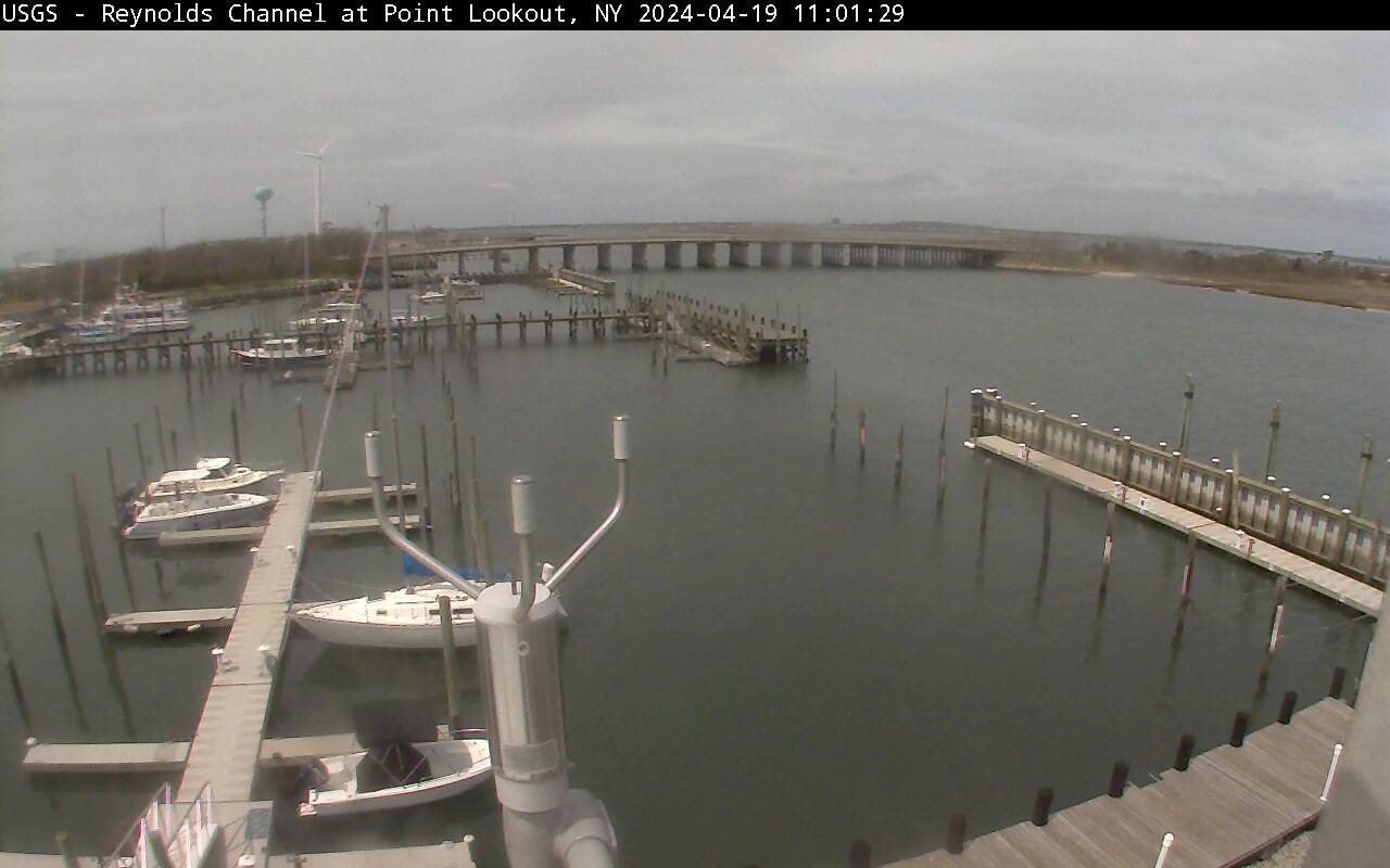
Latest webcam image of Reynolds Channel (01310740).
Image timestamp is in Eastern Standard Time.
Webcam is located on tower at USGS gaging station, looking west-northwest toward Loop Parkway Bridge.
Latest webcam image of Reynolds Channel (01310740).
Image timestamp is in Eastern Standard Time.
Webcam is located on tower at USGS gaging station, looking west-northwest toward Loop Parkway Bridge.
Video camera snapshot at Cowells Beach in Santa Cruz, California, looking southward. Learn more about the cameras and how we're using them to study coastal change.
Video camera snapshot at Cowells Beach in Santa Cruz, California, looking southward. Learn more about the cameras and how we're using them to study coastal change.

Video camera time-exposure image at Cowells Beach in Santa Cruz, California, looking southward. Learn more about the cameras and how we're using them to study coastal change.
Video camera time-exposure image at Cowells Beach in Santa Cruz, California, looking southward. Learn more about the cameras and how we're using them to study coastal change.

Video camera time-exposure image at Main Beach in Santa Cruz, California, looking eastward. Learn more about the cameras and how we're using them to study coastal change.
Video camera time-exposure image at Main Beach in Santa Cruz, California, looking eastward. Learn more about the cameras and how we're using them to study coastal change.
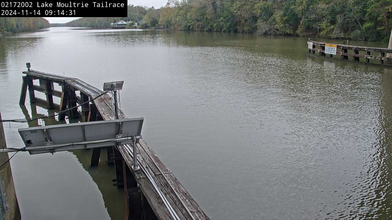
We have installed a webcam at the Lake Moultrie Tailrace Canal at Moncks Corner, SC to allow you to view, in real time, the current river-stage conditions.
During periods of flooding, the South Atlantic Water Science Center - South Carolina will take control of the camera.
We have installed a webcam at the Lake Moultrie Tailrace Canal at Moncks Corner, SC to allow you to view, in real time, the current river-stage conditions.
During periods of flooding, the South Atlantic Water Science Center - South Carolina will take control of the camera.
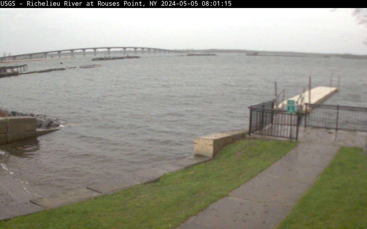
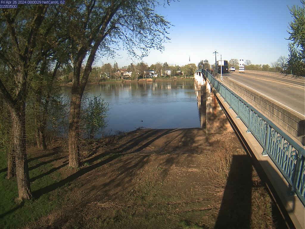
Richelieu River (Lake Champlain) at Rouses Point, NY from USGS gaging station (04295000)
Richelieu River (Lake Champlain) at Rouses Point, NY from USGS gaging station (04295000)
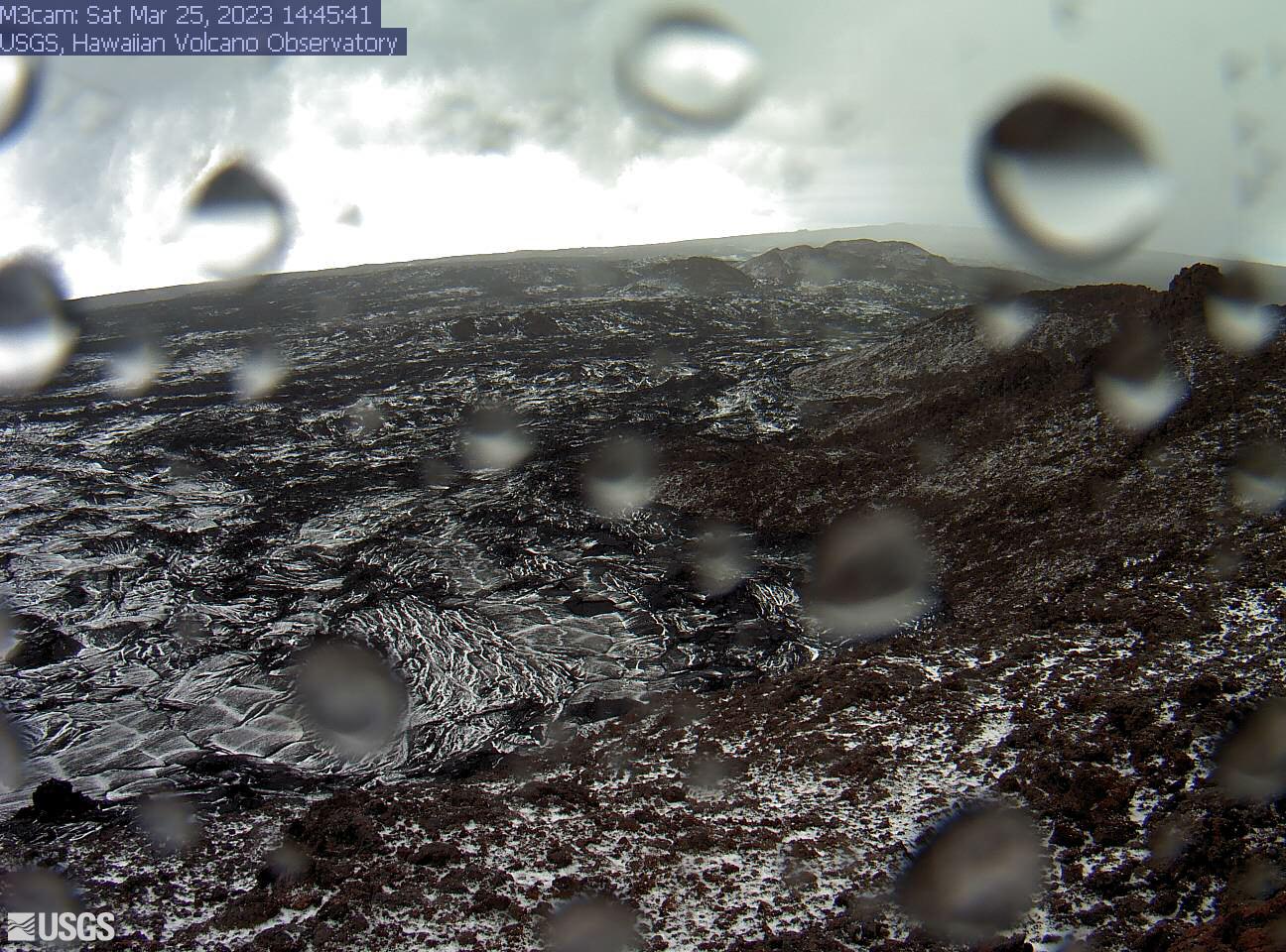
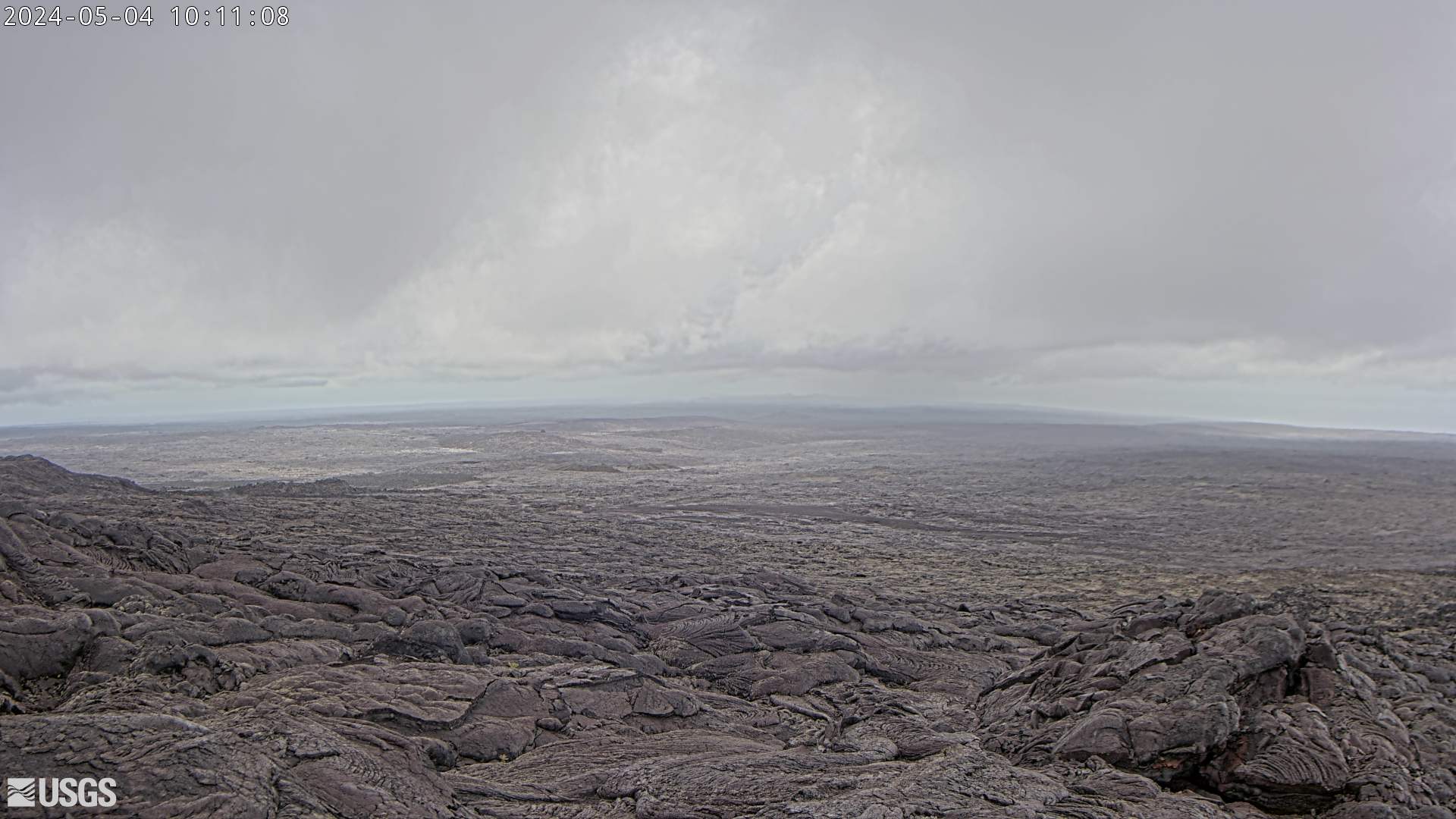
This image is from a research camera positioned on a cone in Mauna Loa's Southwest Rift Zone in Hawaiʻi Volcanoes National Park. The camera looks northeast (upslope), focusing on the middle part of the Southwest Rift Zone. The volcano's summit is at upper right.
Disclaimer
This image is from a research camera positioned on a cone in Mauna Loa's Southwest Rift Zone in Hawaiʻi Volcanoes National Park. The camera looks northeast (upslope), focusing on the middle part of the Southwest Rift Zone. The volcano's summit is at upper right.
Disclaimer
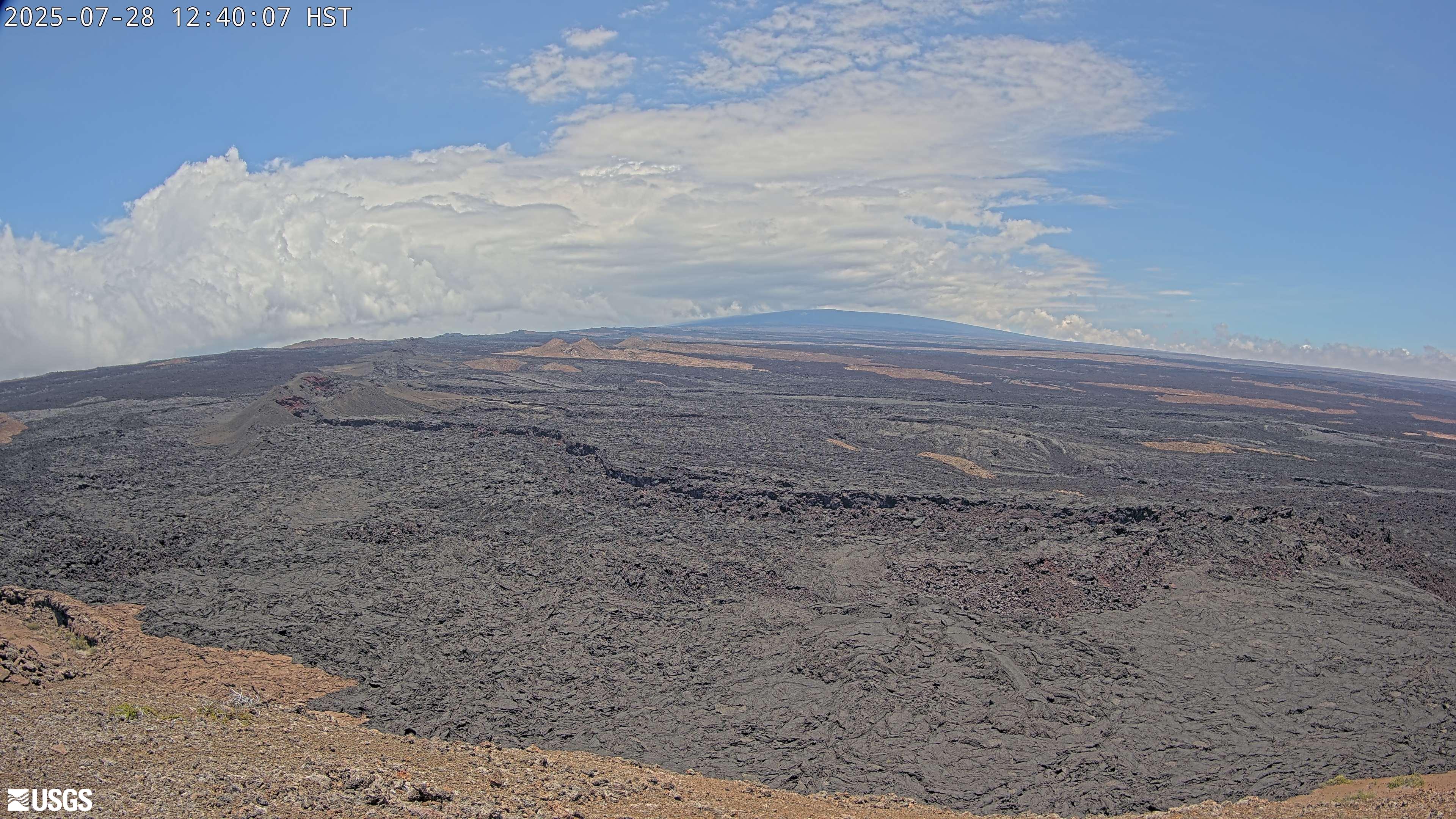
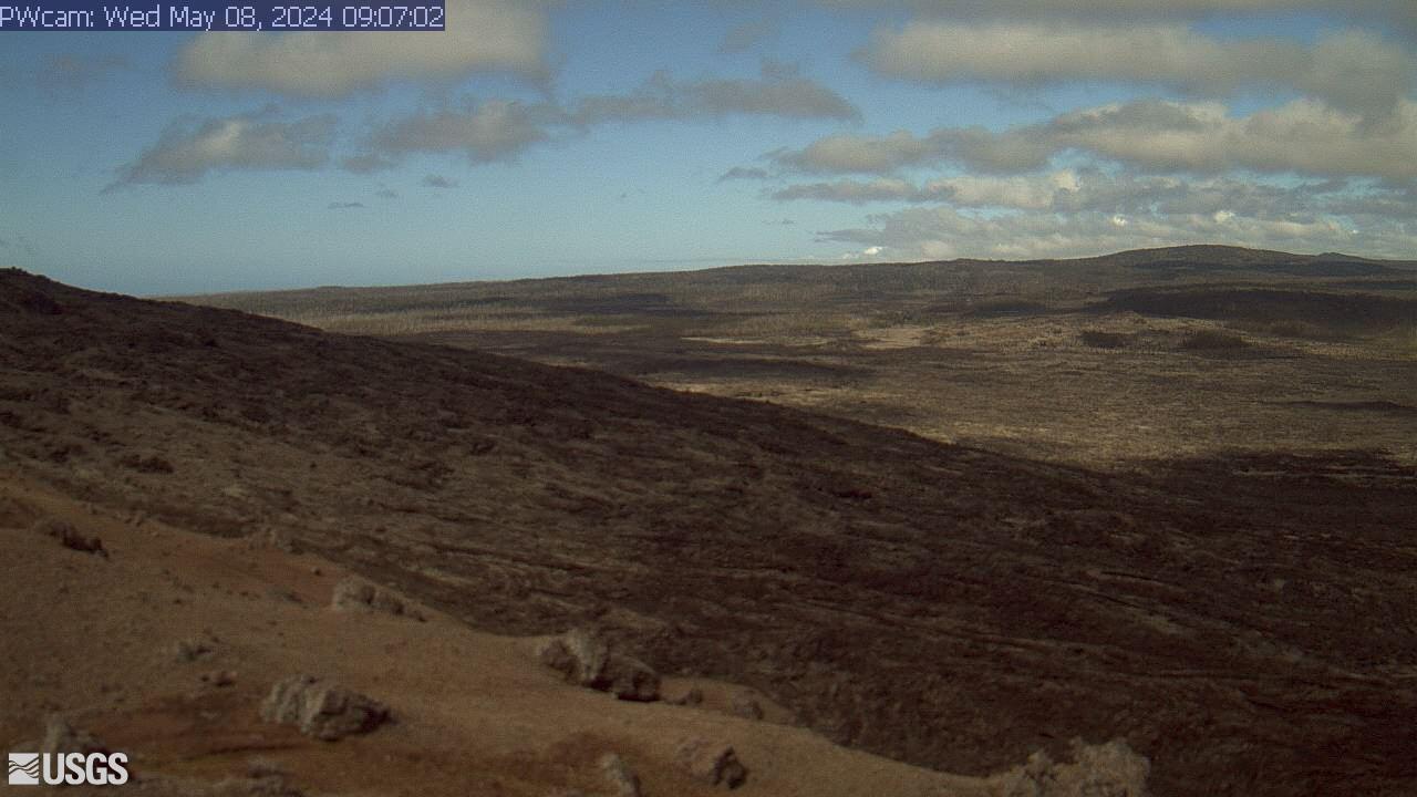
This image is from a research camera positioned on a cone in Mauna Loa's Southwest Rift Zone in Hawaiʻi Volcanoes National Park. The camera looks northeast (upslope), focusing on the upper part of the Southwest Rift Zone. The upper flank of Mauna Loa forms the skyline.
Disclaimer
This image is from a research camera positioned on a cone in Mauna Loa's Southwest Rift Zone in Hawaiʻi Volcanoes National Park. The camera looks northeast (upslope), focusing on the upper part of the Southwest Rift Zone. The upper flank of Mauna Loa forms the skyline.
Disclaimer
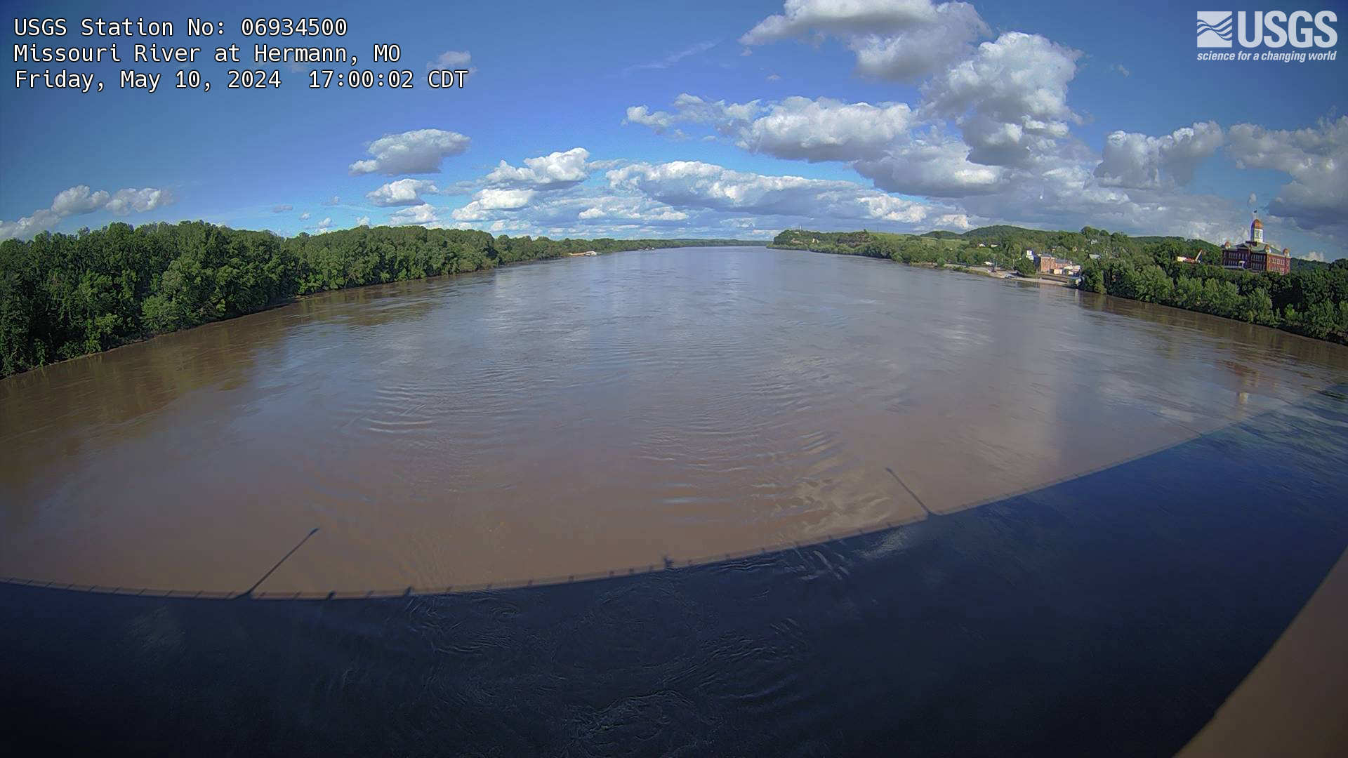
The webcam is located on a gaging station (06934500) on the Missouri River in Hermann, MO. View the current conditions at the gaging station.
The webcam is located on a gaging station (06934500) on the Missouri River in Hermann, MO. View the current conditions at the gaging station.
We have installed a webcam at the Rocky Branch at Whaley St. to allow you to view, in real time, the current river-stage conditions.
During periods of flooding, the South Atlantic Water Science Center - South Carolina will take control of the camera.
We have installed a webcam at the Rocky Branch at Whaley St. to allow you to view, in real time, the current river-stage conditions.
During periods of flooding, the South Atlantic Water Science Center - South Carolina will take control of the camera.
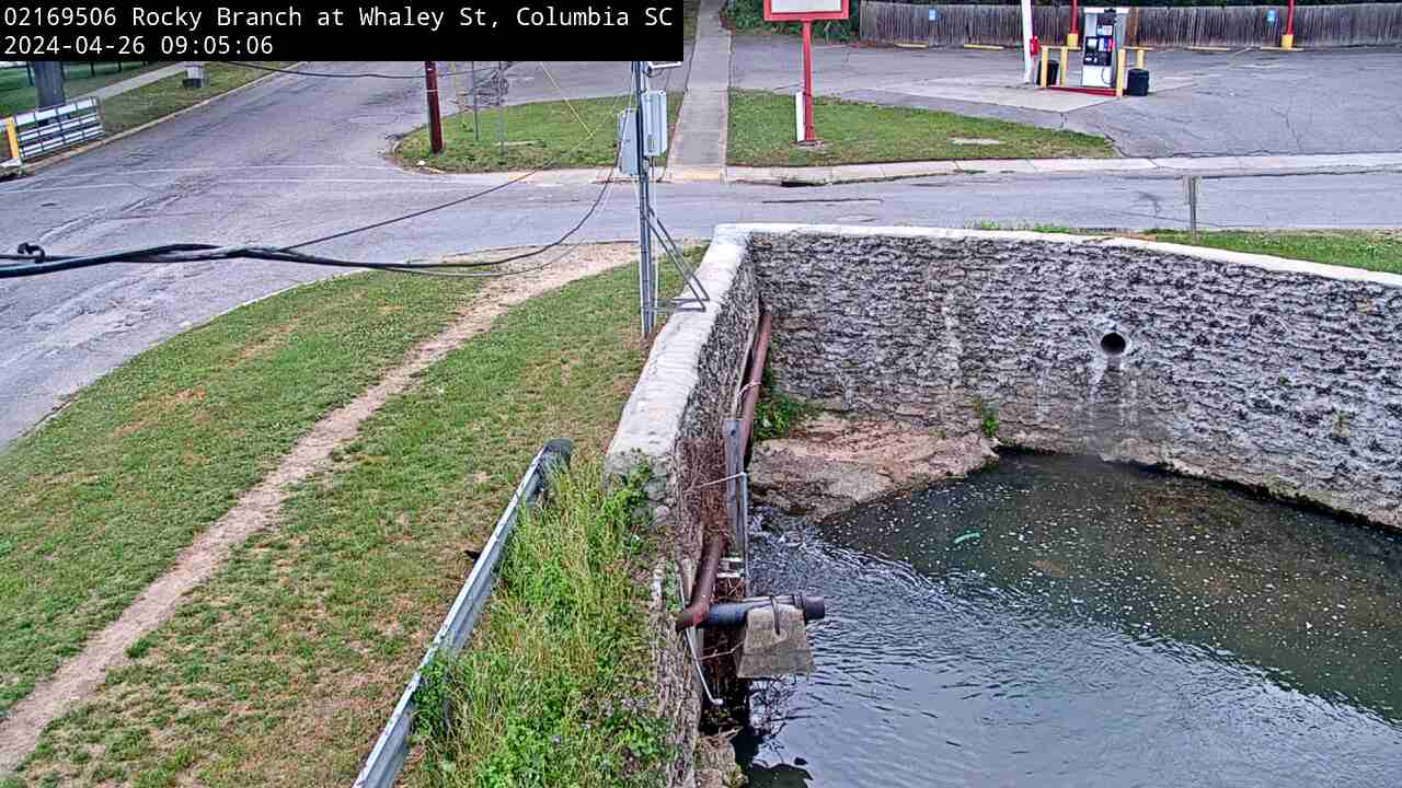
We have installed a webcam at the Rocky Branch at Whaley St. to allow you to view, in real time, the current river-stage conditions.
During periods of flooding, the South Atlantic Water Science Center - South Carolina will take control of the camera.
We have installed a webcam at the Rocky Branch at Whaley St. to allow you to view, in real time, the current river-stage conditions.
During periods of flooding, the South Atlantic Water Science Center - South Carolina will take control of the camera.
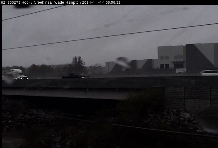
We have installed a webcam at Rocky Creek, near Wade Hampton, to allow you to view (in real time) the current river-stage conditions.
During periods of flooding, the South Atlantic Water Science Center - South Carolina will take control of the camera.
We have installed a webcam at Rocky Creek, near Wade Hampton, to allow you to view (in real time) the current river-stage conditions.
During periods of flooding, the South Atlantic Water Science Center - South Carolina will take control of the camera.
This image is from a research camera positioned on the northwest flank of Puʻu ʻŌʻō, looking southwest. On the morning of May 24, 2016, this camera was rotated to be pointed northeast to follow a new breakout on the east flank of Puʻu ʻŌʻō.
Disclaimer
This image is from a research camera positioned on the northwest flank of Puʻu ʻŌʻō, looking southwest. On the morning of May 24, 2016, this camera was rotated to be pointed northeast to follow a new breakout on the east flank of Puʻu ʻŌʻō.
Disclaimer
This image is from a research camera positioned on the southeast flank of Puʻu ʻŌʻō, looking toward the southeast.
This image is from a research camera positioned on the southeast flank of Puʻu ʻŌʻō, looking toward the southeast.

Camera is located at Whale Mountain, showing a flank of Peulik, Becharof Lake, the Gas Rocks, and Chiginagak in the distance. Current image interval is 60 minutes. This camera lens is often covered by snow and ice.
Camera is located at Whale Mountain, showing a flank of Peulik, Becharof Lake, the Gas Rocks, and Chiginagak in the distance. Current image interval is 60 minutes. This camera lens is often covered by snow and ice.