
A view looking north into Halema‘uma‘u, at Kīlauea's summit, on September 24, 2021, seen during a brief clear spell between passing rain clouds. There has been no significant change in the surface elevation of the solidified crust of the lava lake since the eruption paused in late May 2021.
All Multimedia
Access all multimedia to include images, video, audio, webcams, before-after imagery, and more. Filter and explore with filtering options to refine search.
Filter Total Items: 26026

View of Halema‘uma‘u at Kīlauea summit - September 24, 2021
A view looking north into Halema‘uma‘u, at Kīlauea's summit, on September 24, 2021, seen during a brief clear spell between passing rain clouds. There has been no significant change in the surface elevation of the solidified crust of the lava lake since the eruption paused in late May 2021.

USGS Outstanding in the Field: Biocrusts (Ep. 9)
Welcome to another episode of Outstanding in the Field, the U.S. Geological Survey’s podcast series produced by the Ecosystems Mission Area. We highlight our fun and fascinating fieldwork studying ecosystems across the country. Today we’ll be discussing tiny communities that are found on the surface of the soil in the harsh environments of cold and hot deserts.
Welcome to another episode of Outstanding in the Field, the U.S. Geological Survey’s podcast series produced by the Ecosystems Mission Area. We highlight our fun and fascinating fieldwork studying ecosystems across the country. Today we’ll be discussing tiny communities that are found on the surface of the soil in the harsh environments of cold and hot deserts.

PubTalk - 9/2021: Modernizing the National Water Information System
Modernizing the National Water Information System: Charting the Course for Delivering Water Data in the 21st Century
By: Daniel Pearson, USGS NWIS Modernization Program Manager, Water Mission Area
Modernizing the National Water Information System: Charting the Course for Delivering Water Data in the 21st Century
By: Daniel Pearson, USGS NWIS Modernization Program Manager, Water Mission Area

Landsat 9 Launch Trajectory Animation
When #Landsat9 is launched from Lompoc, CA, a ULA Atlas V booster will lift it out over the Pacific Ocean, over 2,500 miles away in the first 15 minutes, rising quickly. If all goes as expected, about an hour later Landsat 9 will be in orbit, 438 miles high, falling around the Earth at 16,760 miles per hour, positioned to capture years of imagery.
When #Landsat9 is launched from Lompoc, CA, a ULA Atlas V booster will lift it out over the Pacific Ocean, over 2,500 miles away in the first 15 minutes, rising quickly. If all goes as expected, about an hour later Landsat 9 will be in orbit, 438 miles high, falling around the Earth at 16,760 miles per hour, positioned to capture years of imagery.

Landsat Launches - Looking Back
A short look back at the the history of Landsat launches through the historic articles of the Lompoc Record publication.
A short look back at the the history of Landsat launches through the historic articles of the Lompoc Record publication.
")
Landsat Launches - Looking Back (AD)
[Audio Descriptions]
A short look back at the the history of Landsat launches through the historic articles of the Lompoc Record publication.
[Audio Descriptions]
A short look back at the the history of Landsat launches through the historic articles of the Lompoc Record publication.
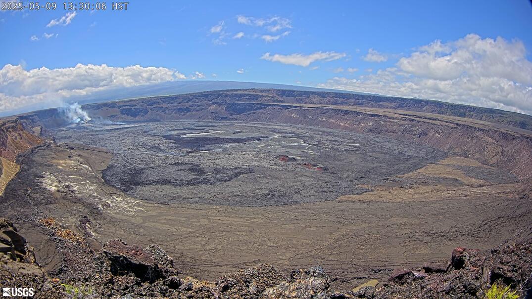
[B1cam] - Kīlauea caldera down-dropped block and Halemaʻumaʻu
Live view of Kīlauea caldera down-dropped block and Halemaʻumaʻu crater from the east rim of the caldera.
Live view of Kīlauea caldera down-dropped block and Halemaʻumaʻu crater from the east rim of the caldera.
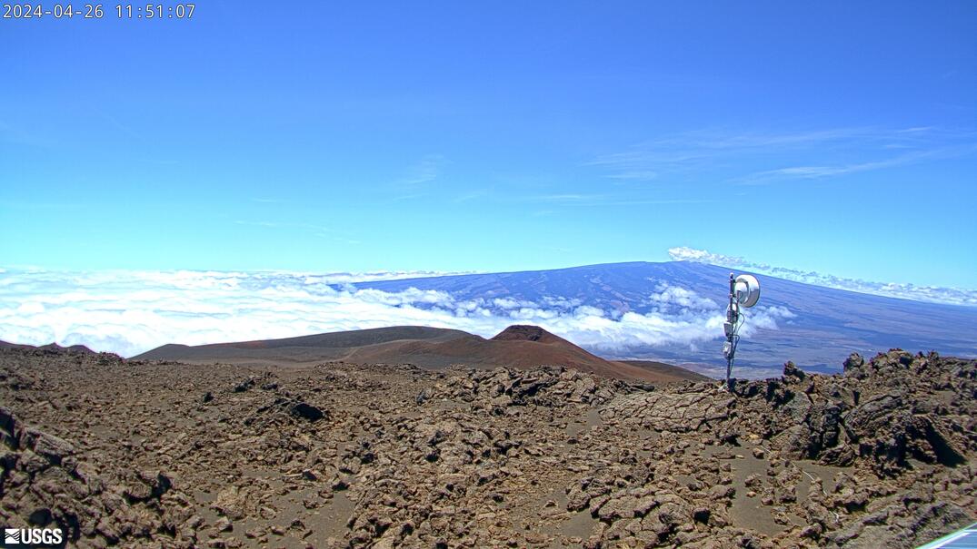
[MKcam]: Mauna Loa's Summit and Northeast Rift Zone from Mauna Kea
Live Image of Mauna Loa's Summit and Northeast Rift Zone from Mauna Kea [MKcam].
Live Image of Mauna Loa's Summit and Northeast Rift Zone from Mauna Kea [MKcam].
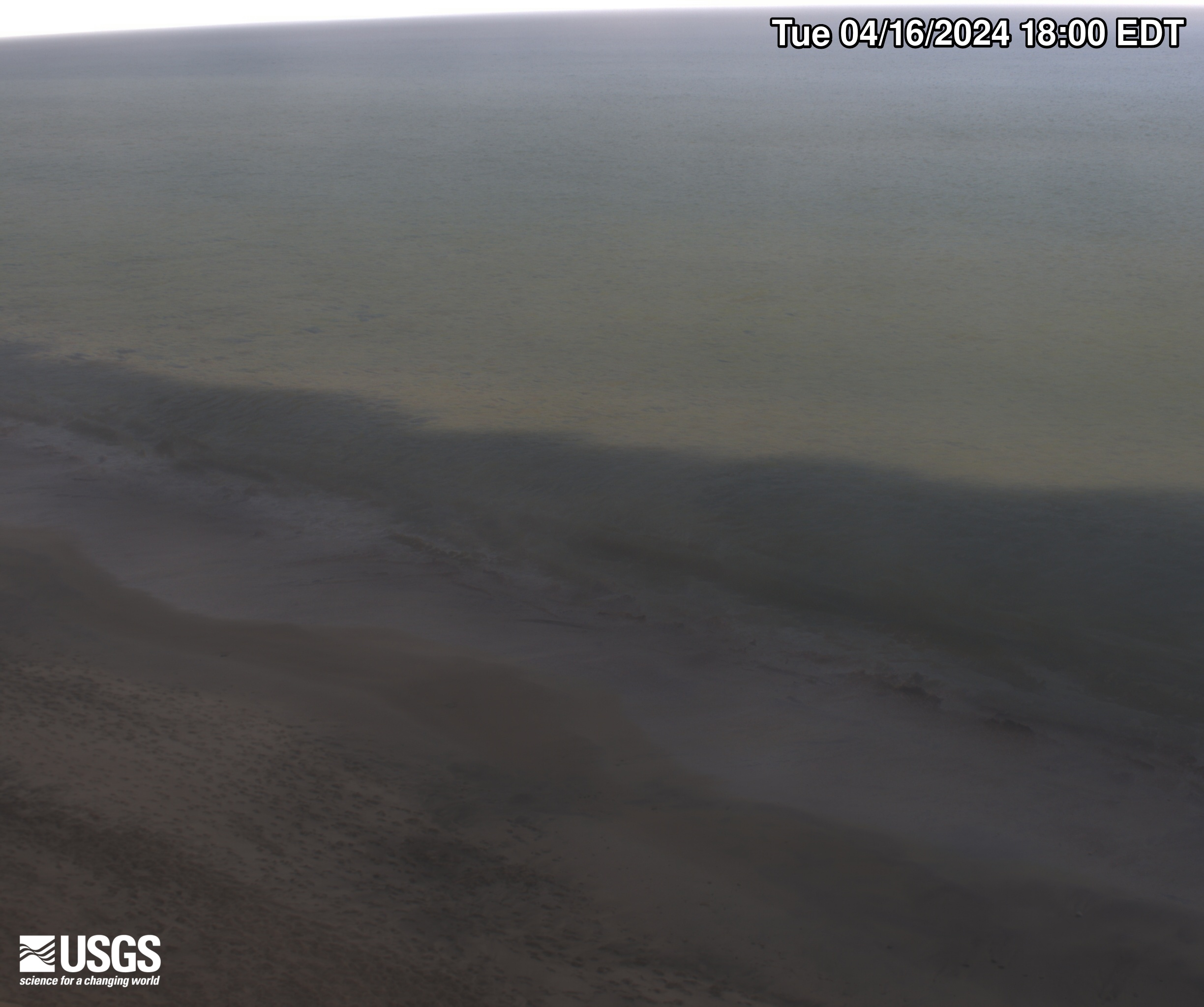
Marconi Beach video camera 1 dark image
Two video cameras are mounted on a bluff above Marconi Beach, Cape Cod National Seashore, Wellfleet, MA. Every half hour, the video cameras collect imagery for 10 minutes. This is the “dark” image, the darkest pixel values throughout the video, useful for tracking sediment plumes, tracking floating debris, and filtering out breaking waves.
Two video cameras are mounted on a bluff above Marconi Beach, Cape Cod National Seashore, Wellfleet, MA. Every half hour, the video cameras collect imagery for 10 minutes. This is the “dark” image, the darkest pixel values throughout the video, useful for tracking sediment plumes, tracking floating debris, and filtering out breaking waves.

Marconi Beach video camera 1 variance image
Two video cameras are mounted on a bluff above Marconi Beach, Cape Cod National Seashore, Wellfleet, MA. Every half hour, the video cameras collect imagery for 10 minutes.
Two video cameras are mounted on a bluff above Marconi Beach, Cape Cod National Seashore, Wellfleet, MA. Every half hour, the video cameras collect imagery for 10 minutes.
Marconi Beach video camera 2 dark image
Two video cameras are mounted on a bluff above Marconi Beach, Cape Cod National Seashore, Wellfleet, MA. Every half hour, the video cameras collect imagery for 10 minutes. This is the “dark” image, the darkest pixel values throughout the video, useful for tracking sediment plumes, tracking floating debris, and filtering out breaking waves.
Two video cameras are mounted on a bluff above Marconi Beach, Cape Cod National Seashore, Wellfleet, MA. Every half hour, the video cameras collect imagery for 10 minutes. This is the “dark” image, the darkest pixel values throughout the video, useful for tracking sediment plumes, tracking floating debris, and filtering out breaking waves.

Marconi Beach video camera 2 variance image
Two video cameras are mounted on a bluff above Marconi Beach, Cape Cod National Seashore, Wellfleet, MA. Every half hour, the video cameras collect imagery for 10 minutes.
Two video cameras are mounted on a bluff above Marconi Beach, Cape Cod National Seashore, Wellfleet, MA. Every half hour, the video cameras collect imagery for 10 minutes.

Marconi Beach video camera 1 bright image
Two video cameras are mounted on a bluff above Marconi Beach, Cape Cod National Seashore, Wellfleet, MA. Every half hour, the video cameras collect imagery for 10 minutes.
Two video cameras are mounted on a bluff above Marconi Beach, Cape Cod National Seashore, Wellfleet, MA. Every half hour, the video cameras collect imagery for 10 minutes.
Marconi Beach video camera 1 snapshot
Two video cameras are mounted on a bluff above Marconi Beach, Cape Cod National Seashore, Wellfleet, MA. Every half hour during daylight hours, the video camera collects imagery for 10 minutes and processes it. This is the snapshot image, like a photo, taken at the beginning of the 10-minute window and looking northeast.
Two video cameras are mounted on a bluff above Marconi Beach, Cape Cod National Seashore, Wellfleet, MA. Every half hour during daylight hours, the video camera collects imagery for 10 minutes and processes it. This is the snapshot image, like a photo, taken at the beginning of the 10-minute window and looking northeast.
Marconi Beach video camera 1 timex image
Two video cameras are mounted on a bluff above Marconi Beach, Cape Cod National Seashore, Wellfleet, MA. Every half hour, the video cameras collect imagery for 10 minutes.
Two video cameras are mounted on a bluff above Marconi Beach, Cape Cod National Seashore, Wellfleet, MA. Every half hour, the video cameras collect imagery for 10 minutes.

Marconi Beach video camera 2 bright image
Two video cameras are mounted on a bluff above Marconi Beach, Cape Cod National Seashore, Wellfleet, MA. Every half hour, the video cameras collect imagery for 10 minutes.
Two video cameras are mounted on a bluff above Marconi Beach, Cape Cod National Seashore, Wellfleet, MA. Every half hour, the video cameras collect imagery for 10 minutes.

Marconi Beach video camera 2 snapshot
Two video cameras are mounted on a bluff above Marconi Beach, Cape Cod National Seashore, Wellfleet, MA. Every half hour during daylight hours, the video camera collects imagery for 10 minutes and processes it. This is the snapshot image, like a photo, taken at the beginning of the 10-minute window and looking east.
Two video cameras are mounted on a bluff above Marconi Beach, Cape Cod National Seashore, Wellfleet, MA. Every half hour during daylight hours, the video camera collects imagery for 10 minutes and processes it. This is the snapshot image, like a photo, taken at the beginning of the 10-minute window and looking east.

Marconi Beach video camera 2 timex image
Two video cameras are mounted on a bluff above Marconi Beach, Cape Cod National Seashore, Wellfleet, MA. Every half hour, the video cameras collect imagery for 10 minutes.
Two video cameras are mounted on a bluff above Marconi Beach, Cape Cod National Seashore, Wellfleet, MA. Every half hour, the video cameras collect imagery for 10 minutes.
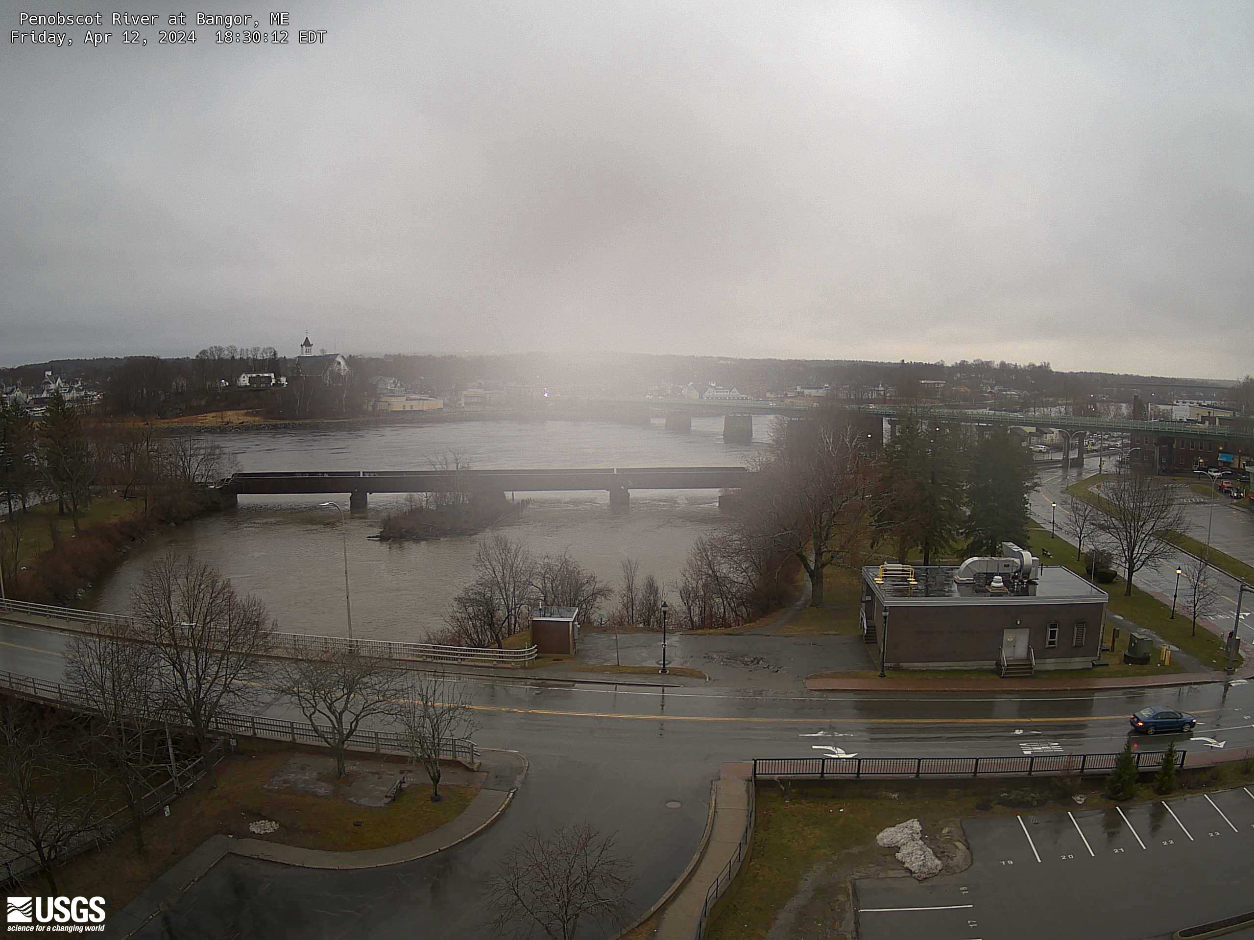
Penobscot River at Bangor, Maine (01037050)
An overhead view from a USGS webcam of Penobscot River at Bangor, Maine (01037050)
An overhead view from a USGS webcam of Penobscot River at Bangor, Maine (01037050)
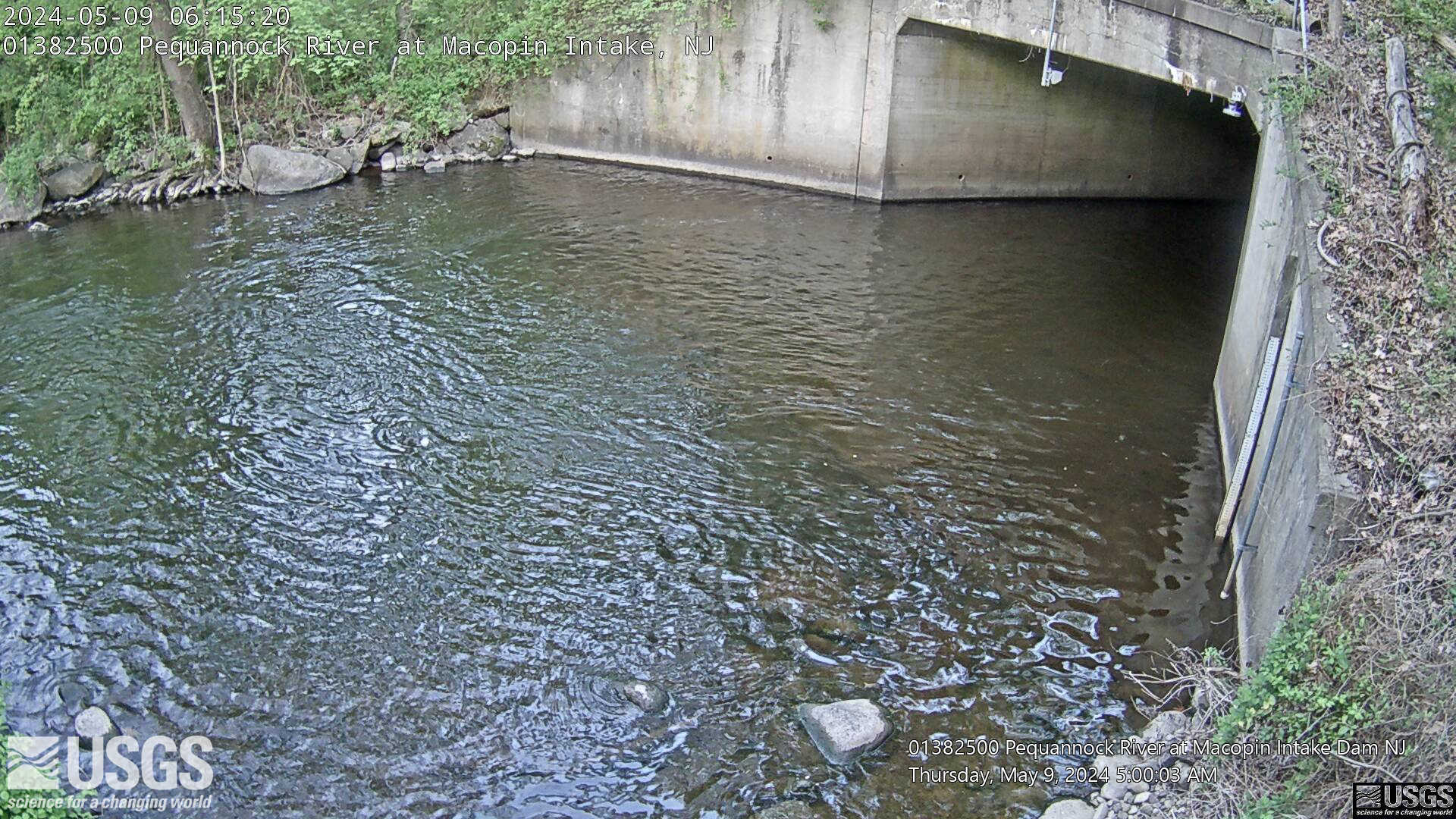
Streamgage 01382500 Pequannock R at Macopin Intake Dam, NJ
Webcam at USGS Streamgage 01382500 Pequannock River at Macopin Intake Dam, NJ
Visit Water Data For the Nation to get current data for this site.
Webcam at USGS Streamgage 01382500 Pequannock River at Macopin Intake Dam, NJ
Visit Water Data For the Nation to get current data for this site.
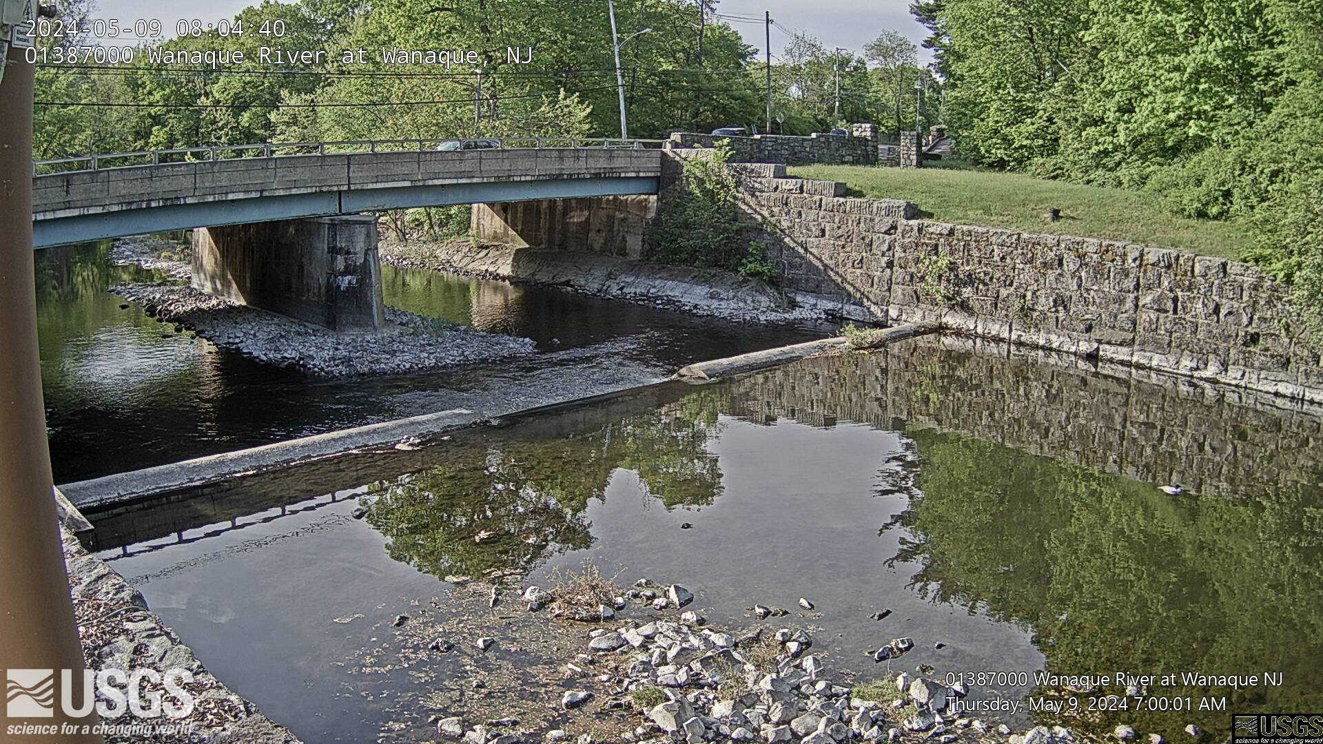
Streamgage 01387000 Wanaque River at Wanaque, NJ
Webcam at USGS Streamgage 01387000 Wanaque River at Wanaque, NJ.
Visit Water Data For the Nation to get current data for this site.
Webcam at USGS Streamgage 01387000 Wanaque River at Wanaque, NJ.
Visit Water Data For the Nation to get current data for this site.