
USGS Oklahoma-Texas Water Science Center gaging station camera. USGS Gaging Station 08158840
Webcams
The USGS maintains a variety of webcams across the U.S. These webcams provide valuable research information and data to the USGS scientists, the National Weather Service, emergency managers, and area residents to evaluate near, real-time conditions during natural hazard events (most webcams refresh every 5 - 20 minutes).
Filter Total Items: 319
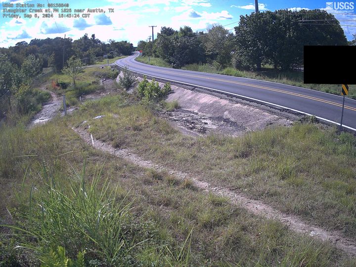
Slaughter Creek at FM 1826 near Austin, TX
USGS Oklahoma-Texas Water Science Center gaging station camera. USGS Gaging Station 08158840
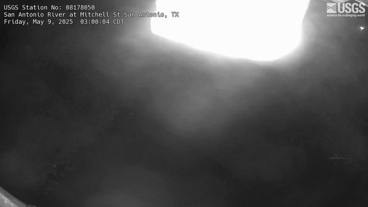
San Antonio River at Mitchell St, San Antonio, TX
USGS Oklahoma-Texas Water Science Center gaging station camera. USGS Gaging Station 08178050
USGS Oklahoma-Texas Water Science Center gaging station camera. USGS Gaging Station 08178050
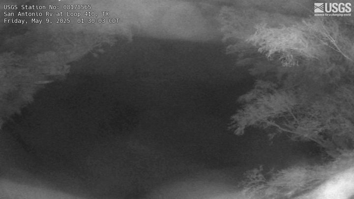
San Antonio River at Loop 410, San Antonio, TX
USGS Oklahoma-Texas Water Science Center gaging station camera. USGS Gaging Station 08178565
USGS Oklahoma-Texas Water Science Center gaging station camera. USGS Gaging Station 08178565
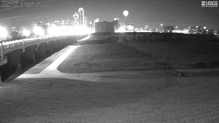
Trinity River at Dallas,TX
USGS Oklahoma-Texas Water Science Center gaging station camera. USGS Gaging Station 08057000
USGS Oklahoma-Texas Water Science Center gaging station camera. USGS Gaging Station 08057000
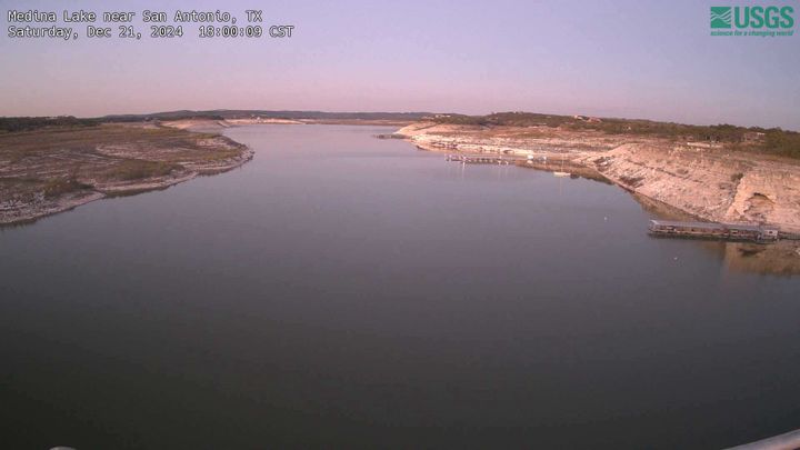
Medina Lake near San Antonio, TX
USGS Oklahoma-Texas Water Science Center gaging station camera. USGS Gaging Station 08179500
USGS Oklahoma-Texas Water Science Center gaging station camera. USGS Gaging Station 08179500
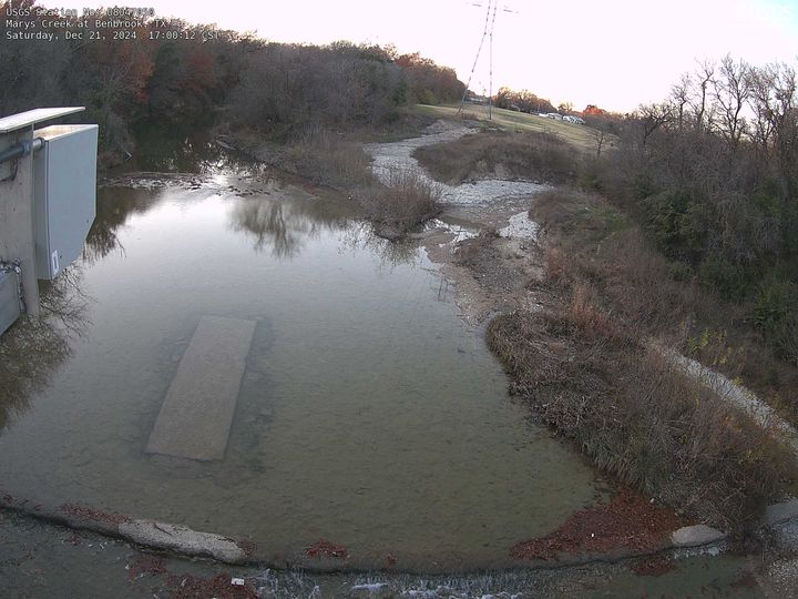
Marys Creek at Benbrook, TX
USGS Oklahoma-Texas Water Science Center gaging station camera. USGS Gaging Station 08047050
USGS Oklahoma-Texas Water Science Center gaging station camera. USGS Gaging Station 08047050
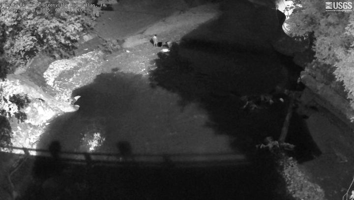
White Rock Creek at Greenville Ave, Dallas, TX
USGS Oklahoma-Texas Water Science Center gaging station camera. USGS Gaging Station 08057200
USGS Oklahoma-Texas Water Science Center gaging station camera. USGS Gaging Station 08057200
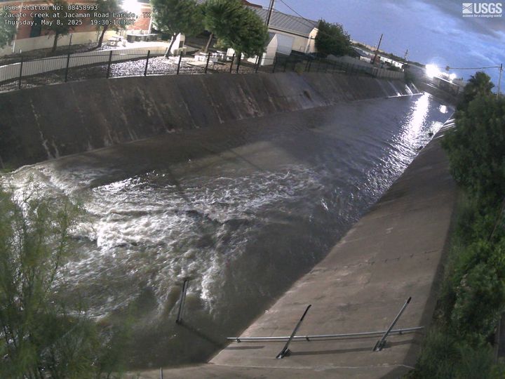
Zacate Creek at Jacaman Road, Laredo, TX
USGS Oklahoma-Texas Water Science Center gaging station camera. USGS Gaging Station 08458993
USGS Oklahoma-Texas Water Science Center gaging station camera. USGS Gaging Station 08458993

Conveyance Chain at Ramsgate Lane, Hampton Roads
Most recent imagery from USGS site 0204309906, the conveyance chain at Ramsgate Lane in Hampton Roads, Virginia. Visit the webcam site for previous images, timelapse video, and measured parameters.
Most recent imagery from USGS site 0204309906, the conveyance chain at Ramsgate Lane in Hampton Roads, Virginia. Visit the webcam site for previous images, timelapse video, and measured parameters.
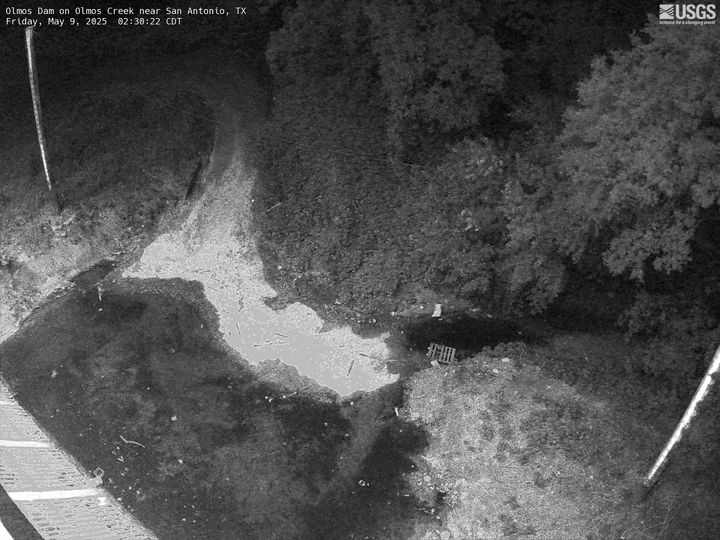
Olmos Dam on Olmos Creek near San Antonio
USGS Oklahoma-Texas Water Science Center gaging station camera at Olmos Dam in San Antonio, TX
USGS Oklahoma-Texas Water Science Center gaging station camera at Olmos Dam in San Antonio, TX
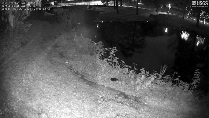
Turtle Creek at Dallas, TX
USGS Oklahoma-Texas Water Science Center gaging station camera. USGS Gaging Station 08056500
USGS Oklahoma-Texas Water Science Center gaging station camera. USGS Gaging Station 08056500

Manadas Creek Tributary at Bristol Road near Laredo, TX
USGS Oklahoma-Texas Water Science Center gaging station camera. USGS Gaging Station 08458980
USGS Oklahoma-Texas Water Science Center gaging station camera. USGS Gaging Station 08458980

Long Branch at Olley Lane
Most recent imagery of the Long Branch stream in Fairfax VA. Visit the webcam site for previous images, timelapse video, and measured parameters.
This webcam is a part of the Fairfax County Water Resources Monitoring Network.
Most recent imagery of the Long Branch stream in Fairfax VA. Visit the webcam site for previous images, timelapse video, and measured parameters.
This webcam is a part of the Fairfax County Water Resources Monitoring Network.
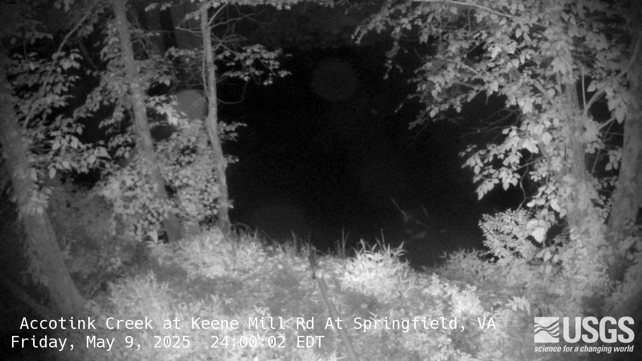
Accotink Creek at Keene Mill Road At Springfield
Most recent imagery of the Accotink Creek stream in Fairfax VA. Visit the webcam site for previous images, timelapse video, and measured parameters.
Most recent imagery of the Accotink Creek stream in Fairfax VA. Visit the webcam site for previous images, timelapse video, and measured parameters.
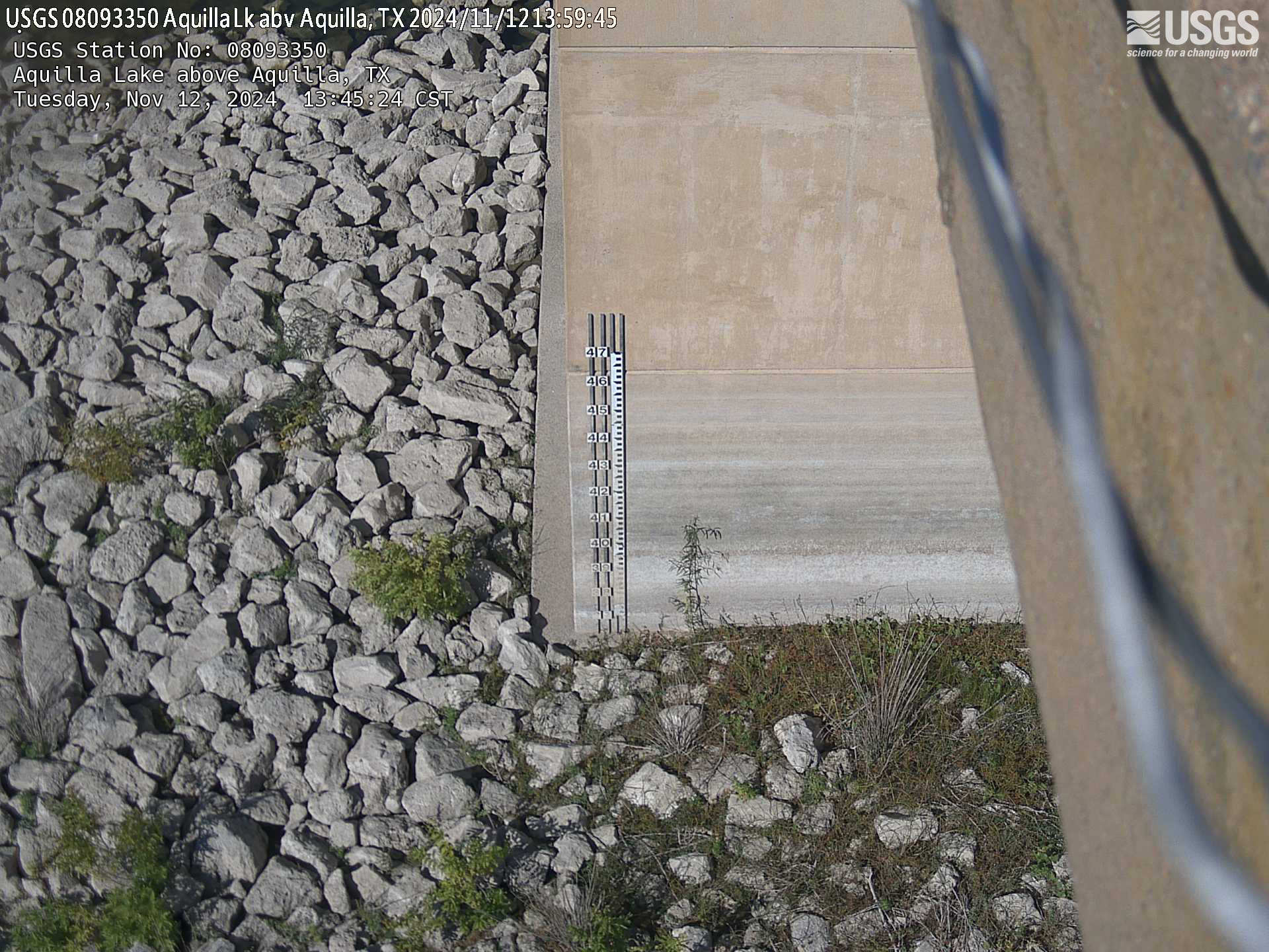
Aquilla Lake above Aquilla, TX
USGS Oklahoma-Texas Water Science Center gaging station camera. USGS Gaging Station 08093350
USGS Oklahoma-Texas Water Science Center gaging station camera. USGS Gaging Station 08093350

New Year Creek at FM 1155 near Chappel Hill, TX
USGS Oklahoma-Texas Water Science Center gaging station camera. USGS Gaging Station 08111110.
USGS Oklahoma-Texas Water Science Center gaging station camera. USGS Gaging Station 08111110.
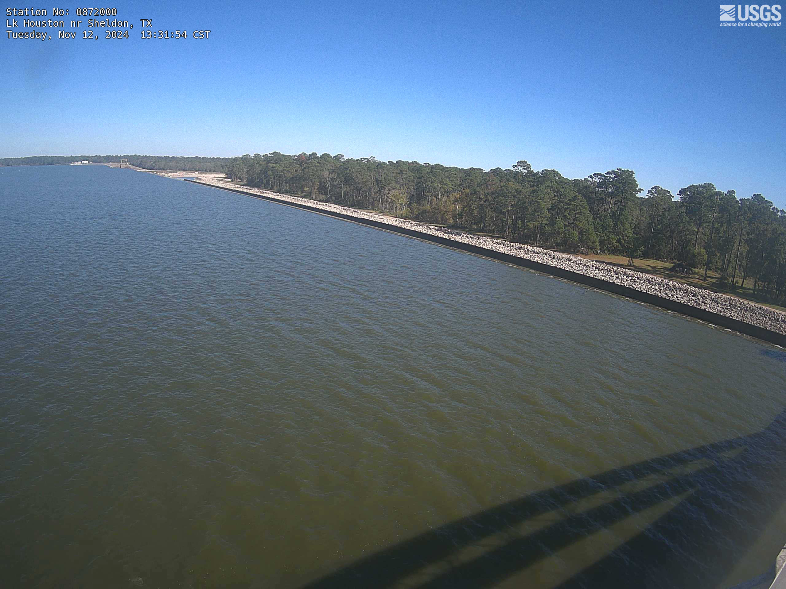
Lake Houston near Sheldon, TX
USGS Oklahoma-Texas Water Science Center gaging station camera. USGS Gaging Station 08072000 .
USGS Oklahoma-Texas Water Science Center gaging station camera. USGS Gaging Station 08072000 .
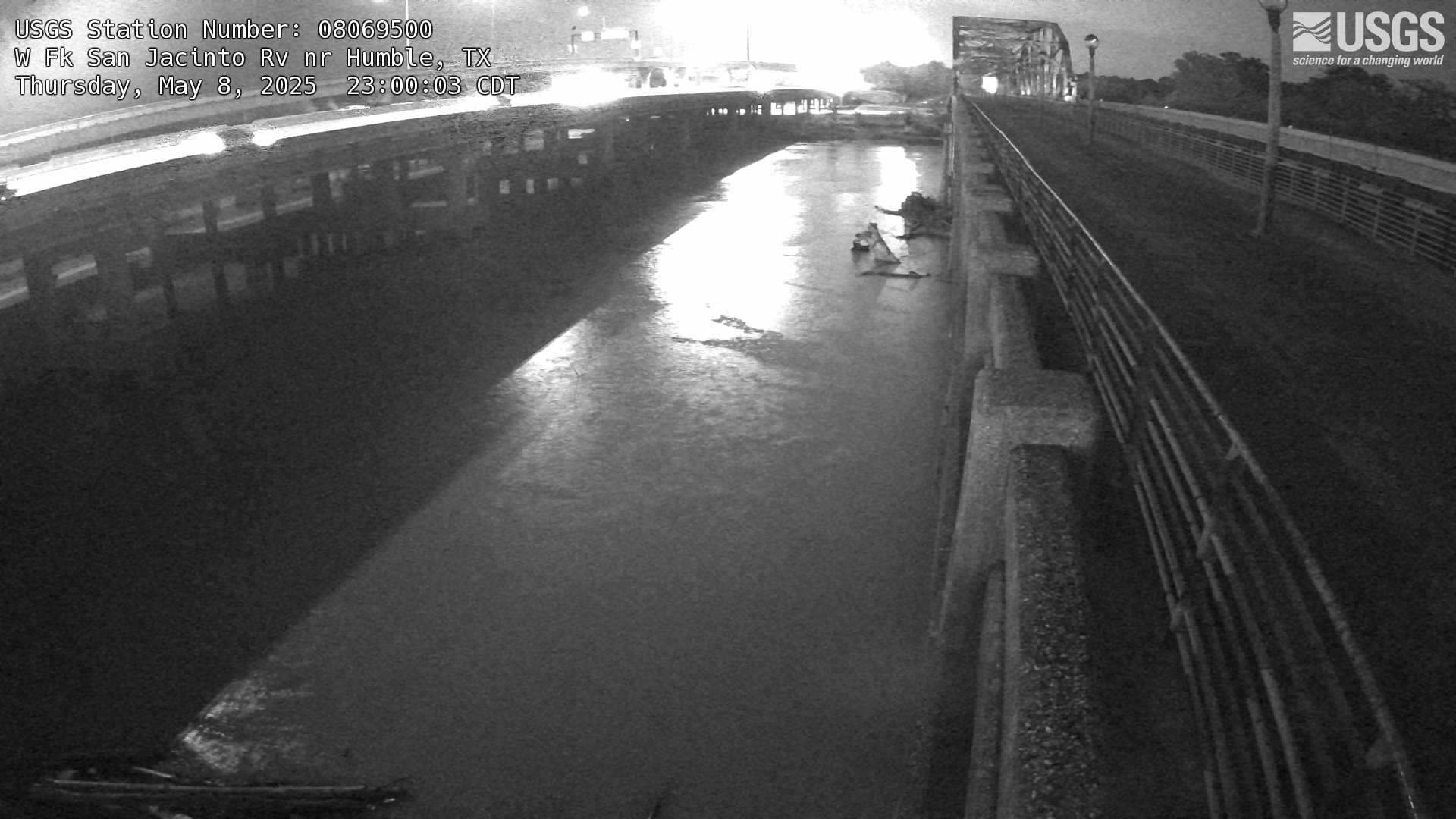
West Fork San Jacinto River near Humble, TX
USGS Oklahoma-Texas Water Science Center gaging station camera. USGS Gaging Station 08069500 .
USGS Oklahoma-Texas Water Science Center gaging station camera. USGS Gaging Station 08069500 .

San Antonio River at East Nueva St in San Antonio, TX
USGS Oklahoma-Texas Water Science Center gaging station camera. USGS Gaging Station 89898989 .
USGS Oklahoma-Texas Water Science Center gaging station camera. USGS Gaging Station 89898989 .
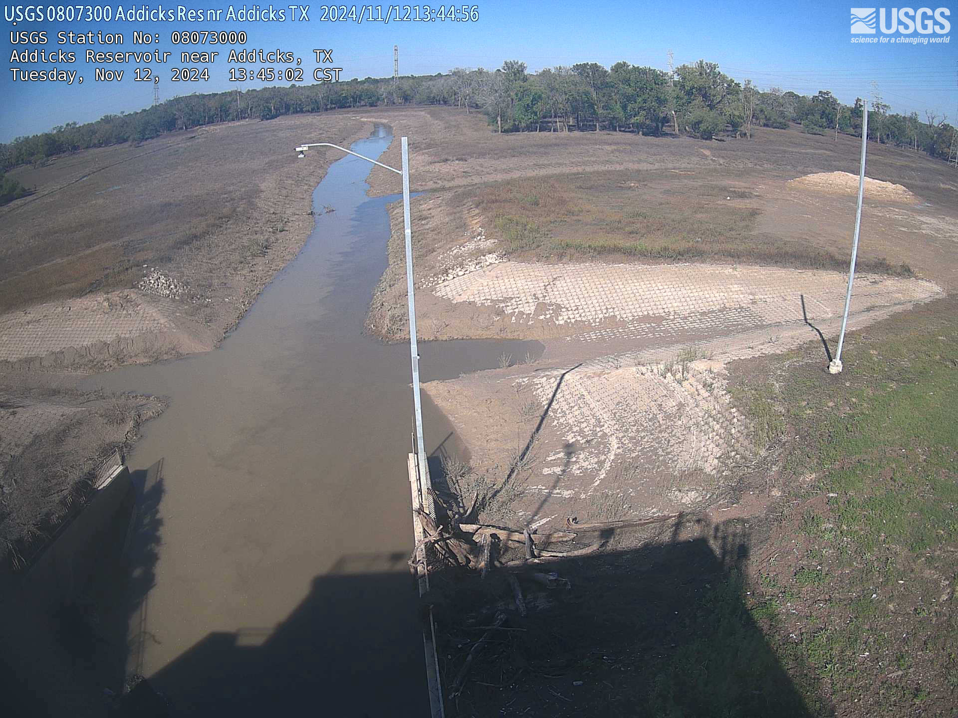
Addicks Reservoir near Addicks, TX
USGS Oklahoma-Texas Water Science Center gaging station camera. USGS Gaging Station 08073000.
USGS Oklahoma-Texas Water Science Center gaging station camera. USGS Gaging Station 08073000.