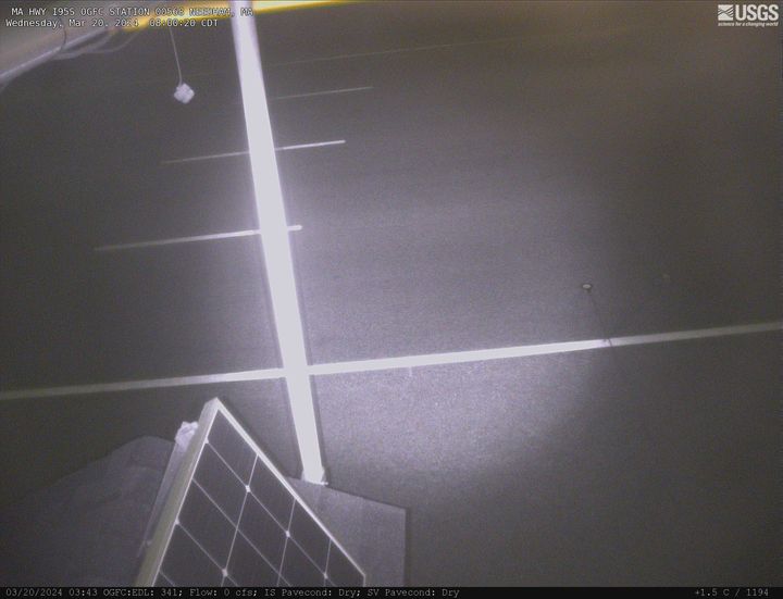
Two video cameras overlook the coast from atop a windmill tower in Unalakleet, Alaska where they look westward over Norton Sound. Every half hour during daylight hours, the cameras collect snapshots and video for 10 minutes. Today’s most recent image from camera 2 is shown here.
Webcams
Settings
The USGS maintains a variety of webcams across the U.S. These webcams provide valuable research information and data to the USGS scientists, the National Weather Service, emergency managers, and area residents to evaluate near, real-time conditions during natural hazard events (most webcams refresh every 5 - 20 minutes).
Two video cameras overlook the coast from atop a windmill tower in Unalakleet, Alaska where they look westward over Norton Sound. Every half hour during daylight hours, the cameras collect snapshots and video for 10 minutes. Today’s most recent image from camera 2 is shown here.
We have installed a webcam at Tearcoat Branch at I-95, near Manning to allow you to view (in real time) the current river-stage conditions.
During periods of flooding, the South Atlantic Water Science Center will take control of the camera.
We have installed a webcam at Tearcoat Branch at I-95, near Manning to allow you to view (in real time) the current river-stage conditions.
During periods of flooding, the South Atlantic Water Science Center will take control of the camera.
We have installed a webcam at the Withlacoochee River at Skipper Bridge Rd. near Bemiss, GA to allow you to view, in real time, the current river-stage conditions.
During periods of flooding, the South Atlantic Water Science Center will take control of the camera.
We have installed a webcam at the Withlacoochee River at Skipper Bridge Rd. near Bemiss, GA to allow you to view, in real time, the current river-stage conditions.
During periods of flooding, the South Atlantic Water Science Center will take control of the camera.
This webcam is located at USGS streamgage 11160500 on San Lorenzo River at Big Trees State Park. This station provides continuous monitoring of river stage.
The Illinois River Floatcam is located at USGS station 07196320 on the Illinois River near Moodys, OK (Combs Bridge), about 36 miles downstream from the Arkansas state line.
PLEASE NOTE: During winter months, ice and snow can affect the picture quality. The camera is cleaned as often as it is safe to do so.
Lake Champlain at Port Henry, NY (04294413)
PLEASE NOTE: During winter months, ice and snow can affect the picture quality. The camera is cleaned as often as it is safe to do so.
Lake Champlain at Port Henry, NY (04294413)
Latest webcam image of Reynolds Channel (01310740).
Image timestamp is in Eastern Standard Time.
Webcam is located on tower at USGS gaging station, looking west-northwest toward Loop Parkway Bridge.
Latest webcam image of Reynolds Channel (01310740).
Image timestamp is in Eastern Standard Time.
Webcam is located on tower at USGS gaging station, looking west-northwest toward Loop Parkway Bridge.
Video camera snapshot at Cowells Beach in Santa Cruz, California, looking southward. Learn more about the cameras and how we're using them to study coastal change.
Video camera time-exposure image at Cowells Beach in Santa Cruz, California, looking southward. Learn more about the cameras and how we're using them to study coastal change.
Video camera time-exposure image at Main Beach in Santa Cruz, California, looking eastward. Learn more about the cameras and how we're using them to study coastal change.
We have installed a webcam at the Lake Moultrie Tailrace Canal at Moncks Corner, SC to allow you to view, in real time, the current river-stage conditions.
During periods of flooding, the South Atlantic Water Science Center - South Carolina will take control of the camera.
We have installed a webcam at the Lake Moultrie Tailrace Canal at Moncks Corner, SC to allow you to view, in real time, the current river-stage conditions.
During periods of flooding, the South Atlantic Water Science Center - South Carolina will take control of the camera.
Richelieu River (Lake Champlain) at Rouses Point, NY from USGS gaging station (04295000)
This image is from a research camera positioned on a cone in Mauna Loa's Southwest Rift Zone in Hawaiʻi Volcanoes National Park. The camera looks northeast (upslope), focusing on the middle part of the Southwest Rift Zone. The volcano's summit is at upper right.
Disclaimer
This image is from a research camera positioned on a cone in Mauna Loa's Southwest Rift Zone in Hawaiʻi Volcanoes National Park. The camera looks northeast (upslope), focusing on the middle part of the Southwest Rift Zone. The volcano's summit is at upper right.
Disclaimer
This image is from a research camera positioned on a cone in Mauna Loa's Southwest Rift Zone in Hawaiʻi Volcanoes National Park. The camera looks northeast (upslope), focusing on the upper part of the Southwest Rift Zone. The upper flank of Mauna Loa forms the skyline.
Disclaimer
This image is from a research camera positioned on a cone in Mauna Loa's Southwest Rift Zone in Hawaiʻi Volcanoes National Park. The camera looks northeast (upslope), focusing on the upper part of the Southwest Rift Zone. The upper flank of Mauna Loa forms the skyline.
Disclaimer
The webcam is located on a gaging station (06934500) on the Missouri River in Hermann, MO. View the current conditions at the gaging station.
We have installed a webcam at the Rocky Branch at Whaley St. to allow you to view, in real time, the current river-stage conditions.
During periods of flooding, the South Atlantic Water Science Center - South Carolina will take control of the camera.
We have installed a webcam at the Rocky Branch at Whaley St. to allow you to view, in real time, the current river-stage conditions.
During periods of flooding, the South Atlantic Water Science Center - South Carolina will take control of the camera.