
This image is from a temporary research camera positioned northeast of Puʻu ʻŌʻō, on Puʻu Halulu, looking southwest toward the northeast flank of Puʻu ʻŌʻō.
Disclaimer
Webcams
Total: 0
Settings
Total: 0
The USGS maintains a variety of webcams across the U.S. These webcams provide valuable research information and data to the USGS scientists, the National Weather Service, emergency managers, and area residents to evaluate near, real-time conditions during natural hazard events (most webcams refresh every 5 - 20 minutes).
Filter Total Items: 260

[PEcam] Puʻu ʻŌʻō East Flank from East of Puʻu ʻŌʻō
This image is from a temporary research camera positioned northeast of Puʻu ʻŌʻō, on Puʻu Halulu, looking southwest toward the northeast flank of Puʻu ʻŌʻō.
Disclaimer
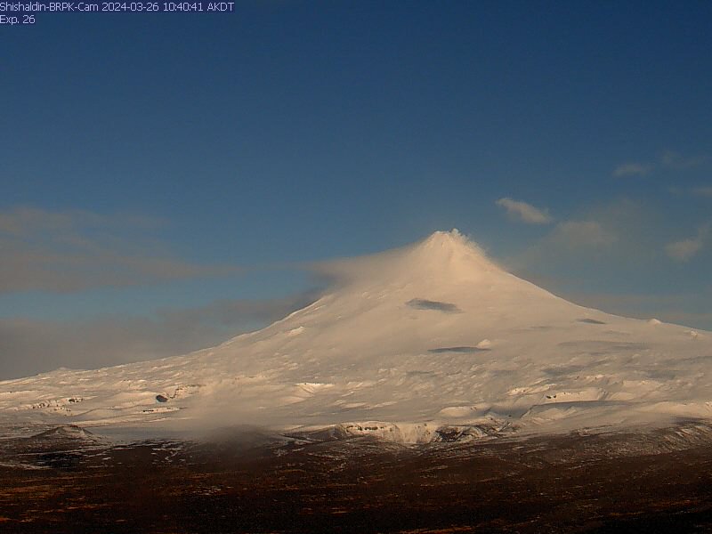
Shishaldin Volcano BRPK
View from the webcam located at Shishaldin Volcano, hosted by AVO. Read more details about Shishaldin Volcano.
View from the webcam located at Shishaldin Volcano, hosted by AVO. Read more details about Shishaldin Volcano.

Makushin Volcano [MREP]
This camera is located at MREP, on the southeast flank of Makushin, and looks northwest towards Makushin's summit. Read more about Makushin volcano.
This camera is located at MREP, on the southeast flank of Makushin, and looks northwest towards Makushin's summit. Read more about Makushin volcano.
Okmok OKIF
View of the webcam from Okmok OKIF from the AVO. Read more details about Okmok volcano.
View of the webcam from Okmok OKIF from the AVO. Read more details about Okmok volcano.
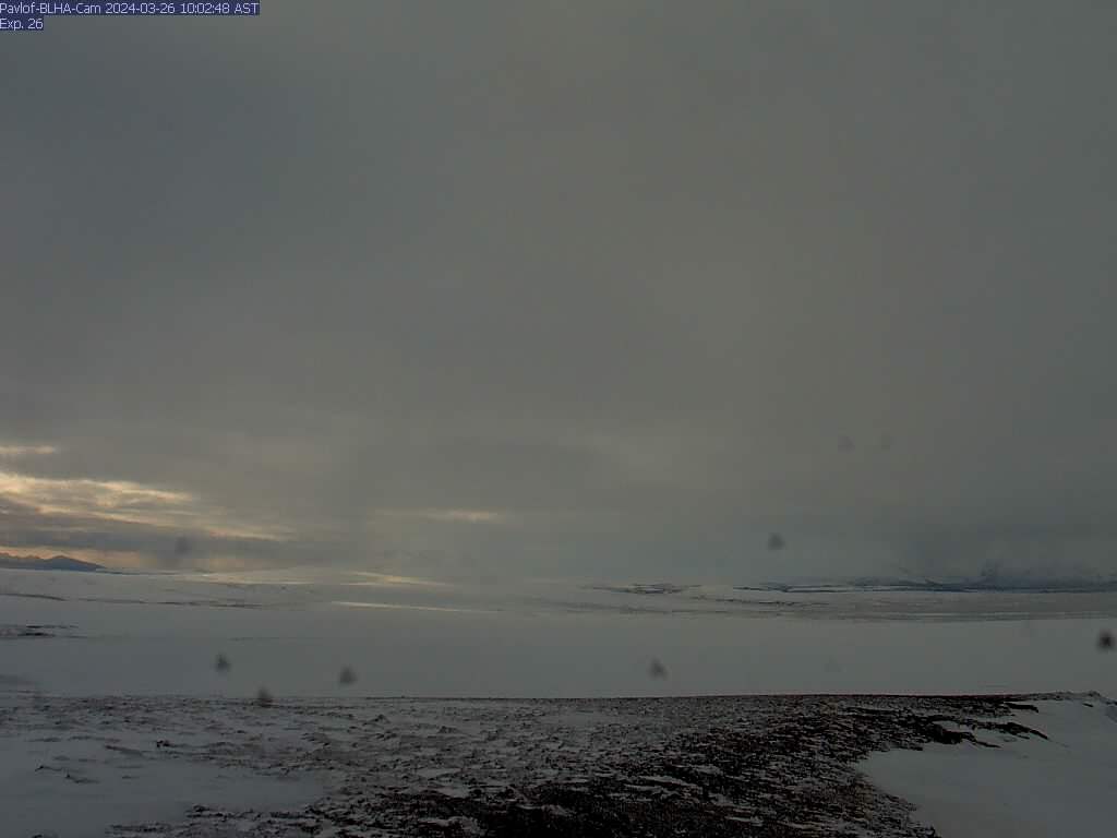
Pavlof - BLHA
There is a known issue with the timestamp on images from this camera: they are an hour ahead. AVO is working on a solution for this problem. This camera is co-located with seismic station BLHA, and looks southwest to Pavlof. Read more about Pavlof volcano.
There is a known issue with the timestamp on images from this camera: they are an hour ahead. AVO is working on a solution for this problem. This camera is co-located with seismic station BLHA, and looks southwest to Pavlof. Read more about Pavlof volcano.
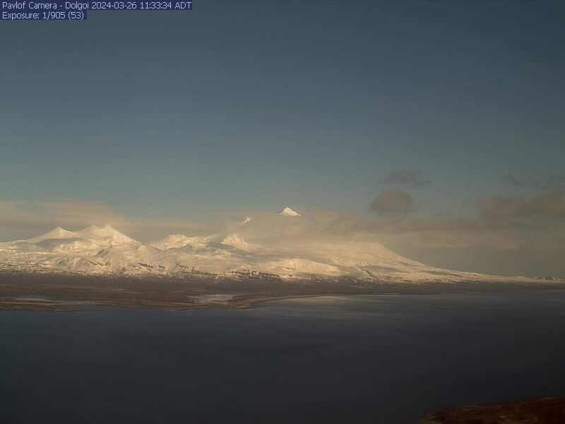
Pavlof - DOL
The Pavlof team (Ketner/Wech/Wellik) activated a new camera at station DOL on Tuesday (July 4). This camera looks north and provides good coverage of the volcanic complex in this region. Read more about Pavlof volcano.
The Pavlof team (Ketner/Wech/Wellik) activated a new camera at station DOL on Tuesday (July 4). This camera looks north and provides good coverage of the volcanic complex in this region. Read more about Pavlof volcano.

Redoubt - RDDF
Camera is located at AVO's Redoubt Hut, approximately 7.5 mi (12 km) from Redoubt's summit crater. This camera provides a view of the north flank of Redoubt. This camera is in a remote location and operates on battery power. We will set this camera to power on as much as batteries allow. Redoubt summit is approximately 10,200 ft above sea level.
Camera is located at AVO's Redoubt Hut, approximately 7.5 mi (12 km) from Redoubt's summit crater. This camera provides a view of the north flank of Redoubt. This camera is in a remote location and operates on battery power. We will set this camera to power on as much as batteries allow. Redoubt summit is approximately 10,200 ft above sea level.
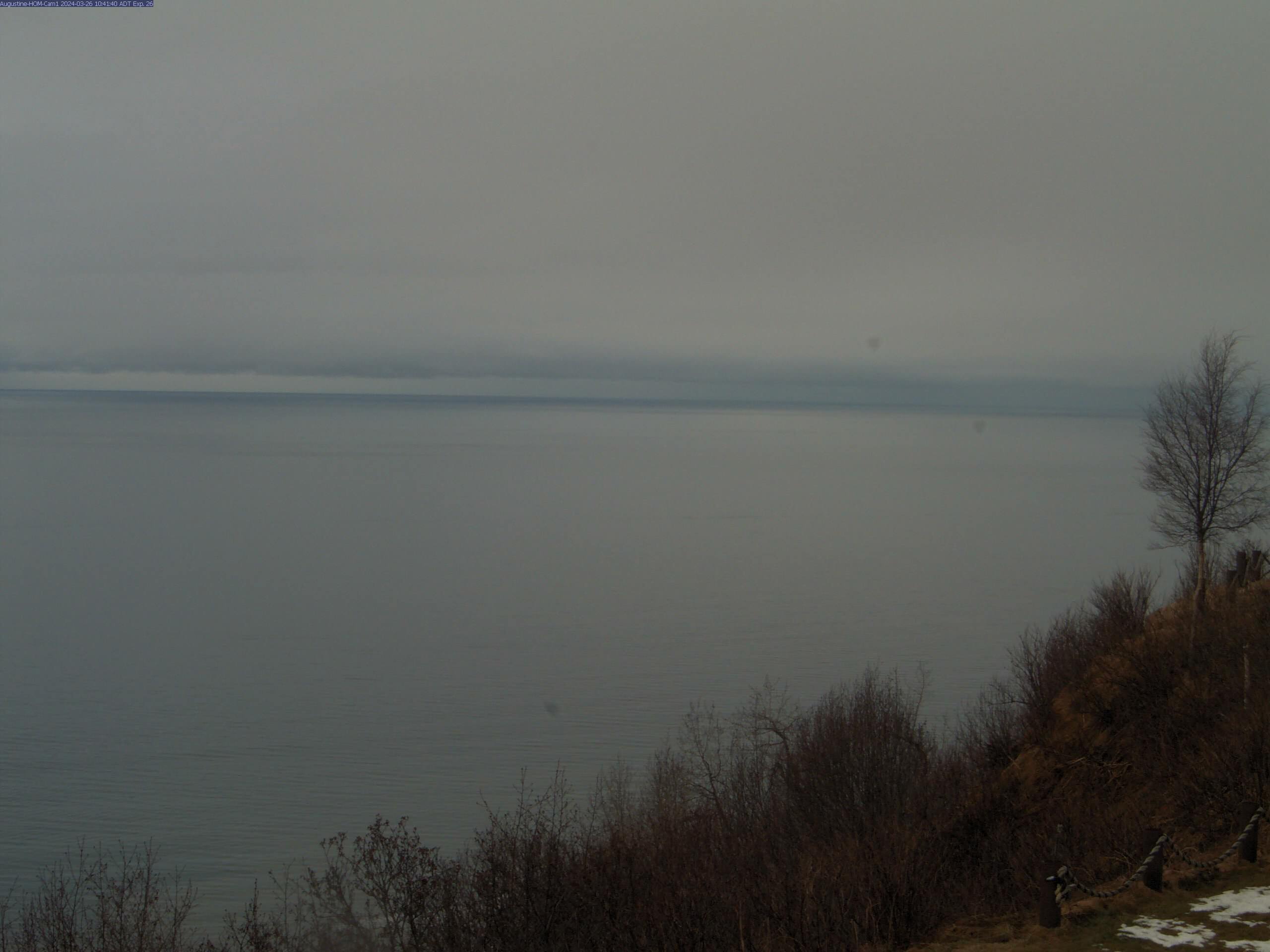
Augustine - Homer
The webcam is located in Homer, AK, approximately 120KM (75MI) north-east of Augustine volcano. Image interval is currently 5 minutes. Read more details about Augustine volcano.
The webcam is located in Homer, AK, approximately 120KM (75MI) north-east of Augustine volcano. Image interval is currently 5 minutes. Read more details about Augustine volcano.
Augustine Mound
The Augustine island webcam has been replaced with a new camera, and is now functioning. Read more details about Augustine volcano.
The Augustine island webcam has been replaced with a new camera, and is now functioning. Read more details about Augustine volcano.
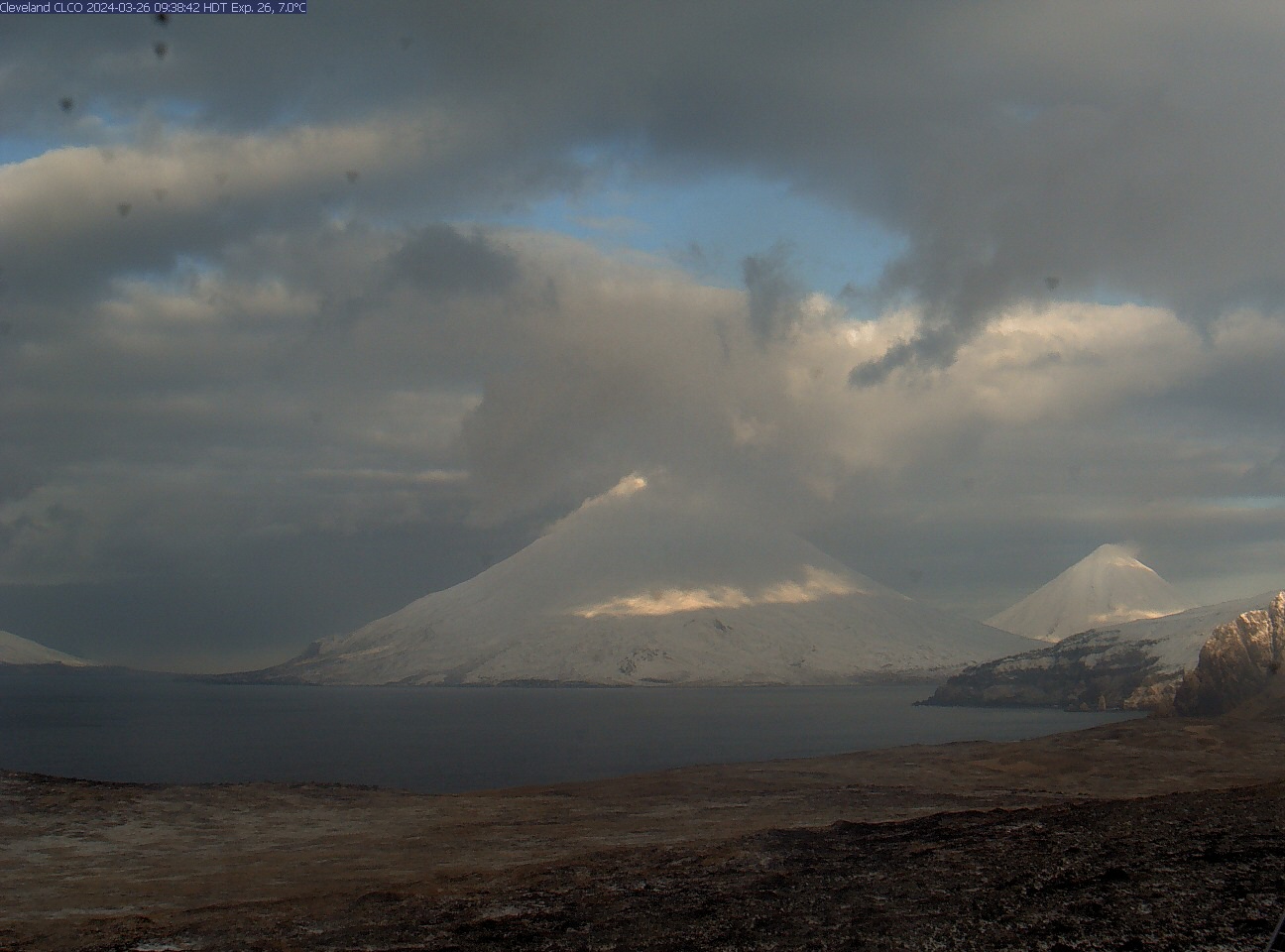
Cleveland [CLCO]
This camera is located near Concord Point, Chuginadak Island, and looks west-northwest to Cleveland in the mid-center. On nice days, Carlisle is visible to the far right, beyond Cleveland. The slopes of Tana are in the near-right. To conserve battery power, this camera intermittently captures images.
This camera is located near Concord Point, Chuginadak Island, and looks west-northwest to Cleveland in the mid-center. On nice days, Carlisle is visible to the far right, beyond Cleveland. The slopes of Tana are in the near-right. To conserve battery power, this camera intermittently captures images.
Iliamna East
View of the webcam from of Iliamna East from AVO. Read more about Iliamna volcano.
View of the webcam from of Iliamna East from AVO. Read more about Iliamna volcano.

Iliamna IVE
Camera is co-located with seismic station IVE 2.7 miles (3.5 km) to the east south-east of Iliamna. Read more about Iliamna volcano.
Camera is co-located with seismic station IVE 2.7 miles (3.5 km) to the east south-east of Iliamna. Read more about Iliamna volcano.

Kanaga Volcano [KIMD]
View of the webcam of Kanaga from Adak from the AVO. Read more about Kanaga volcano.
View of the webcam of Kanaga from Adak from the AVO. Read more about Kanaga volcano.
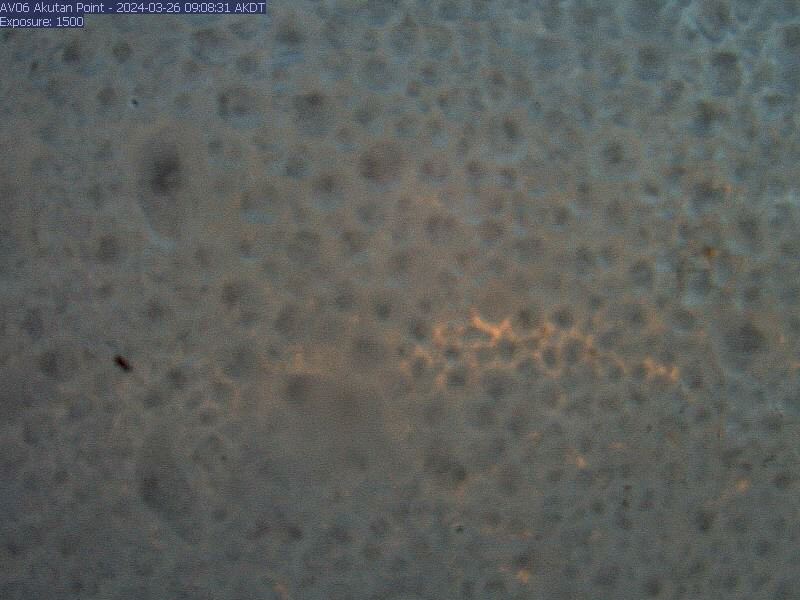
Akutan AKSD
View from webcam of Akutan [AV06, 1519 ft] by the Alaska Volcano Observatory. Read details on Akutan Volcano.
View from webcam of Akutan [AV06, 1519 ft] by the Alaska Volcano Observatory. Read details on Akutan Volcano.
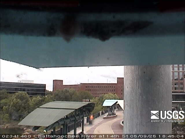
Chattahoochee River at 14th St, at Columbus (02341460)
We have installed a webcam at the Chattahoochee River at 14th St, at Columbus to allow you to view, in real time, the current river-stage conditions.
During periods of flooding, the South Atlantic Water Science Center - Georgia will take control of the camera.
Sponsors
We have installed a webcam at the Chattahoochee River at 14th St, at Columbus to allow you to view, in real time, the current river-stage conditions.
During periods of flooding, the South Atlantic Water Science Center - Georgia will take control of the camera.
Sponsors
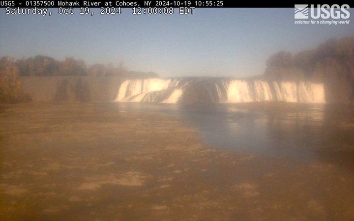
Cohoes Falls, NY (01357500)
Cohoes Falls upstream from USGS gaging station
PLEASE NOTE: During winter months, ice and snow can affect the picture quality. The camera is cleaned as often as it is safe to do so.
Cohoes Falls upstream from USGS gaging station
PLEASE NOTE: During winter months, ice and snow can affect the picture quality. The camera is cleaned as often as it is safe to do so.
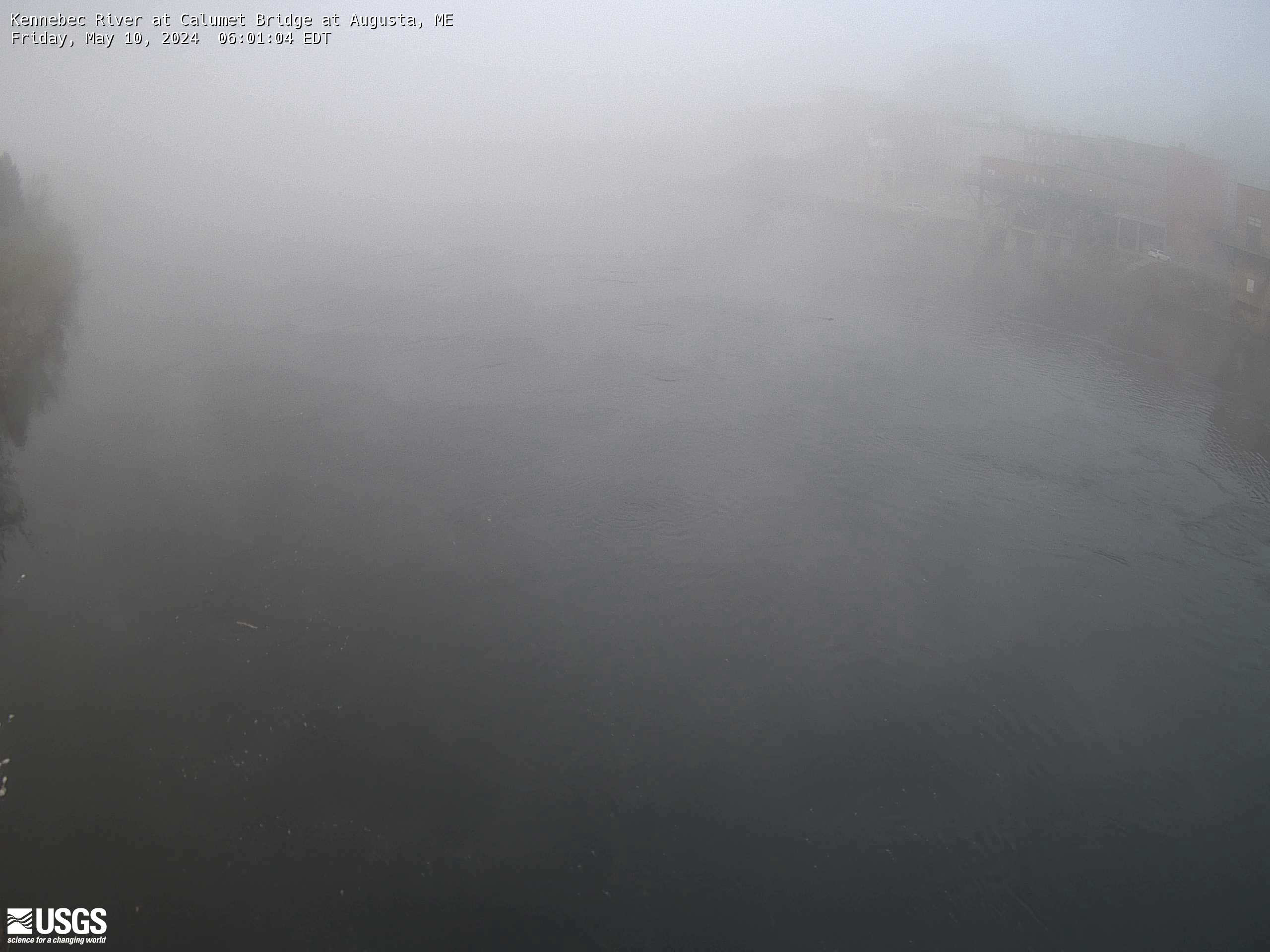
Kennebec River at Calumet Bridge at Augusta, Maine (01049320)
Kennebec River at Calumet Bridge at Augusta, Maine (01049320)
Station operated in cooperation with the Maine Emergency Management Agency and the Maine River Flow Advisory Commission.
Kennebec River at Calumet Bridge at Augusta, Maine (01049320)
Station operated in cooperation with the Maine Emergency Management Agency and the Maine River Flow Advisory Commission.
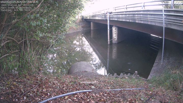
Salt Creek at Wood Dale, IL (05531175)
This site is located at Irving Park Road in Wood Dale, Illinois. The time is reported in Central Standard Time and the bridge-pier elevations are referenced to NGVD 1929.
This site is operated in cooperation with the DuPage County, Illinois, Stormwater Management Division
This site is located at Irving Park Road in Wood Dale, Illinois. The time is reported in Central Standard Time and the bridge-pier elevations are referenced to NGVD 1929.
This site is operated in cooperation with the DuPage County, Illinois, Stormwater Management Division
Savannah River at Savannah (021989773)
We have installed a webcam at the Savannah River at Savannah to allow you to view, in real time, the current river-stage conditions.
During periods of flooding, the South Atlantic Water Science Center - Georgia will take control of the camera.
We have installed a webcam at the Savannah River at Savannah to allow you to view, in real time, the current river-stage conditions.
During periods of flooding, the South Atlantic Water Science Center - Georgia will take control of the camera.
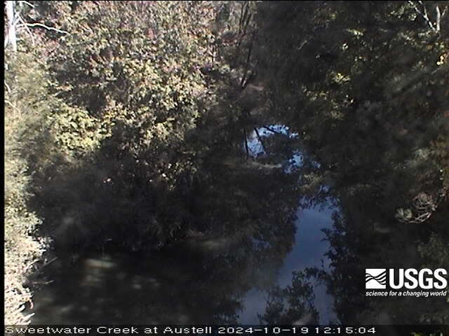
Sweetwater Creek 0.05 miles US RR Bridge, Austell (02336910)
We have installed a webcam at the Sweetwater Creek 0.05 miles US RR Bridge, Austell to allow you to view, in real time, the current river-stage conditions.
This webcam is located at site 02336910, which is near the Sweetwater Creek near Austell (02337000) water-monitoring site.
We have installed a webcam at the Sweetwater Creek 0.05 miles US RR Bridge, Austell to allow you to view, in real time, the current river-stage conditions.
This webcam is located at site 02336910, which is near the Sweetwater Creek near Austell (02337000) water-monitoring site.
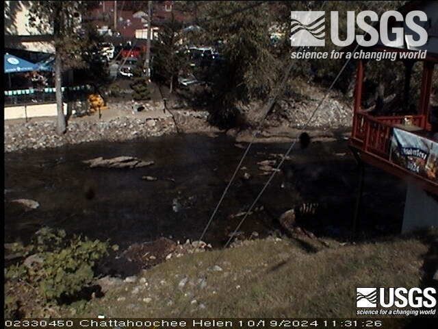
Chattahoochee River at Helen (02330450)
We have installed a webcam at the Chattahoochee River at Helen to allow you to view, in real time, the current river-stage conditions.
During periods of flooding, the South Atlantic Water Science Center - Georgia will take control of the camera.
We have installed a webcam at the Chattahoochee River at Helen to allow you to view, in real time, the current river-stage conditions.
During periods of flooding, the South Atlantic Water Science Center - Georgia will take control of the camera.