
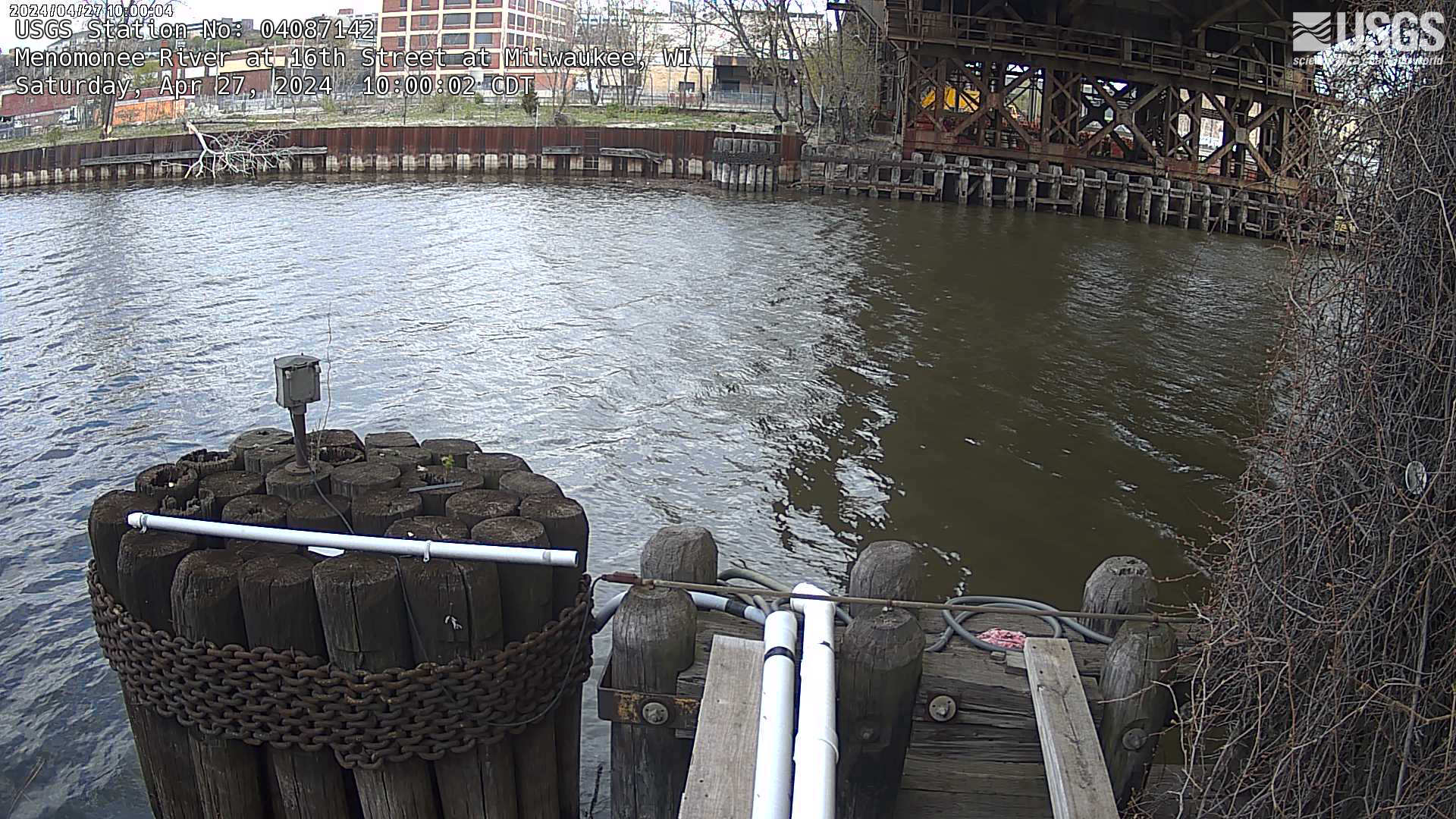
Webcam at streamgage at Menomonee River at 16th Street at Milwaukee, Wisconsin. https://waterdata.usgs.gov/monitoring-location/04087142
Webcams
The USGS maintains a variety of webcams across the U.S. These webcams provide valuable research information and data to the USGS scientists, the National Weather Service, emergency managers, and area residents to evaluate near, real-time conditions during natural hazard events (most webcams refresh every 5 - 20 minutes).
Filter Total Items: 339
Streamgage at Menomonee River at 16th Street at Milwaukee, Wisconsin
Webcam at streamgage at Menomonee River at 16th Street at Milwaukee, Wisconsin. https://waterdata.usgs.gov/monitoring-location/04087142
Streamgage at mouth of Milwaukee River (upstream) at Milwaukee, Wisconsin
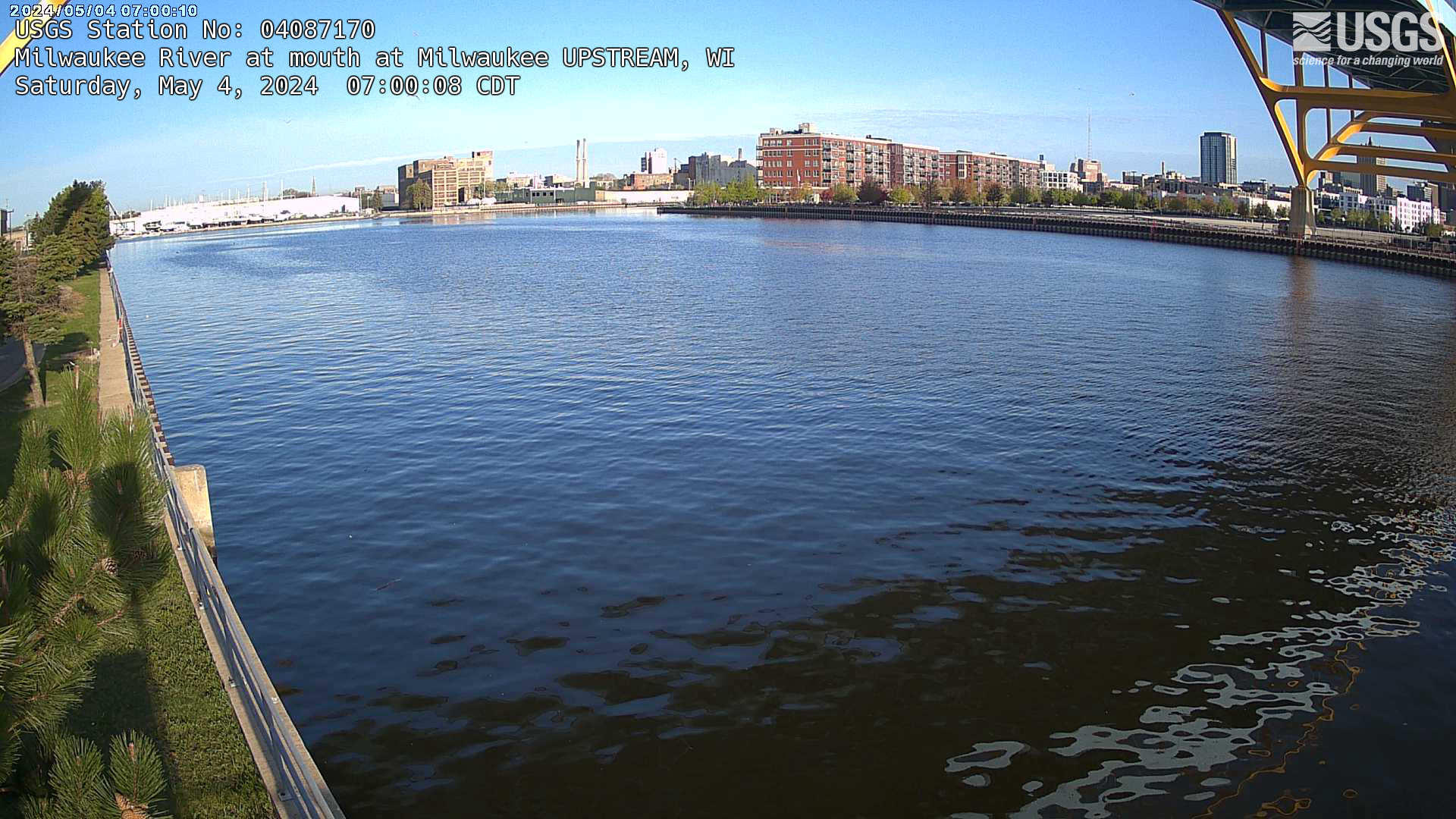
Webcam at streamgage at mouth of Milwaukee River (upstream) at Milwaukee, Wisconsin. https://waterdata.usgs.gov/monitoring-location/04087170/
Webcam at streamgage at mouth of Milwaukee River (upstream) at Milwaukee, Wisconsin. https://waterdata.usgs.gov/monitoring-location/04087170/
Streamgage at mouth of Milwaukee River (downstream) at Milwaukee, Wisconsin
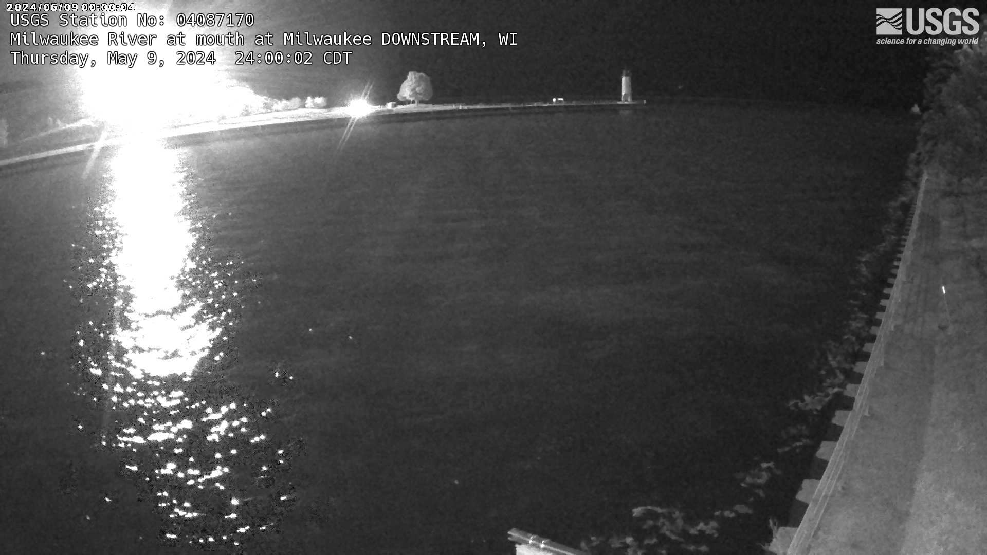
Webcam at streamgage at mouth of Milwaukee River (downstream) at Milwaukee, Wisconsin. https://waterdata.usgs.gov/monitoring-location/04087170/
Webcam at streamgage at mouth of Milwaukee River (downstream) at Milwaukee, Wisconsin. https://waterdata.usgs.gov/monitoring-location/04087170/
Streamgage at Root River at Grange at Greenfield, Wisconsin (04087214)
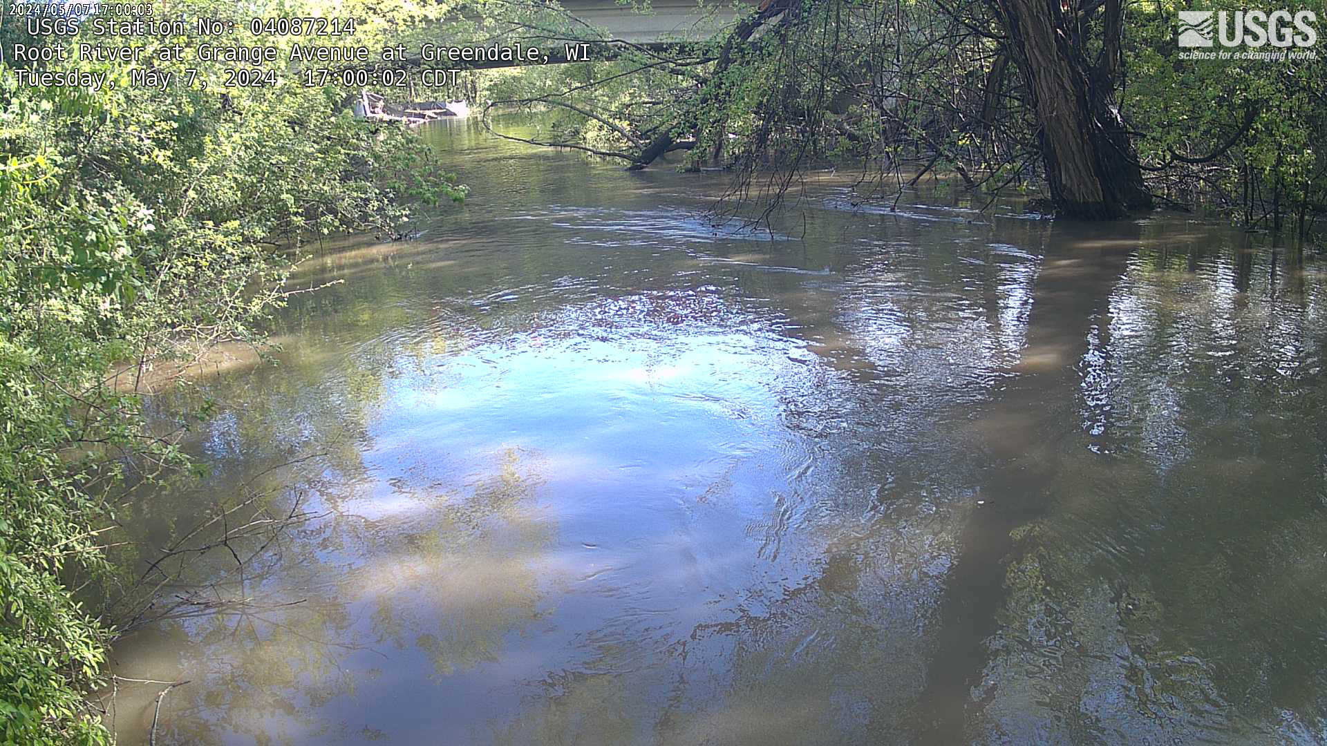
Webcam at streamgage at Root River at Grange at Greenfield, Wisconsin. https://waterdata.usgs.gov/monitoring-location/04087214
Webcam at streamgage at Root River at Grange at Greenfield, Wisconsin. https://waterdata.usgs.gov/monitoring-location/04087214
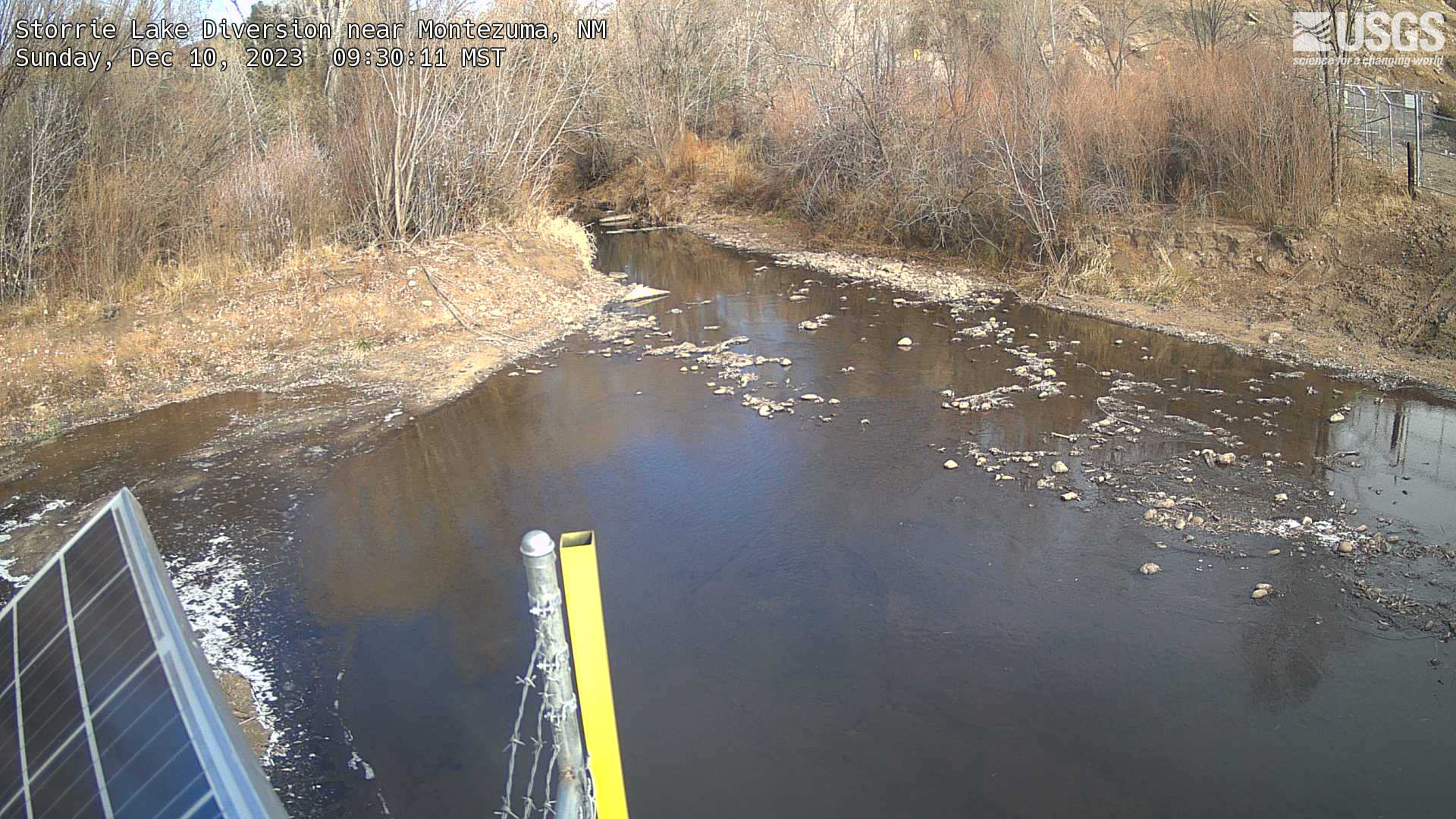
Storrie Lake Diversion nr Montezuma, NM
This is a webcam image of Storrie Lake Diversion nr Montezuma, NM downstream of Hermits Peak and Calf Canyon Fire
This is a webcam image of Storrie Lake Diversion nr Montezuma, NM downstream of Hermits Peak and Calf Canyon Fire
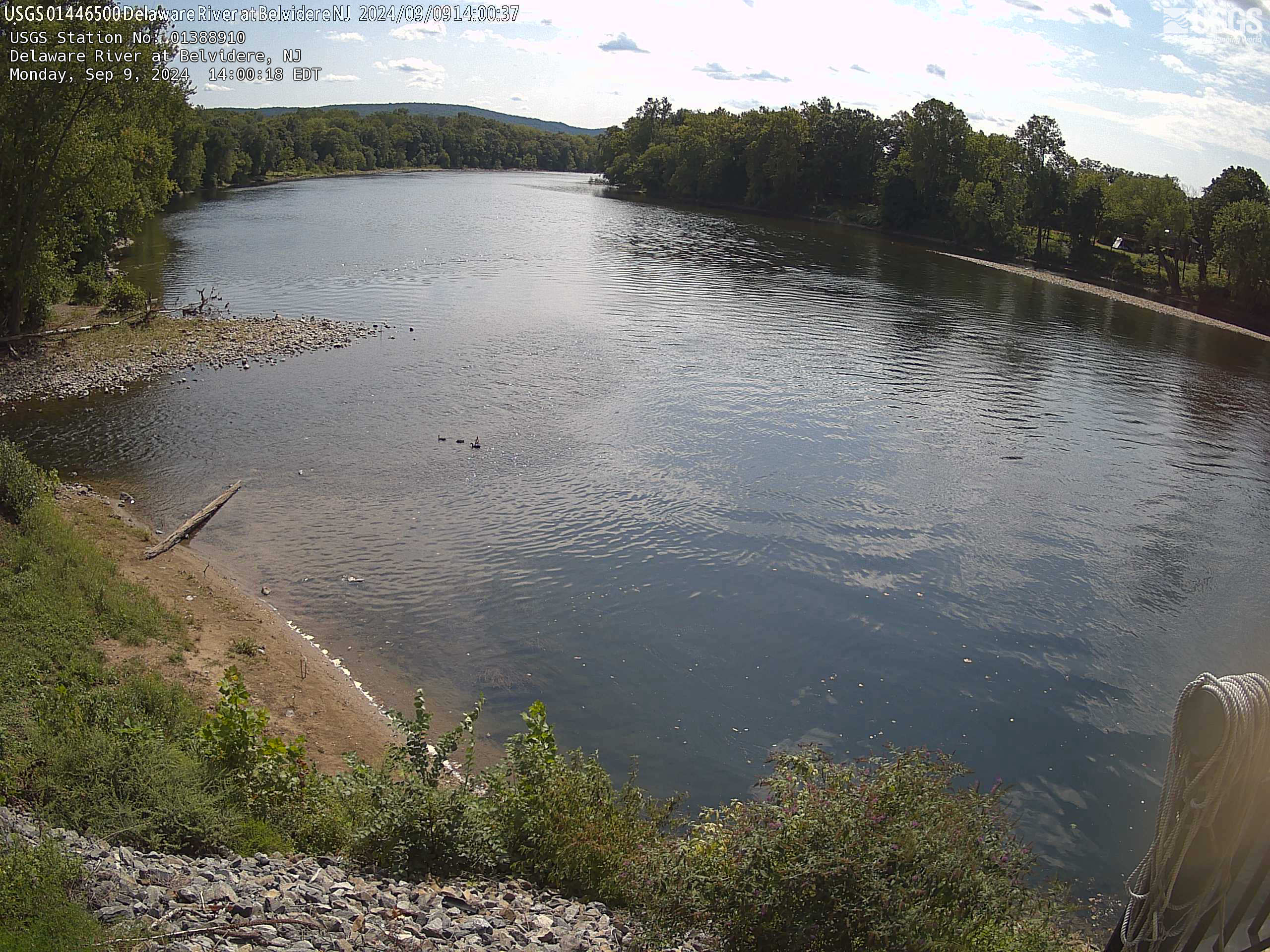
Streamgage 01446500 Delaware River at Belvidere, NJ
Webcam at USGS Streamgage 01446500 Delaware River at Belvidere, NJ
Visit Water Data For the Nation to get current data for this site.
Webcam at USGS Streamgage 01446500 Delaware River at Belvidere, NJ
Visit Water Data For the Nation to get current data for this site.
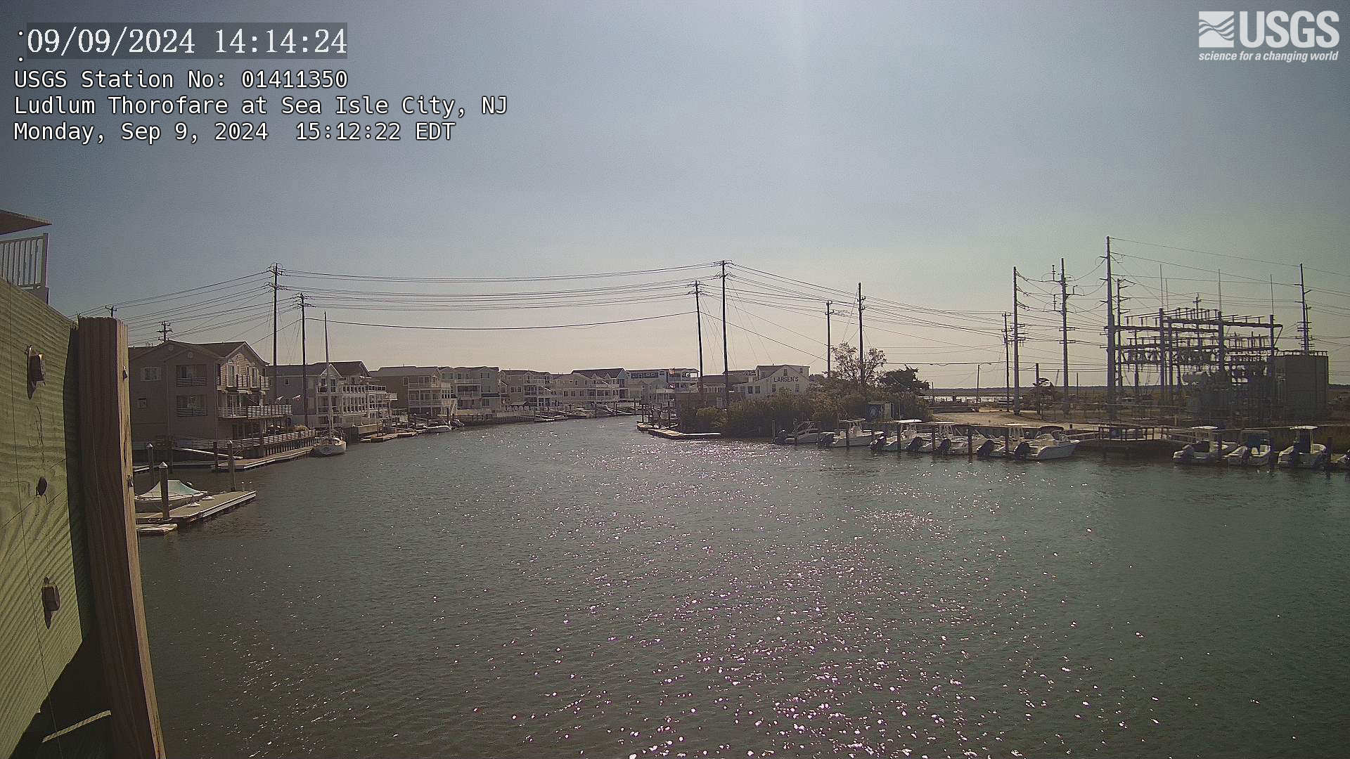
Streamgage 01411350 Ludlum Thorofare at Sea Isle City, NJ
Webcam at USGS Streamgage 01411350 Ludlum Thorofare at Sea Isle City, NJ
Visit Water Data For the Nation to get current data for this site.
Webcam at USGS Streamgage 01411350 Ludlum Thorofare at Sea Isle City, NJ
Visit Water Data For the Nation to get current data for this site.
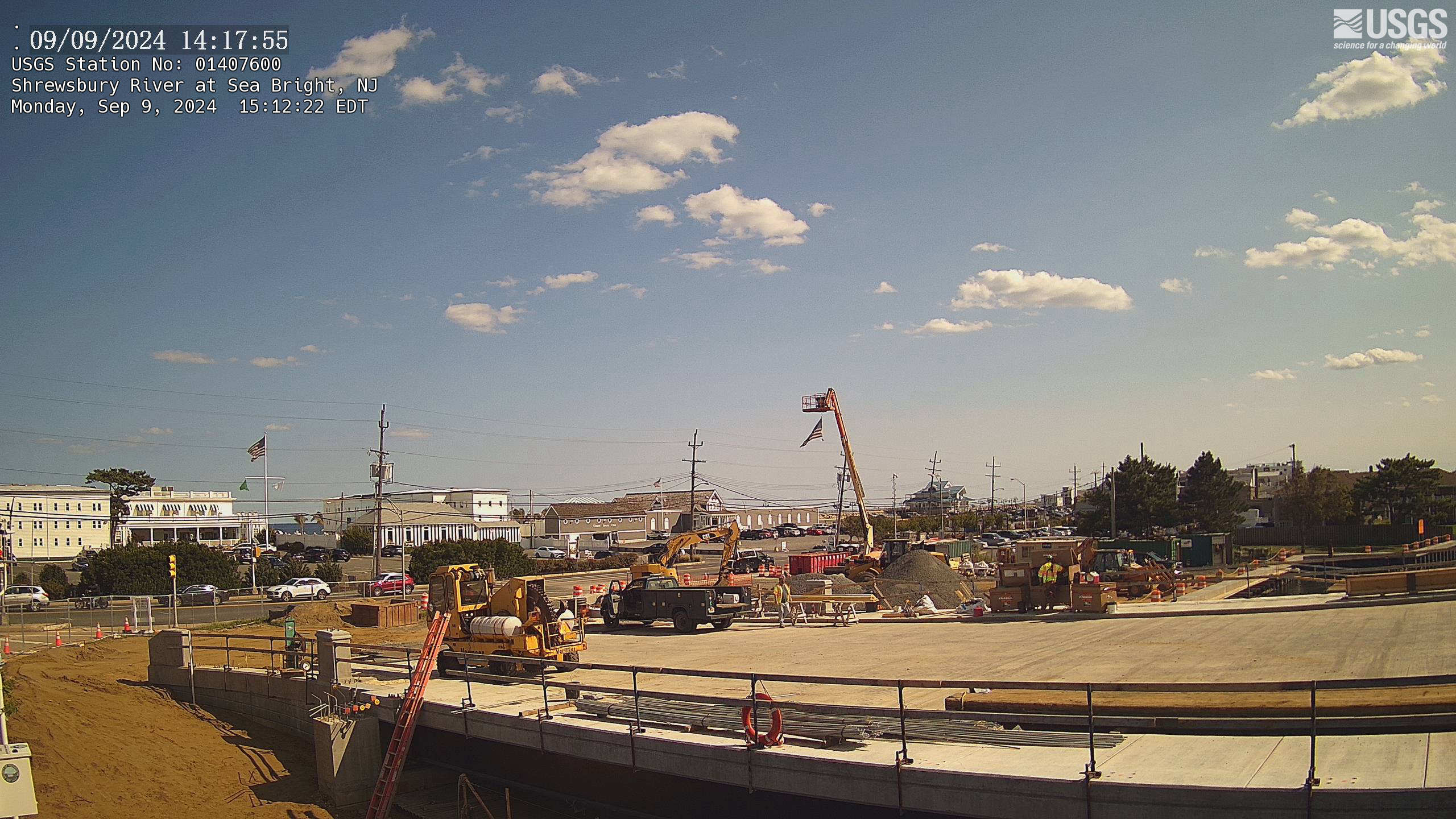
Streamgage 01407600 Shrewsbury River at Sea Bright, NJ
Webcam at USGS Streamgage 01407600 Shrewsbury River at Sea Bright, NJ
Visit Water Data For the Nation to get current data for this site.
Webcam at USGS Streamgage 01407600 Shrewsbury River at Sea Bright, NJ
Visit Water Data For the Nation to get current data for this site.
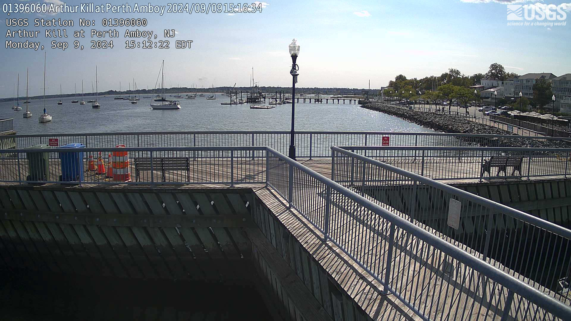
Streamgage 01396060 Arthur Kill at Perth Amboy, NJ
Webcam at USGS Streamgage 01396060 Arthur Kill at Perth Amboy, NJ
Visit Water Data For the Nation to get current data for this site.
Webcam at USGS Streamgage 01396060 Arthur Kill at Perth Amboy, NJ
Visit Water Data For the Nation to get current data for this site.
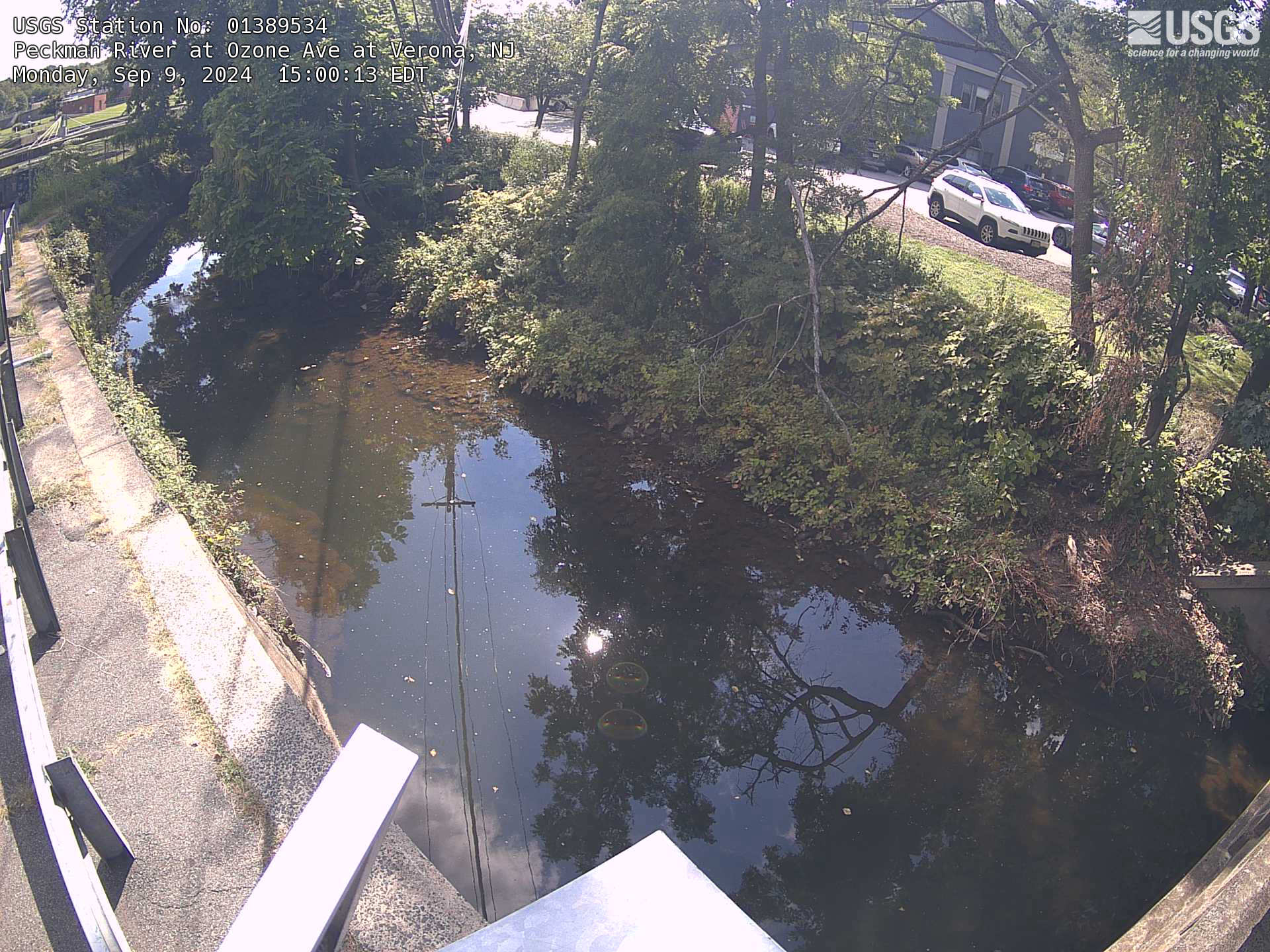
Streamgage 01389534 Peckman River at Ozone Ave at Verona, NJ
Webcam at USGS Streamgage 01389534 Peckman River at Ozone Ave at Verona, NJ
Visit Water Data For the Nation to get current data for this site.
Webcam at USGS Streamgage 01389534 Peckman River at Ozone Ave at Verona, NJ
Visit Water Data For the Nation to get current data for this site.
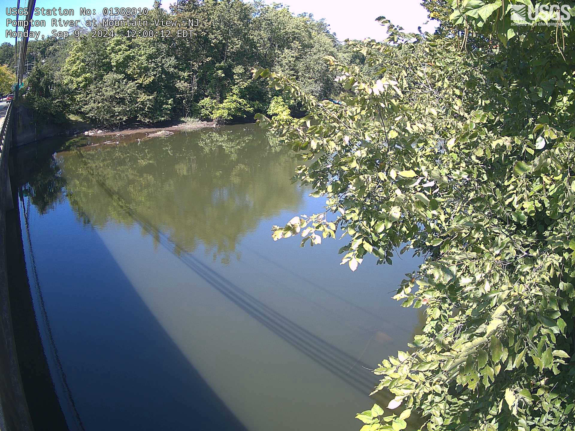
Streamgage 01388910 Pompton River at Mountainview, NJ
Webcam at USGS Streamgage 01388910 Pompton River at Mountainview, NJ
Visit Water Data For the Nation to get current data for this site.
Webcam at USGS Streamgage 01388910 Pompton River at Mountainview, NJ
Visit Water Data For the Nation to get current data for this site.
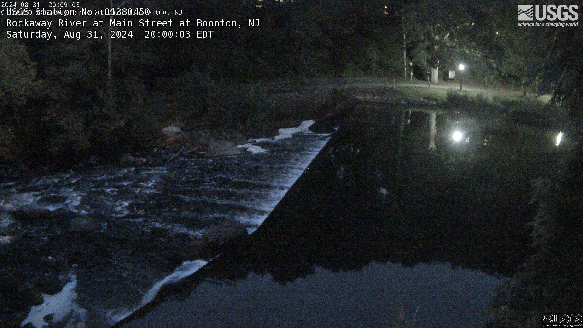
Streamgage 01380450 Rockaway River at Main St. at Boonton, NJ
Webcam at USGS Streamgage 01380450 Rockaway River at Main St. at Boonton, NJ.
Visit Water Data For the Nation to get current data for this site.
Webcam at USGS Streamgage 01380450 Rockaway River at Main St. at Boonton, NJ.
Visit Water Data For the Nation to get current data for this site.
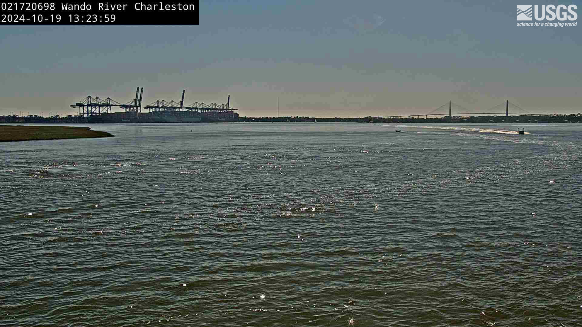
Wando River above Mt. Pleasant (021720698)
We have installed a webcam at Wando River above Mt. Pleasant to allow you to view (in real time) the current conditions.
We have installed a webcam at Wando River above Mt. Pleasant to allow you to view (in real time) the current conditions.
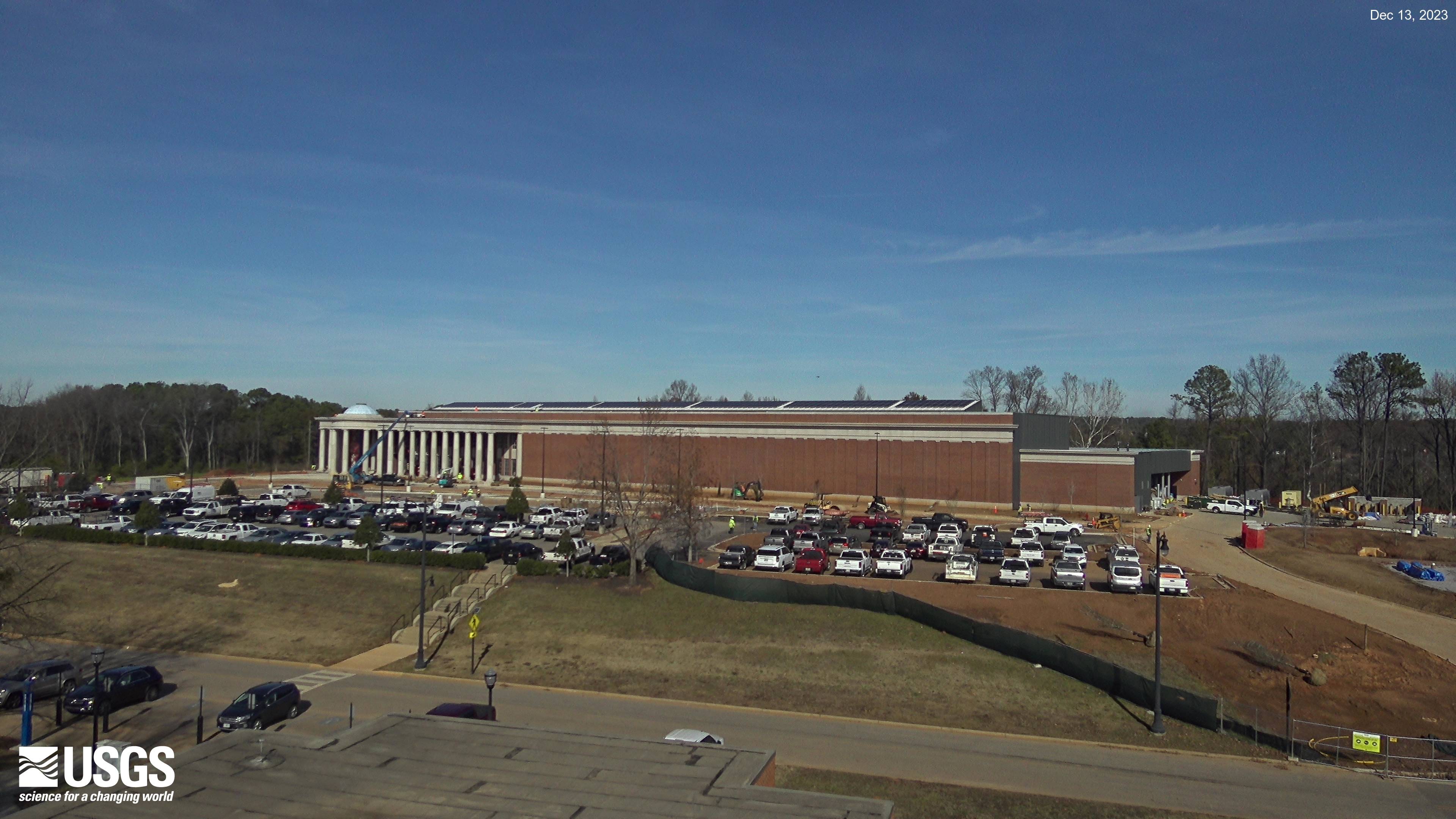
HIF Construction in Tuscaloosa, Alabama
The current view of construction progress at the new HIF facility in Tuscaloosa, Alabama.
The current view of construction progress at the new HIF facility in Tuscaloosa, Alabama.

Time-averaged image at Madeira Beach, Florida, Camera 2
Time-averaged images, which represent the time-mean of all the images collected during a video, are used to identify areas where waves are breaking, which show up as bright white bands in the image.
Time-averaged images, which represent the time-mean of all the images collected during a video, are used to identify areas where waves are breaking, which show up as bright white bands in the image.

Most recent snapshot at Madeira Beach, Florida, Camera 2
Most recent snapshot from Camera 2 at Madeira Beach, Florida. Camera hosted by Shoreline Island Resort.
Most recent snapshot from Camera 2 at Madeira Beach, Florida. Camera hosted by Shoreline Island Resort.
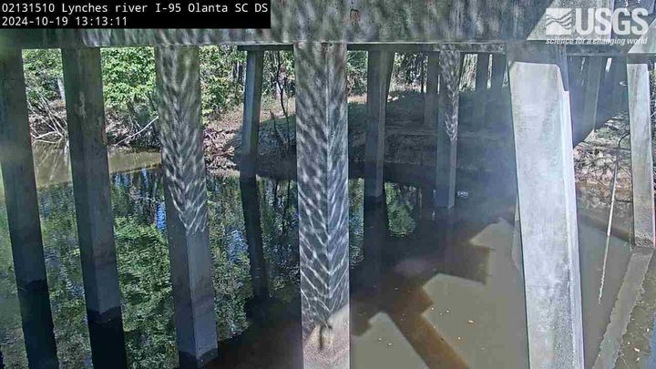
Lynches River at I-95, above Olanta, SC (02131510, Downstream)
We have installed a webcam at the Lynches River at I-95, above Olanta to allow you to view, in real time, the current river-stage conditions.
During periods of flooding, the South Atlantic Water Science Center - South Carolina will take control of the camera.
We have installed a webcam at the Lynches River at I-95, above Olanta to allow you to view, in real time, the current river-stage conditions.
During periods of flooding, the South Atlantic Water Science Center - South Carolina will take control of the camera.
French Broad River below I-26 near Bent Creek, NC (03448050)
The camera is located on the right bank of the French Broad River facing northeast; the river flows from left to right.
Water-quality monitoring equipment can be seen at the bottom-center of the viewing area.
Camera is sponsored by the NC Department of Transportation .
The camera is located on the right bank of the French Broad River facing northeast; the river flows from left to right.
Water-quality monitoring equipment can be seen at the bottom-center of the viewing area.
Camera is sponsored by the NC Department of Transportation .
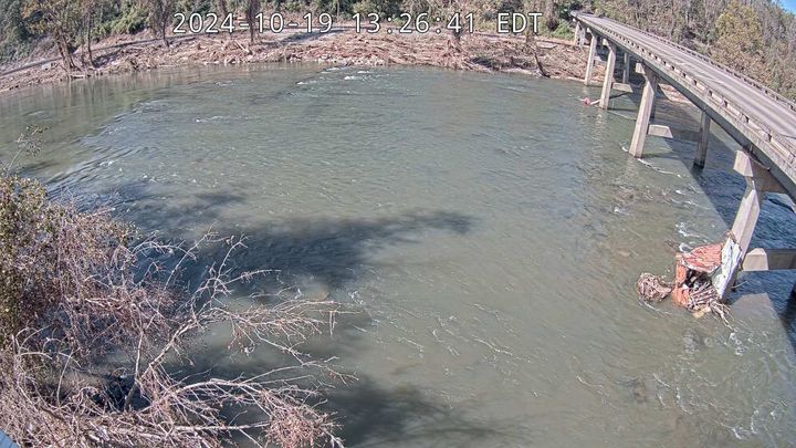
French Broad River at Asheville, NC (03451500)
The camera is located on the right bank of the French Broad River facing northwest; the river flows from left to right.
Discharge, precipitation, and water-quality monitoring equipment is also located at this station (not shown in viewing area).
Camera is sponsored by the NC Department of Transportation.
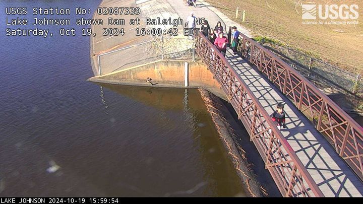
Lake Johnson above Dam at Raleigh, NC (02087339)
We have installed a webcam at Lake Johnson, Raleigh, NC to allow you to view (in real time) the current lake elevation conditions.
Camera is sponsored by the City of Raleigh, Stormwater Management.
We have installed a webcam at Lake Johnson, Raleigh, NC to allow you to view (in real time) the current lake elevation conditions.
Camera is sponsored by the City of Raleigh, Stormwater Management.

Black River at I-95, near Manning, SC (02135501, Upstream)
We have installed a webcam at the Black River at I-95, near Manning to allow you to view, in real time, the current river-stage conditions.
During periods of flooding, the South Atlantic Water Science Center - South Carolina will take control of the camera.
We have installed a webcam at the Black River at I-95, near Manning to allow you to view, in real time, the current river-stage conditions.
During periods of flooding, the South Atlantic Water Science Center - South Carolina will take control of the camera.