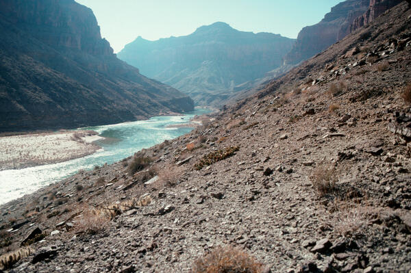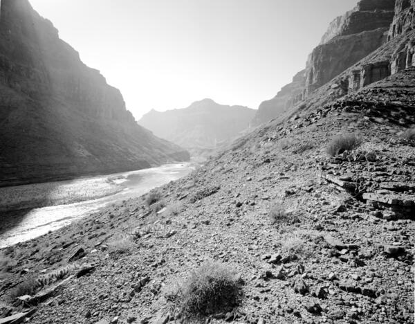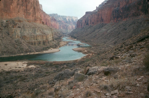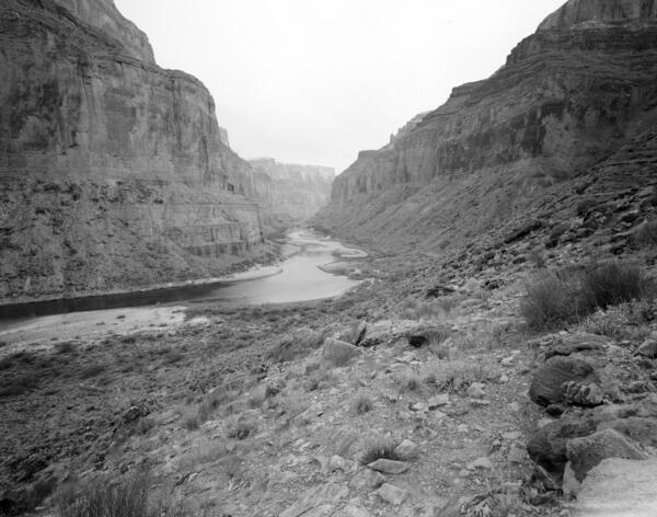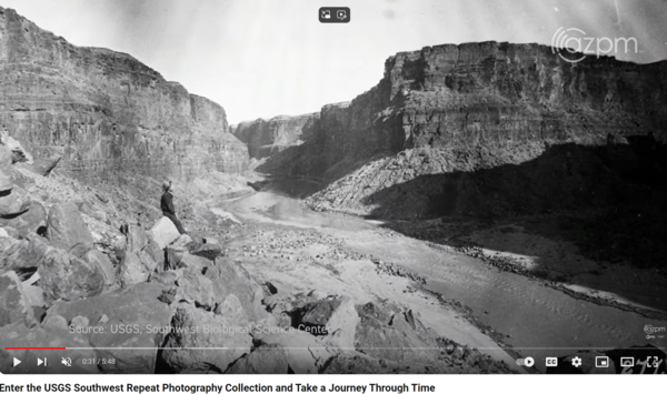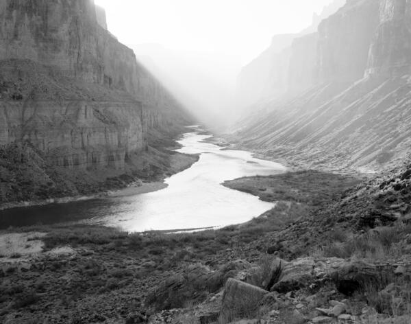
Colorado River, Grand Canyon, River Mile 52.8, Nankoweap, Downstream View from River Right, 1990
linkJanuary 23, 1990: Colorado River, Grand Canyon, River Mile 52.8, Nankoweap, Downstream View from River Right. Stake no. s1424b in the Southwest Repeat Photography Collection. Photo by Robert H. Webb.