
Geologist Ann Gibbs studies the vulnerability of the rapidly-warming Alaska coast to climate change effects like sea level rise and permafrost thawing.
All Multimedia
Access all multimedia to include images, video, audio, webcams, before-after imagery, and more. Filter and explore with filtering options to refine search.
Filter Total Items: 26044

Climate Science Champions, Season 2: Ann Gibbs, Geologist
Geologist Ann Gibbs studies the vulnerability of the rapidly-warming Alaska coast to climate change effects like sea level rise and permafrost thawing.

Climate Science Champions, Season 2: Ferdinand Oberle, Research Geologist
Along reef-lined shores of the Pacific Islands, USGS Research Geologist and Oceanographer Ferdinand Oberle studies how warming surface waters, nutrient runoff, and increasingly powerful storms impact coral reefs.
Along reef-lined shores of the Pacific Islands, USGS Research Geologist and Oceanographer Ferdinand Oberle studies how warming surface waters, nutrient runoff, and increasingly powerful storms impact coral reefs.

Climate Science Champions, Season 2: Kira Mizell, Research Oceanographer
Research Oceanographer Kira Mizell studies change in ocean chemistry by collecting marine minerals, looking for insights into past climate conditions and geologic history.
Research Oceanographer Kira Mizell studies change in ocean chemistry by collecting marine minerals, looking for insights into past climate conditions and geologic history.

Eyes on Earth Episode 71 – Blue Oak Forests of California
In this episode of Eyes on Earth, we zero in on the use of USGS Land Change Monitoring, Assessment, and Projection (LCMAP) products to examine the effects of drought on California’s Blue Oaks. LCMAP datasets are built from Landsat data and reveal the land cover and change of every pixel in the conterminous United States, dating back to 1985.
In this episode of Eyes on Earth, we zero in on the use of USGS Land Change Monitoring, Assessment, and Projection (LCMAP) products to examine the effects of drought on California’s Blue Oaks. LCMAP datasets are built from Landsat data and reveal the land cover and change of every pixel in the conterminous United States, dating back to 1985.
")
Monthly update of activity at Yellowstone Volcano (April 1, 2022)
Yellowstone Volcano Observatory Scientist-in-Charge Mike Poland talks about a recent earthquake swarm in Yellowstone National Park, trends in ground deformation, and water eruptions at Steamboat Geyser, in this video update of recent activity (April 1, 2022).
Yellowstone Volcano Observatory Scientist-in-Charge Mike Poland talks about a recent earthquake swarm in Yellowstone National Park, trends in ground deformation, and water eruptions at Steamboat Geyser, in this video update of recent activity (April 1, 2022).

False River near Oakley, CA
This station is collaboratively operated by the US Geological Survey (USGS) and the CA Department of Water Resources (CADWR). USGS collects surface water data and CADWR collects water quality data.
This station is collaboratively operated by the US Geological Survey (USGS) and the CA Department of Water Resources (CADWR). USGS collects surface water data and CADWR collects water quality data.
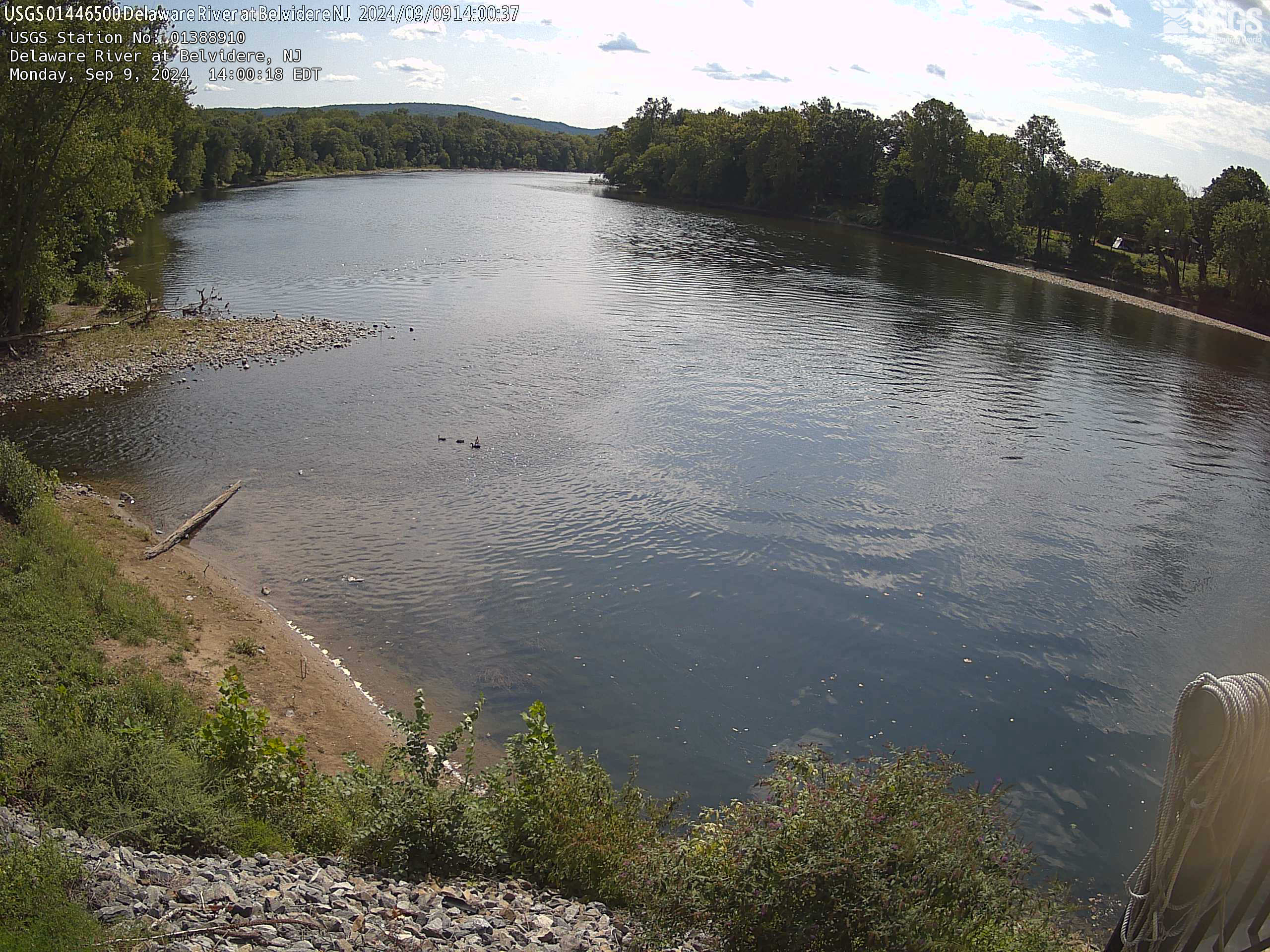
Streamgage 01446500 Delaware River at Belvidere, NJ
Webcam at USGS Streamgage 01446500 Delaware River at Belvidere, NJ
Visit Water Data For the Nation to get current data for this site.
Webcam at USGS Streamgage 01446500 Delaware River at Belvidere, NJ
Visit Water Data For the Nation to get current data for this site.
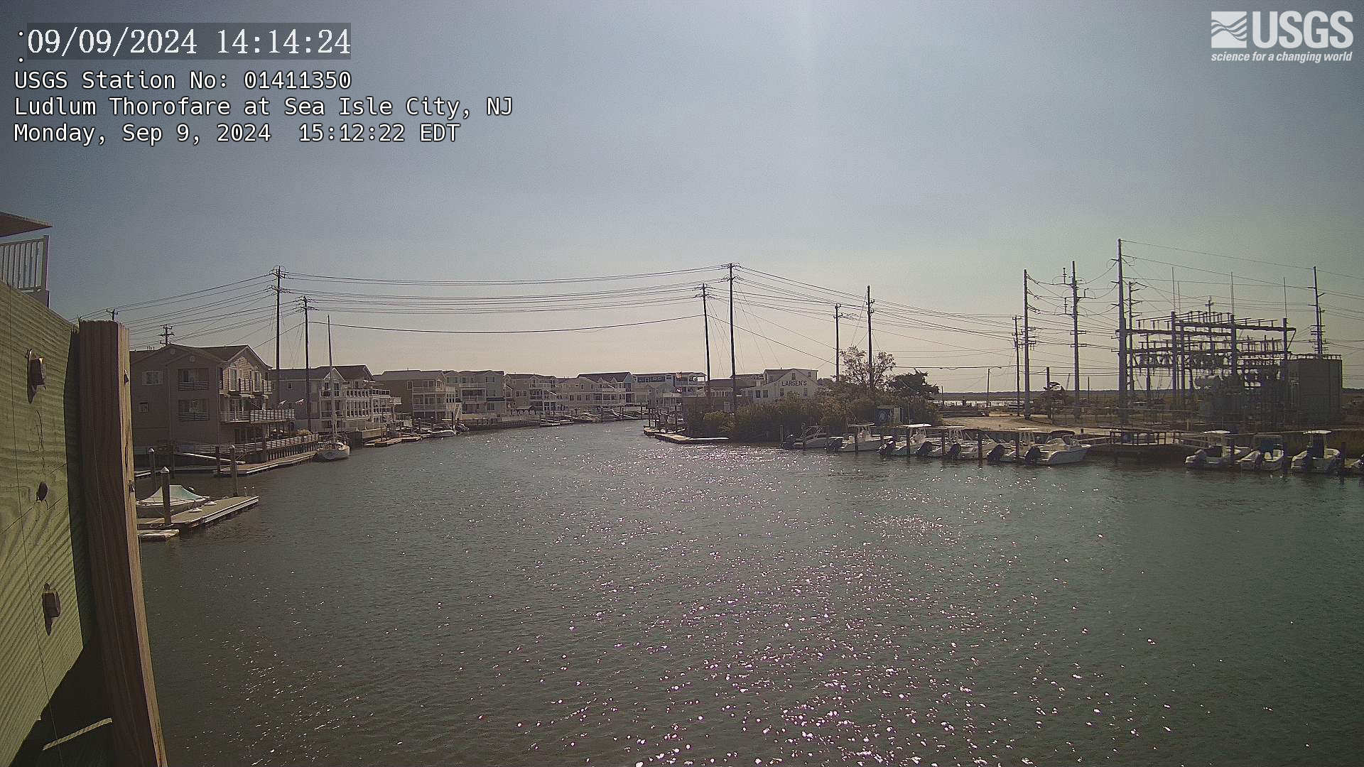
Streamgage 01411350 Ludlum Thorofare at Sea Isle City, NJ
Webcam at USGS Streamgage 01411350 Ludlum Thorofare at Sea Isle City, NJ
Visit Water Data For the Nation to get current data for this site.
Webcam at USGS Streamgage 01411350 Ludlum Thorofare at Sea Isle City, NJ
Visit Water Data For the Nation to get current data for this site.
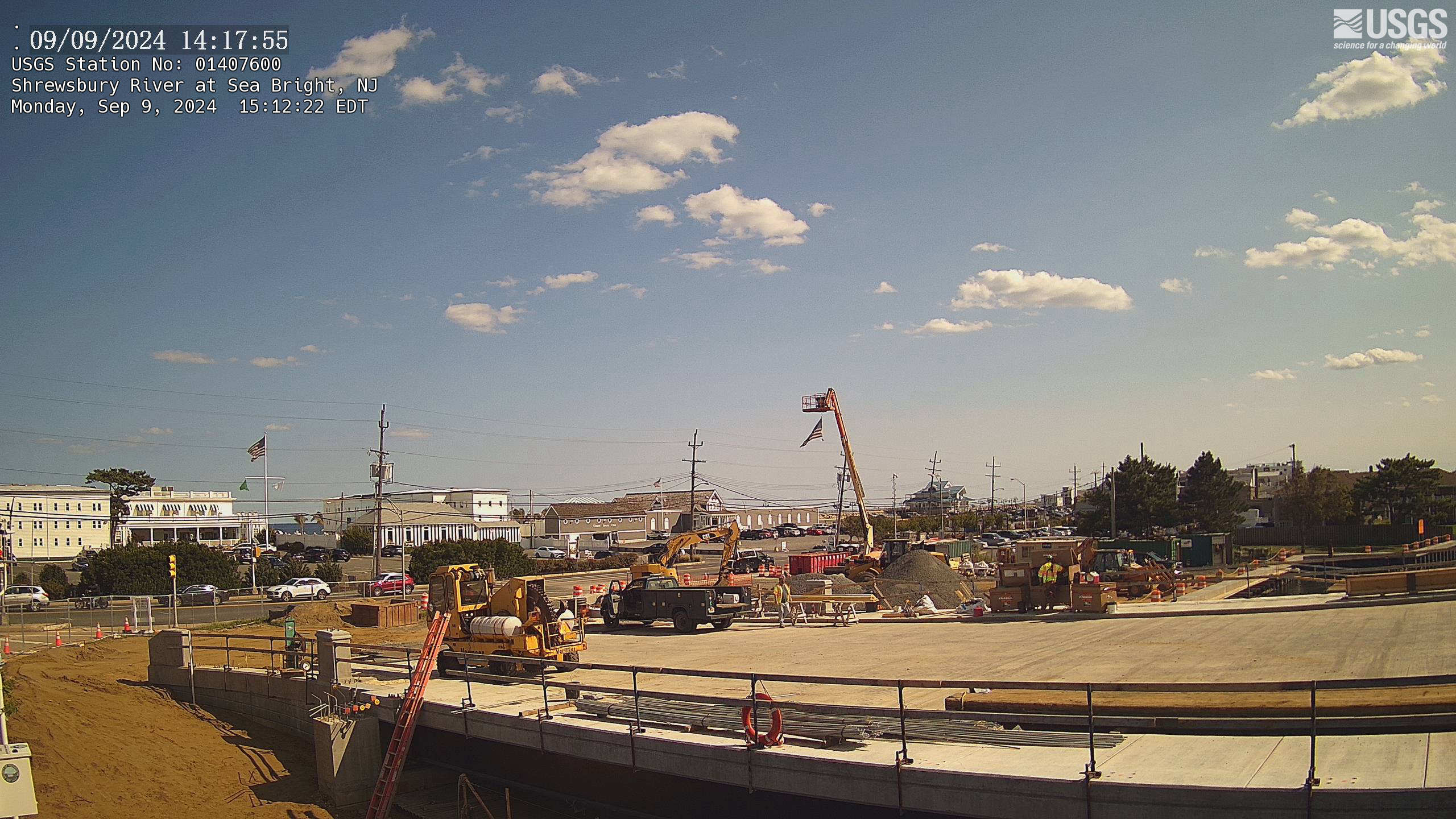
Streamgage 01407600 Shrewsbury River at Sea Bright, NJ
Webcam at USGS Streamgage 01407600 Shrewsbury River at Sea Bright, NJ
Visit Water Data For the Nation to get current data for this site.
Webcam at USGS Streamgage 01407600 Shrewsbury River at Sea Bright, NJ
Visit Water Data For the Nation to get current data for this site.
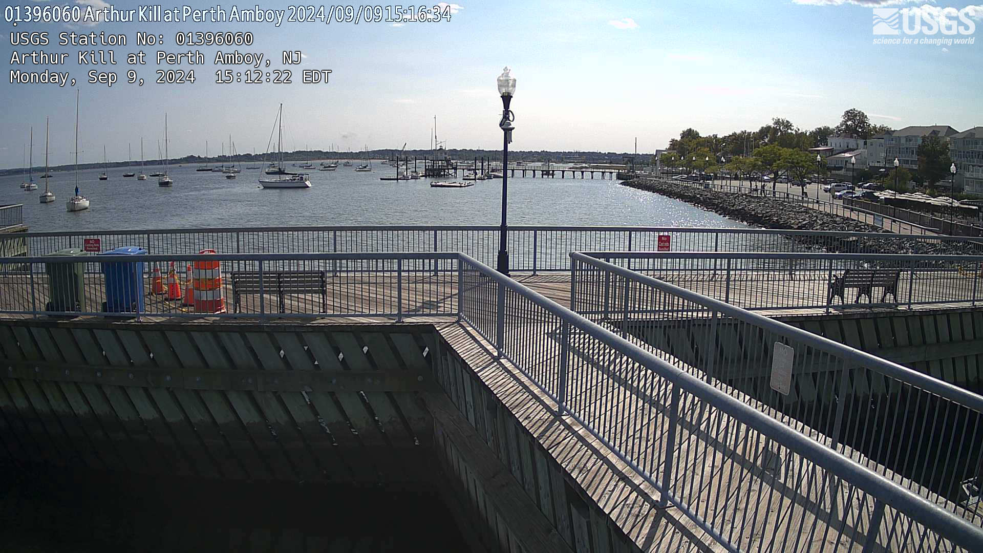
Streamgage 01396060 Arthur Kill at Perth Amboy, NJ
Webcam at USGS Streamgage 01396060 Arthur Kill at Perth Amboy, NJ
Visit Water Data For the Nation to get current data for this site.
Webcam at USGS Streamgage 01396060 Arthur Kill at Perth Amboy, NJ
Visit Water Data For the Nation to get current data for this site.
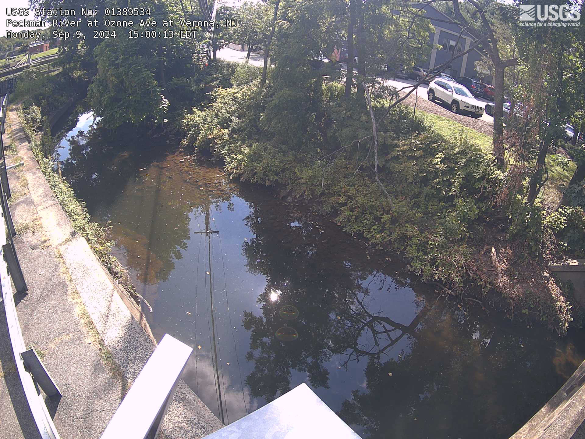
Streamgage 01389534 Peckman River at Ozone Ave at Verona, NJ
Webcam at USGS Streamgage 01389534 Peckman River at Ozone Ave at Verona, NJ
Visit Water Data For the Nation to get current data for this site.
Webcam at USGS Streamgage 01389534 Peckman River at Ozone Ave at Verona, NJ
Visit Water Data For the Nation to get current data for this site.
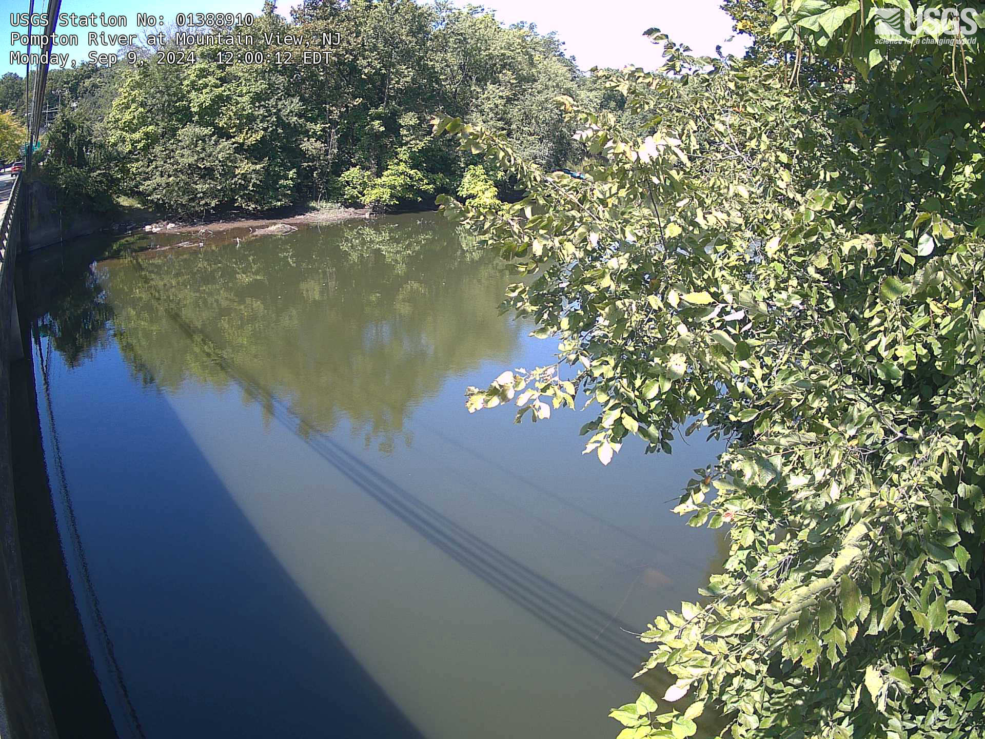
Streamgage 01388910 Pompton River at Mountainview, NJ
Webcam at USGS Streamgage 01388910 Pompton River at Mountainview, NJ
Visit Water Data For the Nation to get current data for this site.
Webcam at USGS Streamgage 01388910 Pompton River at Mountainview, NJ
Visit Water Data For the Nation to get current data for this site.
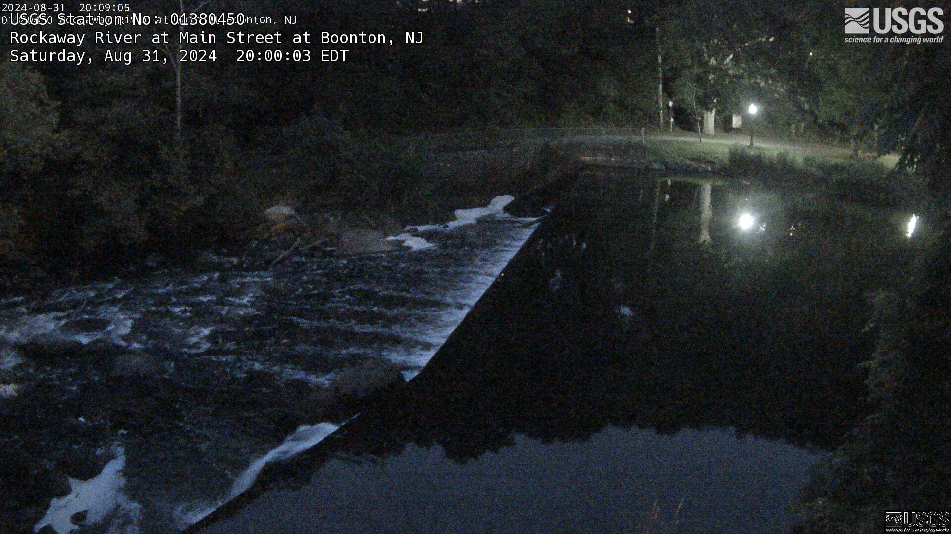
Streamgage 01380450 Rockaway River at Main St. at Boonton, NJ
Webcam at USGS Streamgage 01380450 Rockaway River at Main St. at Boonton, NJ.
Visit Water Data For the Nation to get current data for this site.
Webcam at USGS Streamgage 01380450 Rockaway River at Main St. at Boonton, NJ.
Visit Water Data For the Nation to get current data for this site.

29 March 2022– Kīlauea volcano, spattering within Halema‘uma‘u crater
This video, captured by a webcam on the northwest rim of Kīlauea caldera of March 29, 2022, shows spattering from a cone that has developed on the crater surface in the eastern part of Halema‘uma‘u. The presence of these features demonstrates that molten material is present beneath the solidified surface of the crater floor.
This video, captured by a webcam on the northwest rim of Kīlauea caldera of March 29, 2022, shows spattering from a cone that has developed on the crater surface in the eastern part of Halema‘uma‘u. The presence of these features demonstrates that molten material is present beneath the solidified surface of the crater floor.

Continued lava lake activity at Kīlauea summit on March 29, 2022
Activity continues in Halema‘uma‘u crater, at the summit of Kīlauea. Today, spattering was present at the margin of the active lava lake, along with lava pouring from a small cone in the northeast portion of the crater floor. The video ends with crustal foundering in an area of ponded lava in the central portion of the crater floor.
Activity continues in Halema‘uma‘u crater, at the summit of Kīlauea. Today, spattering was present at the margin of the active lava lake, along with lava pouring from a small cone in the northeast portion of the crater floor. The video ends with crustal foundering in an area of ponded lava in the central portion of the crater floor.

March 25, 2022 — Kīlauea summit continued lava lake activity
The summit eruption in Halema‘uma‘u crater, at the summit of Kīlauea, continues with lava lake activity. This video, taken on March 24, 2022, shows lava from the main lake pouring into a smaller lake in the western portion of the crater.
The summit eruption in Halema‘uma‘u crater, at the summit of Kīlauea, continues with lava lake activity. This video, taken on March 24, 2022, shows lava from the main lake pouring into a smaller lake in the western portion of the crater.

PubTalk-03/2022 - Hoofing it in the West: Conservation Challenges and Solutions for Migratory Big Game
linkHoofing it in the West: Conservation Challenges and Solutions for Migratory Big Game
By Matthew Kauffman, USGS Wyoming Cooperative Fish and Wildlife Research Unit
PubTalk-03/2022 - Hoofing it in the West: Conservation Challenges and Solutions for Migratory Big Game
linkHoofing it in the West: Conservation Challenges and Solutions for Migratory Big Game
By Matthew Kauffman, USGS Wyoming Cooperative Fish and Wildlife Research Unit

What is a seismic survey?
What is a seismic survey? This video gives a very brief overview of the what goes into conducting a seismic survey in an urban area. The survey depicted in this video was done in San Carlos, California.
What is a seismic survey? This video gives a very brief overview of the what goes into conducting a seismic survey in an urban area. The survey depicted in this video was done in San Carlos, California.

Eyes on Earth Episode 70 - ECOSTRESS and Aquatic Ecosystems
Summary: The Earth observation data archived here have plenty of value to the study of aquatic ecosystems. Landsat satellites can capture harmful algal blooms, for example. Spaceborne sensors can also record land surface temperatures, and that includes water surfaces.
Summary: The Earth observation data archived here have plenty of value to the study of aquatic ecosystems. Landsat satellites can capture harmful algal blooms, for example. Spaceborne sensors can also record land surface temperatures, and that includes water surfaces.
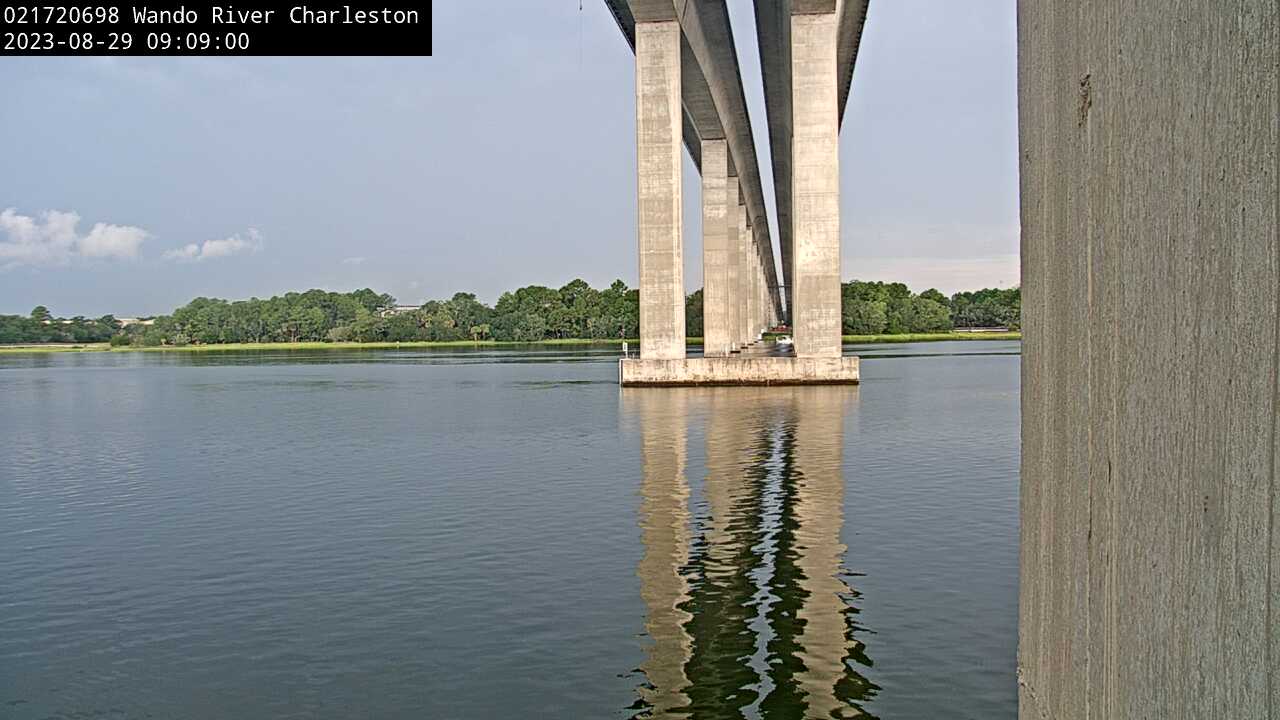
Wando River above Mt. Pleasant (021720698)
We have installed a webcam at Wando River above Mt. Pleasant to allow you to view (in real time) the current conditions.
We have installed a webcam at Wando River above Mt. Pleasant to allow you to view (in real time) the current conditions.
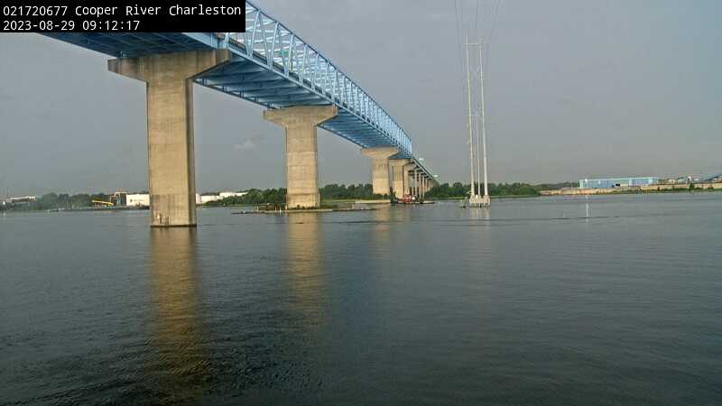
Cooper River at Filbin Creek at North Charleston (021720677)
We have installed a webcam at Cooper River at Filbin Creek at North Charleston to allow you to view (in real time) the current conditions.
We have installed a webcam at Cooper River at Filbin Creek at North Charleston to allow you to view (in real time) the current conditions.