
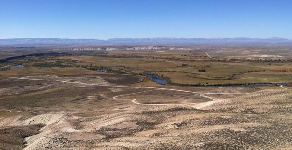
Sampling for aquatic invasive species in the Greater Yellowstone Area.
Images
Images described and linked on this webpage come from a wide variety of USGS science activities and presentations performed by USGS Science Center staff members in the Region 7: Upper Colorado Basin. A search tool is provided to narrow the number of image files shown.
Filter Total Items: 496

Sampling for aquatic invasive species in the Greater Yellowstone Area.
Sampling for aquatic invasive species in the Greater Yellowstone Area.

Sampling for aquatic invasive species in the Greater Yellowstone Area.
Sampling for aquatic invasive species in the Greater Yellowstone Area.
Sampling for aquatic invasive species in the Greater Yellowstone Area.

Red spotted toad.
Red spotted toad.

A mangy wolf in Yellowstone National Park.

An agricultural barn with farming equipment stored outside in Colorado
An agricultural barn with farming equipment stored outside in Colorado.
An agricultural barn with farming equipment stored outside in Colorado.

Wind Turbines During Approaching Storm
A field of wind turbines in Wyoming with a storm rolling in.
A field of wind turbines in Wyoming with a storm rolling in.

Wheat Field Wind Turbines in Wyoming
Wheat field wind turbines in Wyoming.
Wheat field wind turbines in Wyoming.

Colorado River near Moab
The Colorado River as it runs near Moab, UT, surrounded by sandstone cliffs.
The Colorado River as it runs near Moab, UT, surrounded by sandstone cliffs.

Colorado River near Moab
The Colorado River as it runs near Moab, UT, surrounded by sandstone cliffs.
The Colorado River as it runs near Moab, UT, surrounded by sandstone cliffs.

View into Green River Basin from Wyoming Range, Dry Piney Basin
View into Green River Basin from Wyoming Range, Dry Piney Basin
View into Green River Basin from Wyoming Range, Dry Piney Basin

Active oil and gas pad near Canyonlands National Park
Active oil and gas pad on Bureau of Land Management lands near Canyonlands National Park, Utah.
Active oil and gas pad on Bureau of Land Management lands near Canyonlands National Park, Utah.

A managed wildfire burns in a Ponderosa pine stand, New Mexico
A managed wildfire burns in a Ponderosa pine stand, New Mexico
A managed wildfire burns in a Ponderosa pine stand, New Mexico

Cloud Lightning
What looks like lightning arcing through an ominous cloud is actually a dry landscape of rocky buttes in southern Utah and northeastern Arizona. River channels flow north from Arizona into the San Juan River. The light vertical feature at the top of the image is referred to as Comb Ridge, a jagged fold in the Earth's crust called a monocline.
What looks like lightning arcing through an ominous cloud is actually a dry landscape of rocky buttes in southern Utah and northeastern Arizona. River channels flow north from Arizona into the San Juan River. The light vertical feature at the top of the image is referred to as Comb Ridge, a jagged fold in the Earth's crust called a monocline.

Installing piezometer on the bank of the New Fork River
Installing piezometer on the bank of the New Fork River
Installing piezometer on the bank of the New Fork River
Confluence of New Fork (foreground) and Green Rivers
Confluence of New Fork (foreground) and Green Rivers
Confluence of New Fork (foreground) and Green Rivers

Installing stream thermistor at New Fork Groundwater Streamgage
Installing stream thermistor at New Fork Groundwater Streamgage
Installing stream thermistor at New Fork Groundwater Streamgage

Bull elk in Grand Teton National Park, Wyoming.
Bull elk in Grand Teton National Park, Wyoming.
Bull elk in Grand Teton National Park, Wyoming.

Assessing impacts to archaeological sites through collaboration
Archaeologists and fire scientists collaborate to assess impacts of wildfires on archaeological sites in the Jemez Mountains, New Mexico
Archaeologists and fire scientists collaborate to assess impacts of wildfires on archaeological sites in the Jemez Mountains, New Mexico

How fire research can help reduce cultural resource fire damage
Pre- and post-fire measurements of fire effects can help archaeologists and fire scientists determine how wildfires and prescribed fires impact cultural resources, and how management actions may reduce likelihood of damage
Pre- and post-fire measurements of fire effects can help archaeologists and fire scientists determine how wildfires and prescribed fires impact cultural resources, and how management actions may reduce likelihood of damage

Confluence of Cement Creek and the Animas River in Colorado
Although the visual picture of mixing zones at stream confluences appears straightforward, such as this one at the confluence of Cement Creek and the Animas River in Colorado, the chemical reactions that occur make them extremely complex from a water-quality perspective.
Although the visual picture of mixing zones at stream confluences appears straightforward, such as this one at the confluence of Cement Creek and the Animas River in Colorado, the chemical reactions that occur make them extremely complex from a water-quality perspective.

A managed wildfire in New Mexico
A managed wildfire in New Mexico demonstrates application of wildland fire
science for forest restoration and risk reduction
A managed wildfire in New Mexico demonstrates application of wildland fire
science for forest restoration and risk reduction